Mount Ossa (Kissavos)
- Forest, Gorges, Hiking-Trekking, Mountains, Traditional Villages, Waterfalls
- Geo Area: Thessaly

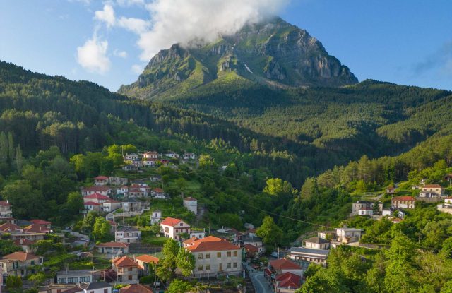
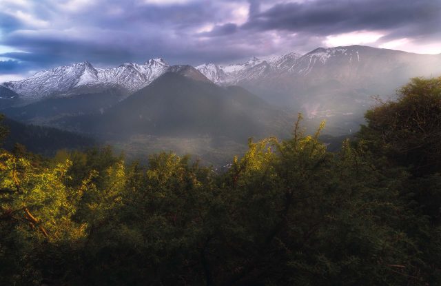
Mount Ossa, better known in Greece as Kissavos, is a mountain of 1,978 metres in Thessaly. It stands between Mount Olympus and Mount Pelion, close to the city of Larissa on one side and the Aegean Sea on the other. Forest covers most of it, with beech and fir high up and chestnut lower down. A mountain refuge at 1,604 metres can be reached by road, and from there the summit is a walk of about an hour and a half. On the side of the sea, a path leads to the Kalypso waterfall, about 70 metres high. Villages with stone houses stand around the mountain, among them Ambelakia with its 18th-century mansions.
Geography
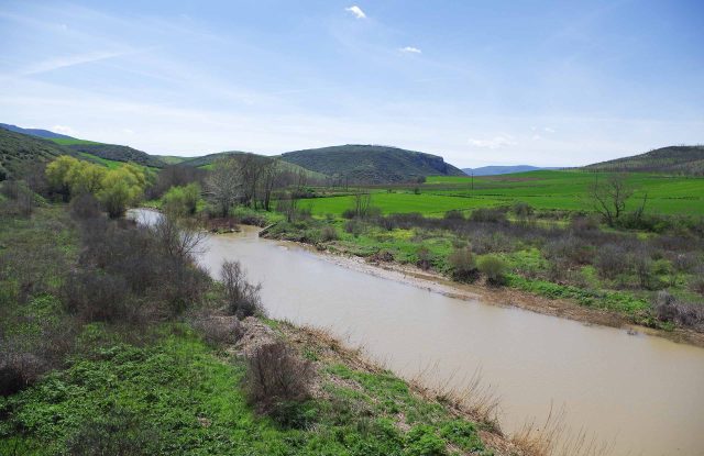
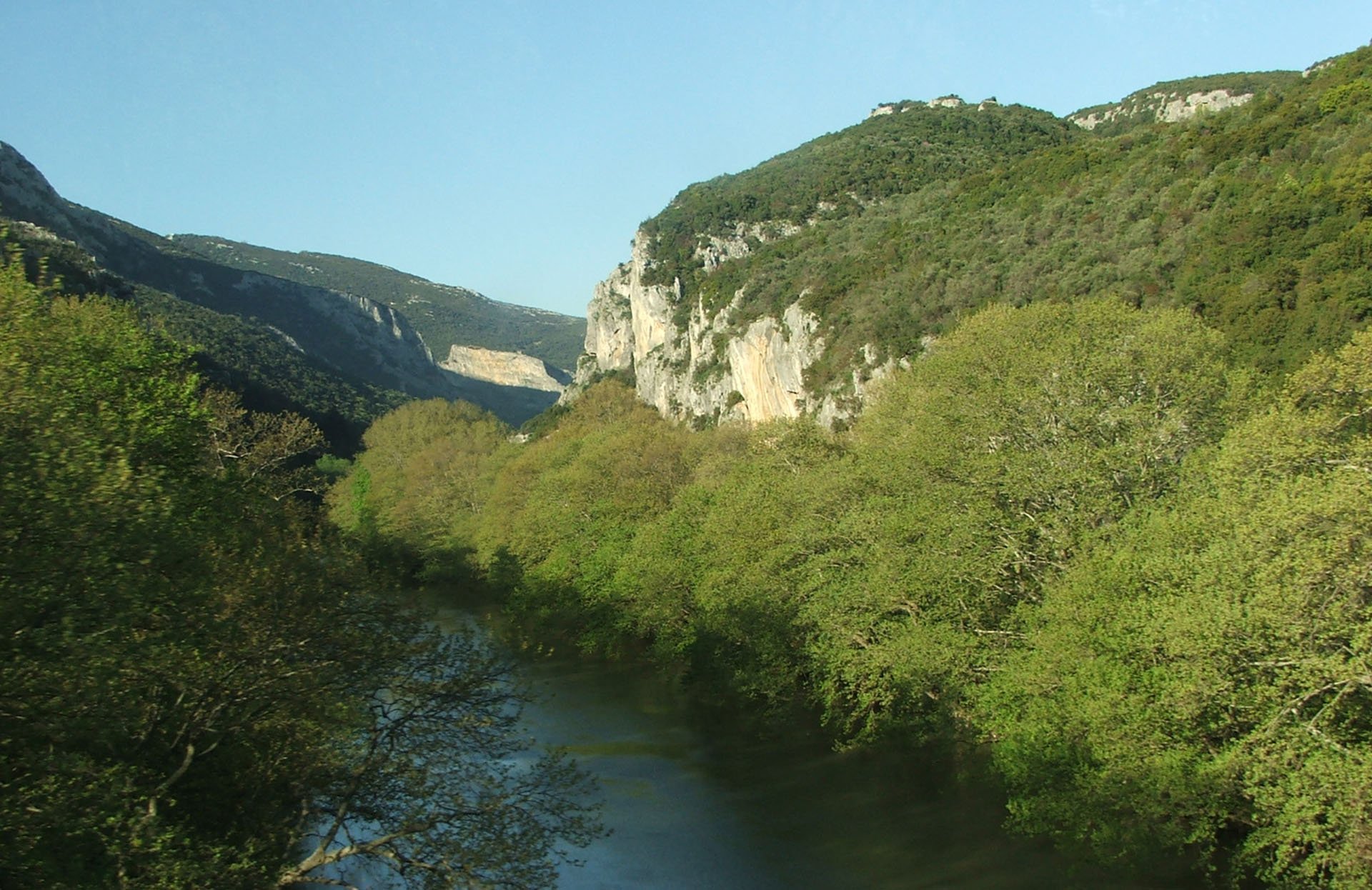
Mount Ossa, also named Kissavos, stands in eastern Thessaly, north-east of the city of Larissa. Its highest point is the peak of Profitis Ilias, at 1,978 metres. To the north, the Vale of Tempe separates it from Mount Olympus, and the Pineios River flows through that valley to the sea. Mount Pelion lies further south.
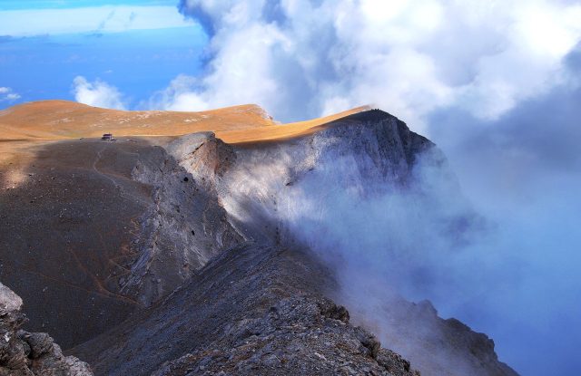
The western side faces the plain of Thessaly, and the eastern side drops to the Aegean Sea. The distance from the summit to the coast is short, so the mountain takes a lot of rain and snow from the sea, and fog is common near the top. The rock is limestone, and water has cut ravines, cliffs and caves into it. Above the forest the ground is bare, and on a clear day the view from the summit reaches Olympus, the plain and the sea.

Activities
The best-known walk is the climb to the summit. It starts at the mountain refuge at Kanalos, at 1,604 metres. The path is about three kilometres long and gains 500 metres, and it takes about an hour and a half. Red marks on the stones show the way. At the top is a small chapel of the Prophet Elijah, built under the ground. Walkers who want a longer day start in the village of Spilia. From there the national trail O2 climbs six kilometres through fir forest to the refuge. The O2 crosses the whole mountain on its way from Mount Olympus to Mount Pelion.
On the eastern side, a marked path leads through the forest to the Kalypso waterfall. From April to October, guides also take groups canyoning in the gorge, with rope descents down several waterfalls. An easier walk of about two and a half hours goes downhill from the village of Anatoli to the village of Metaxochori.


Nature & Outdoors
Forest covers a large part of the mountain. The Aesthetic Forest of Ossa has been protected since 1977 and covers about 165 square kilometres, and the mountain also belongs to the Natura 2000 network. Beech and fir grow on the higher slopes. Lower down there are chestnuts, oaks and maples, with plane trees along the streams and strawberry trees on the side of the sea. In autumn the beech forest changes colour.
On the eastern side, the Kalypso gorge runs down towards the coastal village of Kokkino Nero. In it is the Kalypso waterfall, about 70 metres high, with a pool at its foot where people swim in summer. The gorge has several more waterfalls. Wild boar, deer, foxes and jackals live in the forest.


Villages & Inland
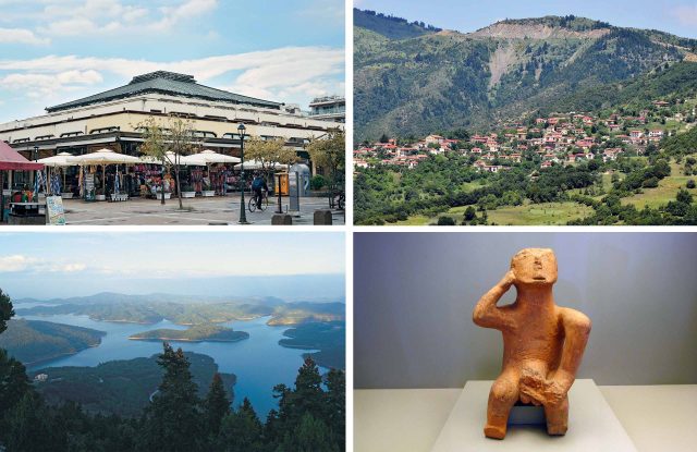
The villages stand on the lower slopes, all around the mountain. Ambelakia, on the north-western side above the Vale of Tempe, became rich in the 18th century from red cotton thread, which its people dyed and sold through a cooperative. Stone mansions from those years still stand. The mansion of Georgios Schwarz, begun in 1787, is open to visitors. Its rooms have wall paintings and carved wood.
Spilia, at about 800 metres on the western side, is the village where walkers start for the summit. It has stone houses, a square under plane trees and a small church built against a rock. Anatoli, at about 960 metres on the southern side, looks towards the sea. Five kilometres from it, in the forest, is the 16th-century monastery of Timios Prodromos.


Practical information
Getting there
The usual way up is from the western side. From the city of Larissa, drive to the village of Spilia. An asphalt road climbs from Spilia to the refuge at Kanalos, and the drive from Larissa takes about 45 minutes. Spilia is about two hours from Thessaloniki and more than four hours from Athens. For the Kalypso waterfall, go to the coastal village of Kokkino Nero on the eastern side. Regional buses from Larissa reach the towns of Sykourio and Agia, at the foot of the mountain.
Getting around
No asphalt road crosses the mountain from one side to the other. Dirt forest roads link the village of Anatoli with the village of Spilia, and Spilia with the village of Karitsa on the side of the sea. Each takes an hour or more, and a 4×4 is the safe choice. To change sides on asphalt, drive around the mountain, through the Vale of Tempe in the north or through the town of Agia in the south.
When to go
Late April to the middle of June and the middle of October to early December are the best times for walking. In autumn the beech forest is at its most colourful. The Kalypso waterfall and the canyoning season run from late April to October. In winter the mountain takes heavy snow, and avalanches have happened on the upper slopes, so the summit is then for people with winter mountaineering experience. Fog can come at any time of year.
Good to know
The refuge at Kanalos belongs to the mountaineering club of Larissa. It sleeps about 60 people, but it is not staffed every day, so call the club before you plan a meal or a night there. In fog, follow the red marks and do not leave the path. Wild camping is not allowed on the mountain. In Ambelakia, check the opening hours of the Schwarz mansion before you go.
Mount Ossa (Kissavos)— been there?Tell others what you saw.
A photo and two lines are enough.