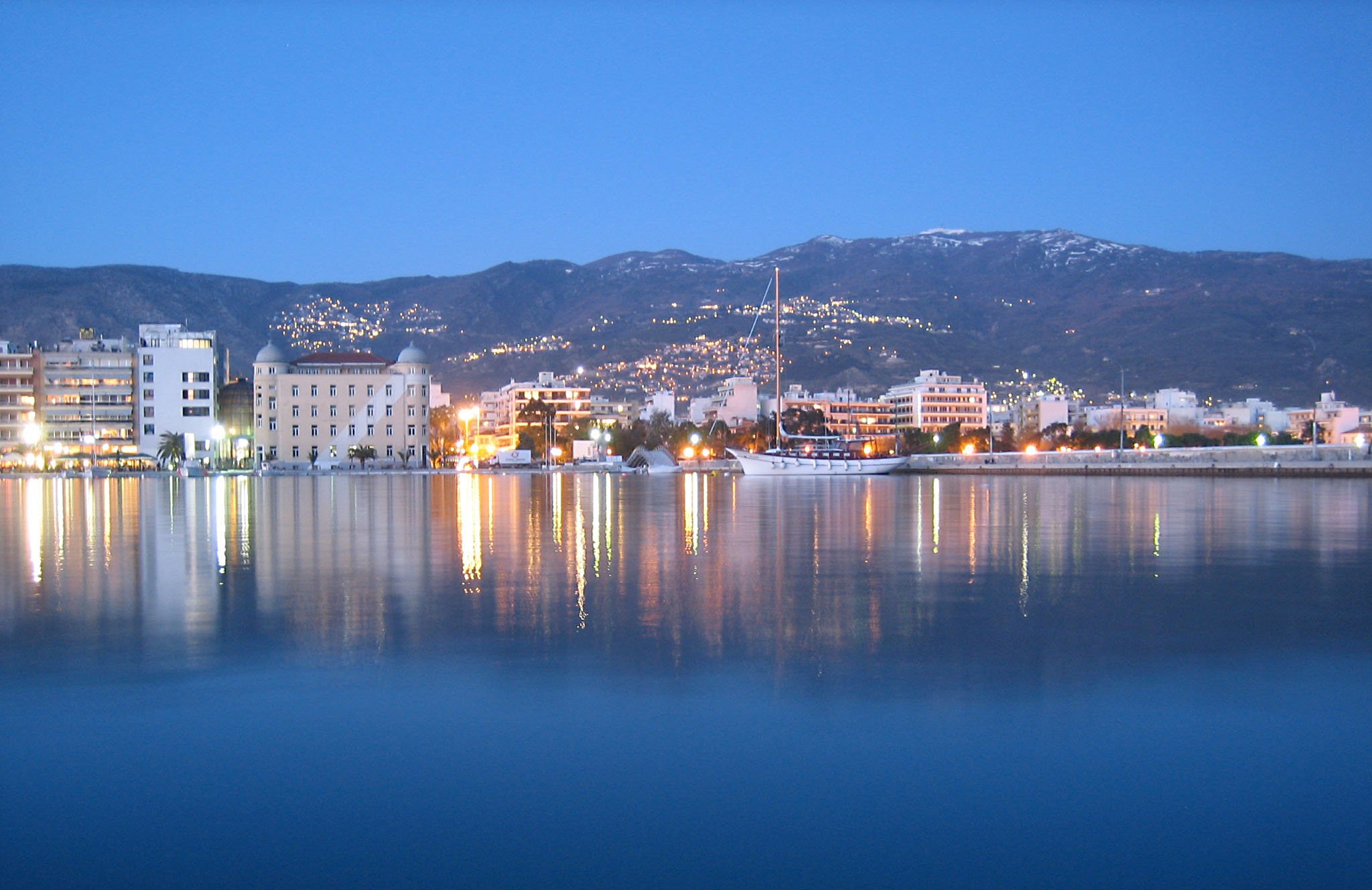
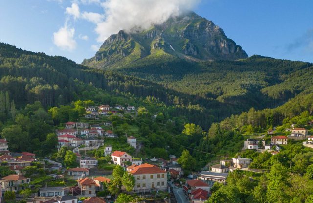
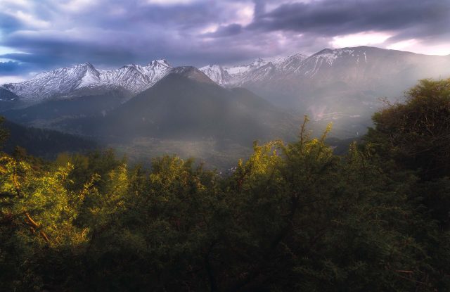
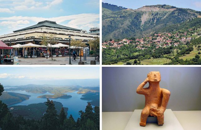
Mount Pelion is a forested mountain of 1,624 metres in Thessaly, above the city of Volos. It forms a peninsula between the Pagasetic Gulf and the Aegean Sea, so the sea is close on both sides. Old stone paths join its villages, and walkers follow them through beech and chestnut forest. One marked route, the Long Pelion Trail, covers the whole length of the mountain in 168 kilometres. In winter there is a ski centre near the village of Chania. In Greek myth Pelion was the home of the Centaurs, and the giants tried to put it on top of Mount Ossa to reach the gods. The villages and beaches of the mountain are described on the page for the Pelion peninsula.

TIP: Drag and drop "Pegman" onto zoomed map for a 360o photo view !

Geography

Mount Pelion stands in the south-east of Thessaly, above the city of Volos. It forms a long peninsula in the shape of a hook, with the Pagasetic Gulf on its western side and the open Aegean Sea on its eastern side. The highest peak is Pourianos Stavros, at 1,624 metres. It is in the north-western part of the mountain, above the village of Makrinitsa. To the north, lower hills join Pelion to Mount Ossa.

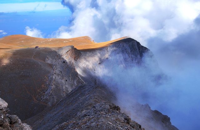
About 70 per cent of the mountain is made of schist, a rock that breaks down slowly, so most slopes are gentle and rounded. The limestone area around the highest peak is steeper. The two sides do not have the same weather. The Aegean side gets almost twice as much rain as the side of Volos, and springs and streams run all over the mountain. In winter the high ground has enough snow for skiing.

Activities

People come to Pelion to walk. The villages were joined for centuries by stone-paved mule paths, named kalderimia, and many of them are in use as walking paths. The Long Pelion Trail joins them into one route of 168 kilometres. It runs from the village of Kamari in the north to the small port of Agia Kyriaki at the southern tip, in eleven day sections, and it is marked with red paint. The Centaurs' Path is an easy circular walk of two to three kilometres beside a stream, in the village of Portaria. The Waterfall Path goes down from the village of Chania to the village of Makryrachi in about four hours, past several waterfalls.

In winter there is skiing at the Pelion Ski Centre, at Agriolefkes near Chania. It was created in 1967 and has seven runs, five lifts and a track for cross-country skiing. From the runs you can see the sea.

Villages & Inland

Above Volos

Portaria and Makrinitsa are the first villages on the road up from the city. Makrinitsa is known as the balcony of Pelion, for its view over Volos and the gulf. Higher up, Chania stands near the ski centre, where the road crosses to the other side of the mountain.

The Aegean side

Zagora and Tsagarada are the main villages here. Zagora is known for its apples, and Tsagarada for a very old plane tree in its square. Kissos is a smaller and quieter village on the same side. Pouri, further north, is the start of several long walks.

The Pagasetic side

Milies is the upper end of the old Pelion railway and has a library founded in 1814. The village of Vizitsa is close to it. Agios Lavrentios is a quiet village on the same side.

The page for the Pelion peninsula describes these villages in more detail.

Nature & Outdoors

Pelion is covered with forest from the sea to the peaks. Beech forest grows on the high ground. Lower down there are sweet chestnut trees, mainly on the eastern and southern sides, and oak woods in the north. Plane trees and alders follow the streams. Near the coast the trees give way to evergreen bushes, olive groves and orchards of apples and walnuts.

The streams of the wet eastern side form pools and small waterfalls, some of them up to fifteen metres high. On the Waterfall Path, between the villages of Chania and Makryrachi, several of them follow one another. The whole mountain and the sea along its Aegean coast belong to the Natura 2000 network of protected areas. That coast is steep and rocky, with small beaches and caves that are partly under the water.

Practical information

Mount Pelion:

Getting there

Volos is the gateway to the mountain, about 330 kilometres from Athens and 210 kilometres from Thessaloniki. From Volos, the main mountain road climbs through the village of Portaria to the village of Chania and the ski centre, and then goes down to the Aegean side. A second road follows the coast of the Pagasetic Gulf to the south of the peninsula. Choose the road by the side of the mountain you want, because crossing from one side to the other takes time.

Getting around

The walks on Pelion are mostly one-way, from one village to the next, so plan how you will return. The Waterfall Path, for example, ends more than 1,000 metres lower than it starts. A taxi or a second car solves this. The stone paths are slippery when they are wet, so wear shoes with a good grip. Walkers on the Long Pelion Trail sleep in the villages, in hotels and rented rooms, because each day section ends at a village.

When to go

May and June, and then September and October, are the best months for walking. In spring the days are long and cool. In autumn the days are shorter and rain is possible. The ski season runs from about Christmas to Easter when there is enough snow. Check the snow report of the ski centre before you travel.

Good to know

The Long Pelion Trail has no mountain huts, so book a room in the village where each section ends. There are springs with drinking water on many paths, but carry water on the long sections. The marks on the paths are simple paint marks, so a map or a navigation app helps. At the ski centre there is a ski school and equipment to rent.