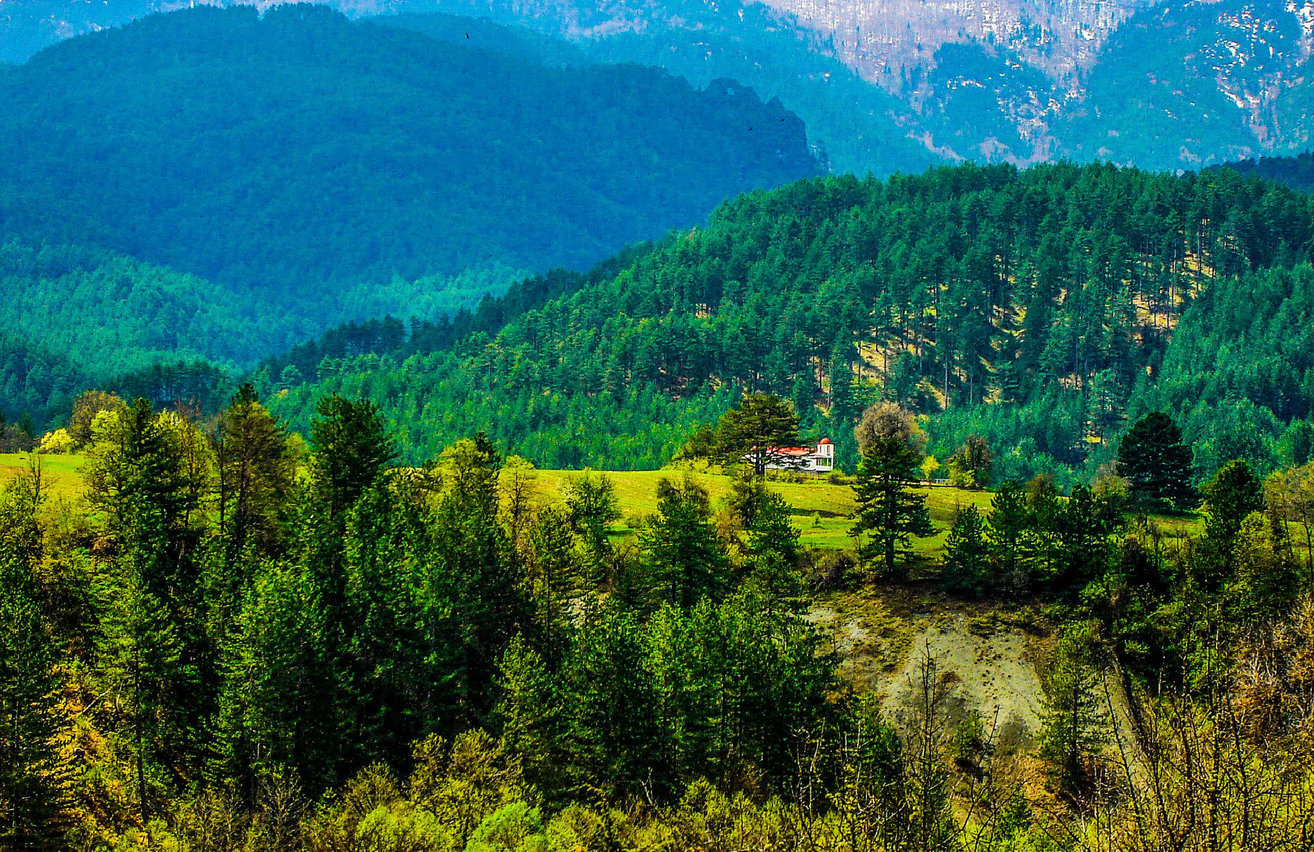
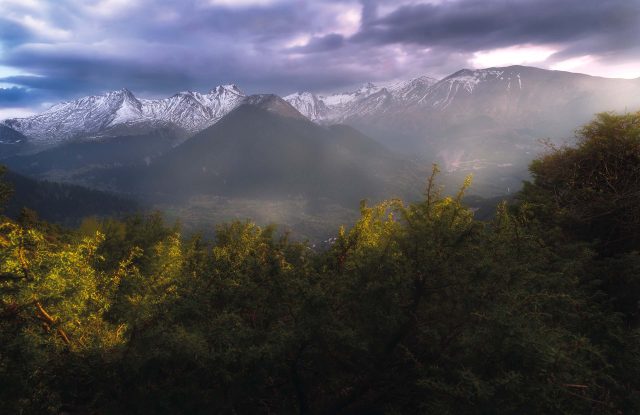
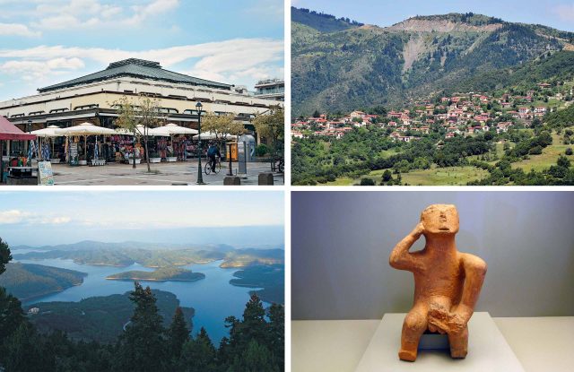
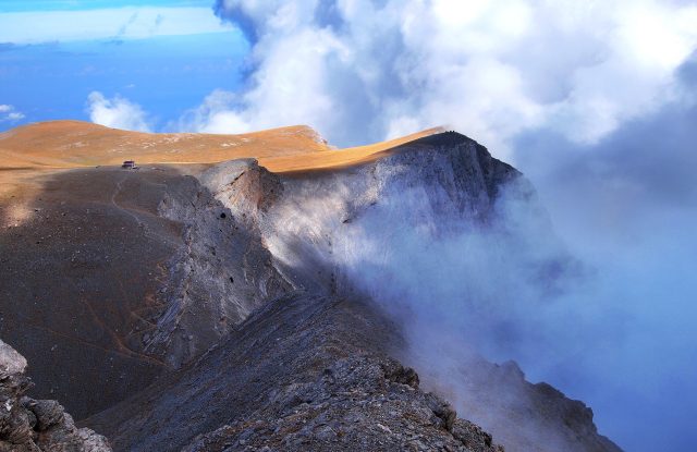
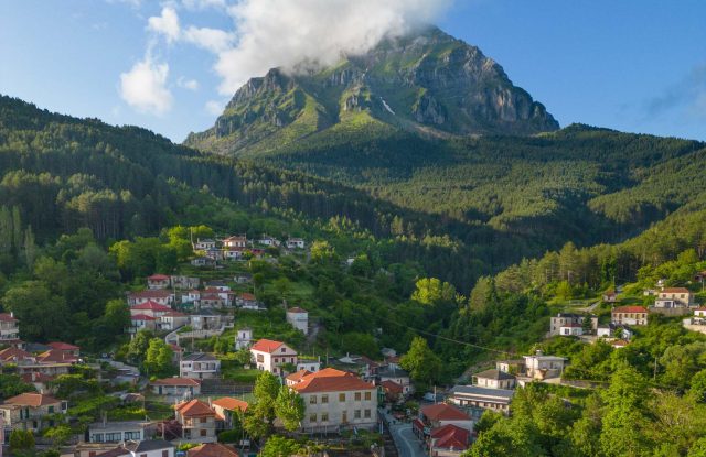
The Pindus is the long mountain range in the middle of mainland Greece. It runs for about 180 kilometres through Epirus, western Macedonia, Thessaly and Central Greece, and its highest peak, Mount Smolikas, reaches 2,637 metres. The range is a line of separate mountains, and most of them have their own page on this site. Visitors come for the Vikos Gorge, the small lakes high on Smolikas and Mount Tymfi, and the forests of Valia Calda, where bears live. They also come for the stone villages of Zagori and the mountain town of Metsovo. A marked walking route, the Pindus Trail, follows the whole range. In winter several small ski centres work on its mountains.

TIP: Drag and drop "Pegman" onto zoomed map for a 360o photo view !

Geography

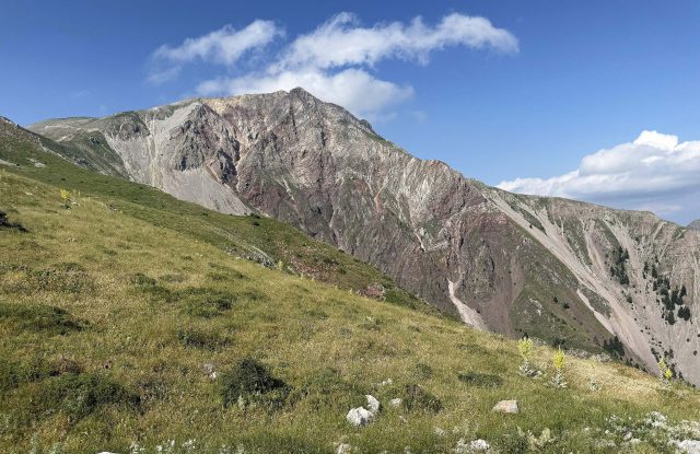
The Pindus is the main mountain range of mainland Greece. It runs from the border with Albania south to Central Greece, about 180 kilometres from north to south and about 56 kilometres across. The highest point is Mount Smolikas, at 2,637 metres. The Pindus is not one continuous ridge. It is a line of separate mountains, with deep valleys between them, and few roads cross it.

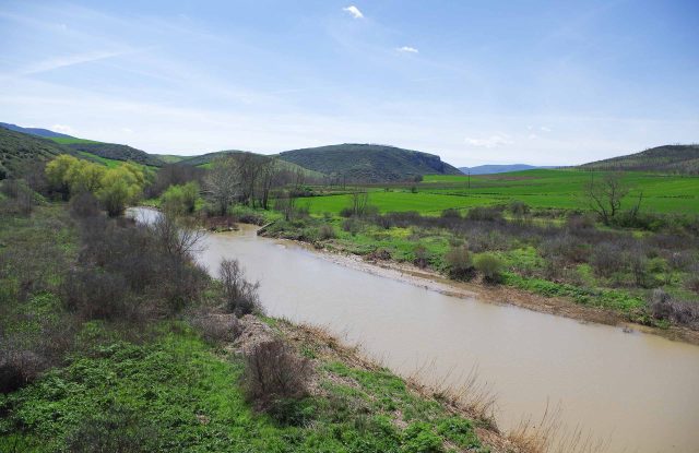
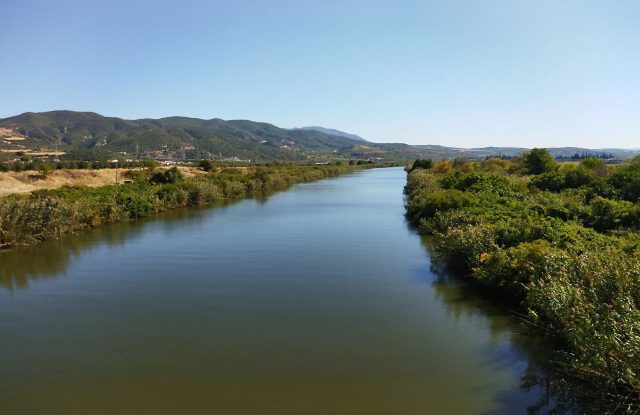
The range divides the rivers of the mainland. On the western side, the Aoos River and the Achelous River begin here. On the eastern side, the Pineios River and the Aliakmon River begin here. The western side receives more rain, and the plain of Thessaly to the east is drier. The old road between Epirus and Thessaly crosses the range at the Katara pass, at about 1,700 metres, near the town of Metsovo. The Egnatia motorway passes under the mountains through tunnels.

Nature & Outdoors

The northern Pindus

The highest mountains are in the north. Mount Grammos stands on the border with Albania. Lake Gistova lies high on Grammos, at about 2,350 metres. Mount Smolikas and Mount Tymfi each have a small mountain lake above 2,000 metres, and local people call both of them Dragon Lake. Below Tymfi is the Vikos Gorge, about 990 metres deep. Near Mount Vasilitsa lies Valia Calda, a valley of black pine and beech forest where brown bears live. It has been a national park since 1966.

The central Pindus

Lakmos rises near the town of Metsovo. The Tzoumerka mountains reach 2,429 metres and have been a national park since 2009, together with the gorge of the Arachthos River. The Agrafa Mountains lie between the Tzoumerka and Mount Tymfristos.

The southern Pindus

Mount Tymfristos, also called Velouchi, rises to 2,315 metres above the town of Karpenisi. The Vardoussia range, south-east of it, reaches 2,495 metres.

Villages & Inland

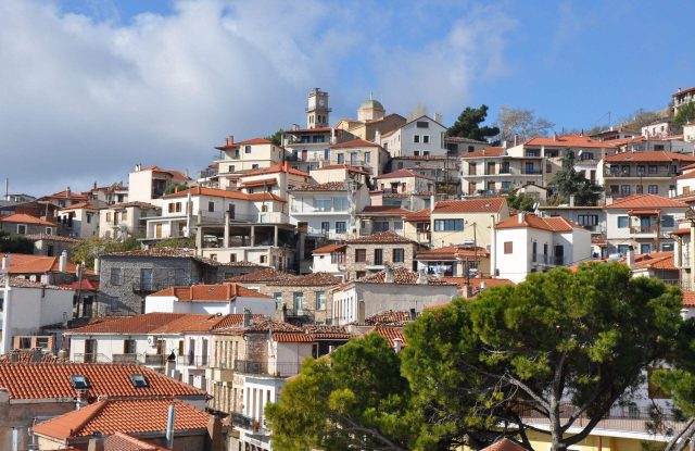
The best-known villages of the Pindus are in Zagori, near the city of Ioannina. There are forty-six of them, built of grey stone with slate roofs, and old stone paths and arched bridges connect them. UNESCO added Zagori to its World Heritage List in 2023. Papingo is the village where the main path up Mount Tymfi starts.

Metsovo is a mountain town near the Katara pass, known for its cheeses. In the Tzoumerka mountains, Syrrako and Kalarites are two stone villages at about 1,200 metres. They grew rich from sheep and trade in the 18th and 19th centuries.

Samarina stands at about 1,450 metres on the slopes of Mount Smolikas. It is a village of the Vlachs, mountain people who kept sheep and moved with them between summer and winter pastures.

Activities

The Pindus Trail is a long walking route along the whole range. It has forty-one stages and more than 600 kilometres, from Delphi in the south to the village of Laimos near the Prespa Lakes in the north. The route has its own marks, but some stages are still waiting for them, so check the state of each stage before you start. Each mountain also has its own routes, described on its page.

In winter there is skiing at several small ski centres. The one on Mount Vasilitsa has about eighteen runs, and there is another on Mount Tymfristos, above the town of Karpenisi.

Rafting companies work on the Aoos River and the Arachthos River. The season on the Aoos is spring, when the snow melts.

Practical information

Pindus Mountain Range:

Getting there

The Pindus has no single way in: each mountain is reached from the town nearest to it. The city of Ioannina is the base for Zagori and Mount Tymfi. The town of Grevena is the base for Mount Vasilitsa and Valia Calda, Kastoria for Mount Grammos, and Karpenisi for the southern mountains. The Egnatia motorway crosses the range through tunnels and joins Ioannina with Grevena in about an hour.

Good to know

Distances are long and the roads are slow. A village on one side of a mountain can be far by road from a village on the other side, so choose one or two mountains for a trip. Ask each mountain refuge whether it is open before you plan to sleep there. Bears and wolves live in the northern Pindus. Some stages of the Pindus Trail have no marks, so carry a map or a GPS track.

When to go

The high paths are free of snow from about late spring to autumn. The mountain refuges on Mount Tymfi and Mount Smolikas usually open from May to October or early November. The ski centres usually work from late December to early April, when there is enough snow. Rafting on the Aoos River is in spring. In every season the weather changes fast on the high ground, so carry warm clothes.

Pindus Mountain Range— been there?Tell others what you saw.

A photo and two lines are enough.
More places in Epirus & Central Greece & Macedonia & Thessaly:
map Greece Central Greece
map Greece Epirus
map Greece Macedonia
map Greece Thessaly