Exploring Karpenisi and the Evrytania Area
- Gorges, Lakes, Landmark Monasteries, Mountains, Rafting, Rivers, Snow Skiing, Traditional Villages
- Geo Area: Central Greece

Evrytania is the most mountainous part of Central Greece and one of the emptiest places in the country. There is no coast, no motorway through it, and no large town — only Karpenisi, its capital, at the foot of a mountain.
The land is fir forest, deep gorges and clear rivers, and almost everything is above a thousand metres. That kept it isolated for centuries, and it is also why it became the base of the mountain government during the German occupation.
People come here in winter for the snow and in summer to walk, and the villages in between are stone, timber and slate.
History & Culture
The parliament in a village school
In March 1944 the resistance set up a governing body for the parts of Greece it controlled, at the village of Viniani. It became known as the government of the mountain.
Elections followed in April, held in secret and under occupation, and more than a million people voted. They were the first elections in Greece in which women could vote.
The assembly they elected met at Koryschades, five kilometres from Karpenisi, from 14 to 27 May 1944, in the village primary school. Around a hundred and seventy delegates reached the village, some of them walking for twenty days to get there, and three of them were women. Their first resolution declared that all power comes from the people.
The school is now the National Resistance Museum. The assembly hall is kept as it was, with the desk the delegates spoke from. Entry is free.
Proussos
Thirty kilometres south of Karpenisi, the Monastery of Proussos is built into a vertical cliff between two mountains, above a gorge.
It takes its name from the icon it holds, said to have come from Prousa in Asia Minor during the iconoclast persecutions of the ninth century, and known across central Greece as the Lady of Roumeli. Tradition dates the monastery to 829; historians think somewhere between the twelfth and fourteenth centuries is more likely.
During the Ottoman period it sheltered civilians, and during the war of independence it sheltered fighters. Georgios Karaiskakis was nursed back to health here and left his general's insignia as an offering; his weapons are still in the monastery treasury. Two watchtowers he built stand on the slope above.
German troops burned much of the monastery in August 1944, but the icon and the treasures had been hidden in a crypt. Frescoes of the thirteenth and sixteenth centuries survive, and there is a small museum.
Karpenisi, 1823
At Kefalovryso, near Karpenisi, a monument marks the night attack of August 1823 in which Markos Botsaris was killed. He was one of the leading commanders of the revolution, and his death at the age of thirty-six was mourned across Europe.


Villages & Inland
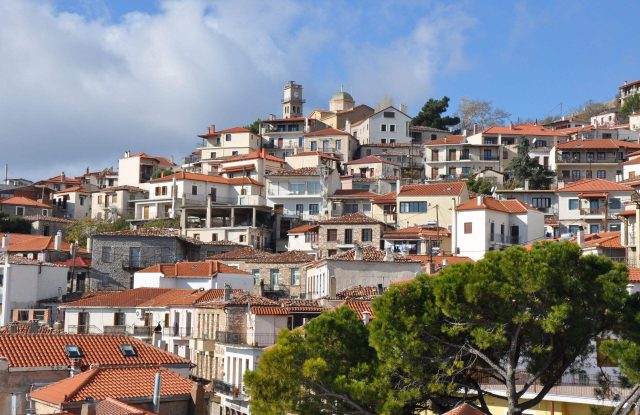
Karpenisi sits at about 960 metres below Velouchi and is the only town in the region. It has the practical things — hotels, tavernas, shops selling honey and cheese — and two museums worth an hour each: a mountain museum covering the history of climbing and skiing in Greece, and an interactive centre on the history of Evrytania.
Koryschades, at 940 metres, is a listed traditional settlement and the best preserved in the region: stone houses with overhanging upper floors and wooden balconies, a paved square under an enormous plane tree, and a church of 1865. Above it are the remains of an early Christian fort.
Megalo Chorio and Mikro Chorio face each other across the Karpenisiotis valley, five and ten kilometres from town, both built up their slopes in stone.
Gavros, in the valley below, is where the tavernas are, and Proussos is the village beside the monastery, at the end of a long mountain road.


Nature & Outdoors
The mountains
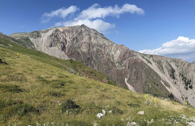
Mount Velouchi, also called Tymfristos, rises directly above Karpenisi and is the defining feature of the region. West of it stand the Agrafa, part of the Pindus range and among the least populated mountains in Greece. To the south are Chelidona, Kaliakouda and the Panaitoliko range.
All of them are covered in Greek fir, which is why Evrytania looks green from every direction.
The gorges
Panta Vrehi — the name means it always rains — is the best known. A series of waterfalls falls continuously down the rock walls, so the air inside the gorge stays wet whatever the weather. Getting to it is not simple: the last stretch needs a rough track or a walk.
Near Proussos, the Mavri Spilia gorge starts at a stone fountain by a bridge and passes three small waterfalls and a wooden footbridge before reaching a fall of about ten metres with a pool beneath it.
The rivers and the lake
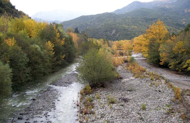
The Karpenisiotis and the Krikelopotamos meet at a place called Dipotama and become the Trikeriotis, which runs down to the lake. The Tavropos, also called the Megdovas, drains the eastern side, and the Acheloos forms the western boundary.
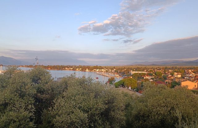
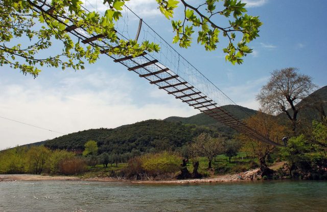
All of them end in Lake Kremasta, the largest artificial lake in Greece, made in the 1960s behind a hydroelectric dam. It is about fifty-five kilometres from Karpenisi, and two long bridges cross it — at Episkopi and at Tatarna. The water is blue-green and the fir forest comes down to it on all sides.


Activities
Skiing
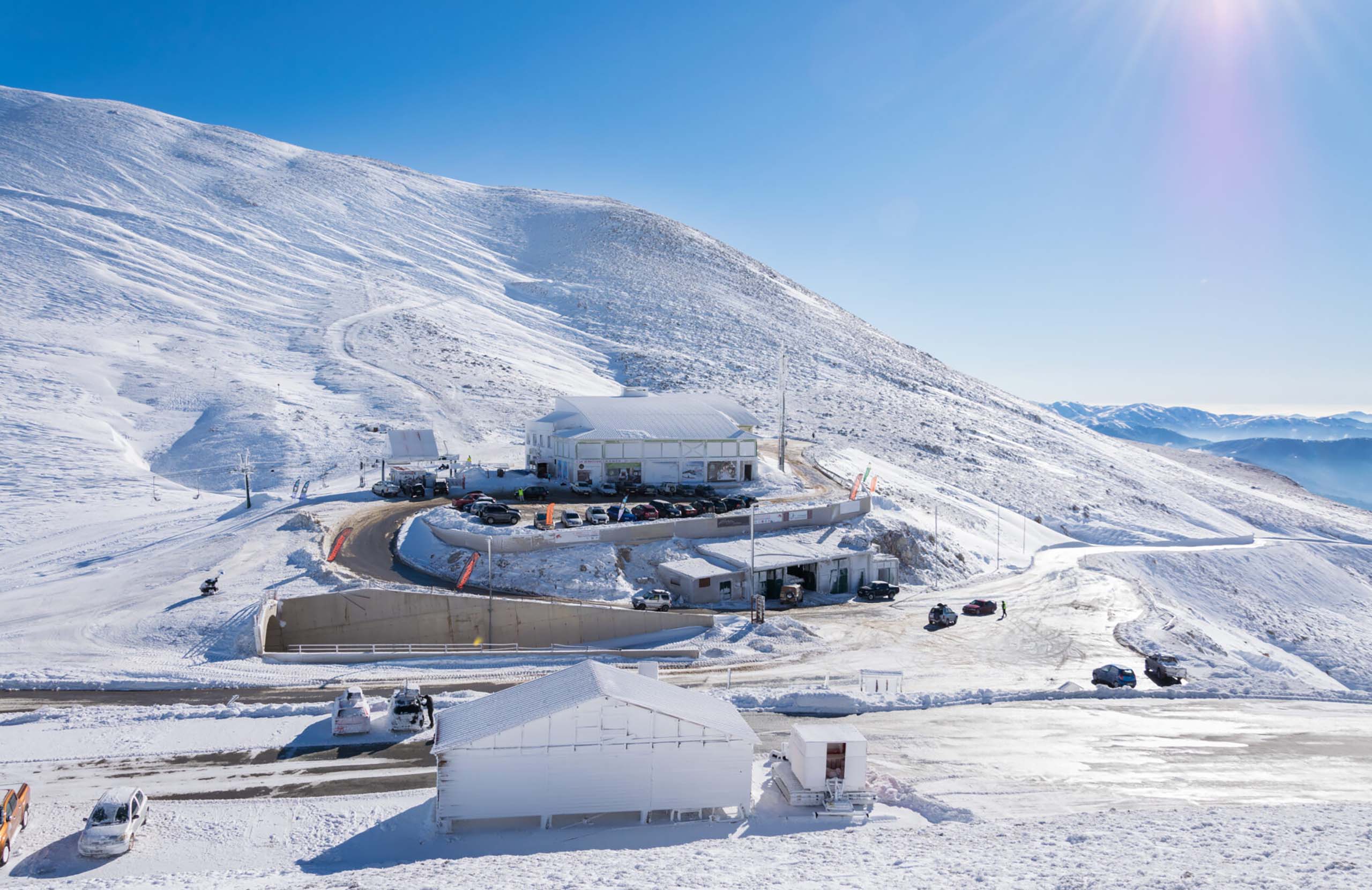
The Velouchi ski centre is about twelve kilometres from Karpenisi, at 1,840 metres, at a place called Diavolotopos. It has around eighteen runs, a snowboard slope and some off-piste routes, and a modern chalet at the top with a view over the whole range.
It was the first ski centre to open in Greece.
On the water and on foot
Rafting and kayaking run on the Tavropos and the Trikeriotis, with routes graded for beginners and for experienced paddlers, and operators based around Karpenisi.
The E4 European long-distance path crosses Evrytania, and there is a marked network of shorter routes around the Karpenisiotis valley linking the villages. The gorges are the other walking, and the rock around Panta Vrehi is used for climbing.
Food & Drink
Evrytania eats what a mountain region eats. Lamb and goat are roasted whole or cooked slowly, wild boar appears on menus in winter, and the pies are made with pastry rolled by hand.
Mushrooms and chestnuts come out of the fir forests in autumn and turn up in everything. The cheeses are made locally from sheep and goat milk, and the honey is the region's best-known product, gathered from fir and from mountain herbs.
The drink is tsipouro, and the region also makes a small amount of wine.
Where to Stay
Prices shown per night for a sample 3-night stay. Rates and availability vary by season — select your dates for live pricing.
Practical information
Getting there
Karpenisi is about 290 km from Athens and roughly 75 km from Lamia, which is the nearest town on the main motorway. The drive from Athens takes around four hours, the last hour of it on mountain roads.
There is no airport and no railway. KTEL buses run from Athens and from Lamia, but not often. A car is close to essential.
Getting around
Everything in Evrytania is reached by mountain road, and distances take much longer than they look. Karpenisi to Proussos is thirty kilometres and takes about an hour. The lake is further still.
Roads are narrow, winding and exposed, and in winter they can need chains or close entirely. Check conditions before setting out between November and March.
Panta Vrehi and some of the gorges need a high-clearance vehicle for the last stretch, or a walk.
When to go
Evrytania is one of the few Greek destinations with a real winter season. December to March is when the ski centre runs and when the town fills up, particularly at Christmas and around Carnival — book well ahead.
May, June, September and October are the months for walking, the gorges and the rivers. Autumn is the best of all: the chestnuts and mushrooms are in, and the beech and plane turn colour against the fir.
Summer is cool here compared with the lowlands, which is part of the point.
Good to know
The Resistance Museum at Koryschades is closed on some weekdays and has short hours — check before you drive out.
Proussos requires modest dress, and the road to it is long and slow. Allow half a day.
Mobile signal is patchy in the valleys and gorges. Tell someone where you are going if you walk alone.
Village tavernas often close outside the season, and in the smaller settlements there may be nowhere open at all on a weekday in November.
Exploring Karpenisi and the Evrytania Area— been there?Tell others what you saw.
A photo and two lines are enough.