
Ikaria lies in the North and East Aegean, west of Samos, and it is the most mountainous island in the Aegean — a long ridge of rock and forest with villages hidden in the folds of it.
The island takes its name from Icarus, who in the myth flew too close to the sun and fell into the sea off this coast.
Two things have made it known well beyond Greece. The first is its hot springs, among the most radioactive in the world and used since antiquity. The second is that Ikaria was identified as one of the world's Blue Zones — places where people live unusually long lives — which brought a great deal of attention to how Ikarians eat, sleep and spend their time.
The island is also famous within Greece for its all-night village festivals, and for a way of keeping time that does not match anybody else's.
What travellers posted
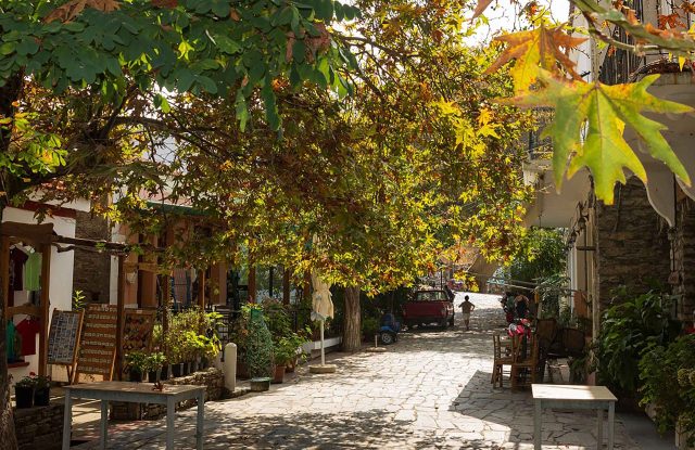
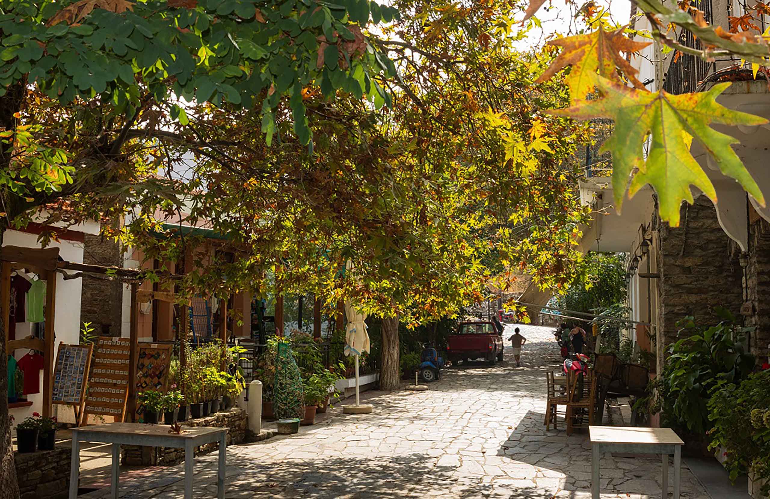
Been here? A photo and two lines are enough.
History & Culture
The Blue Zone
In the 2000s researchers looking for populations with exceptional longevity marked their locations in blue on a map, and Ikaria was one of five places identified. The Ikaria Study found that islanders were significantly more likely than average to reach ninety.
The explanations offered are all about ordinary life rather than medicine: a diet built on vegetables, pulses and olive oil, wine in moderation, afternoon sleep, walking and gardening rather than exercise, and unusually strong family and neighbourhood ties.
More recent research has questioned how solid the underlying data was, and the Blue Zone idea is now debated. What is not in dispute is that life on Ikaria runs at a different speed from anywhere else, and that most visitors notice it within a day.
The festivals
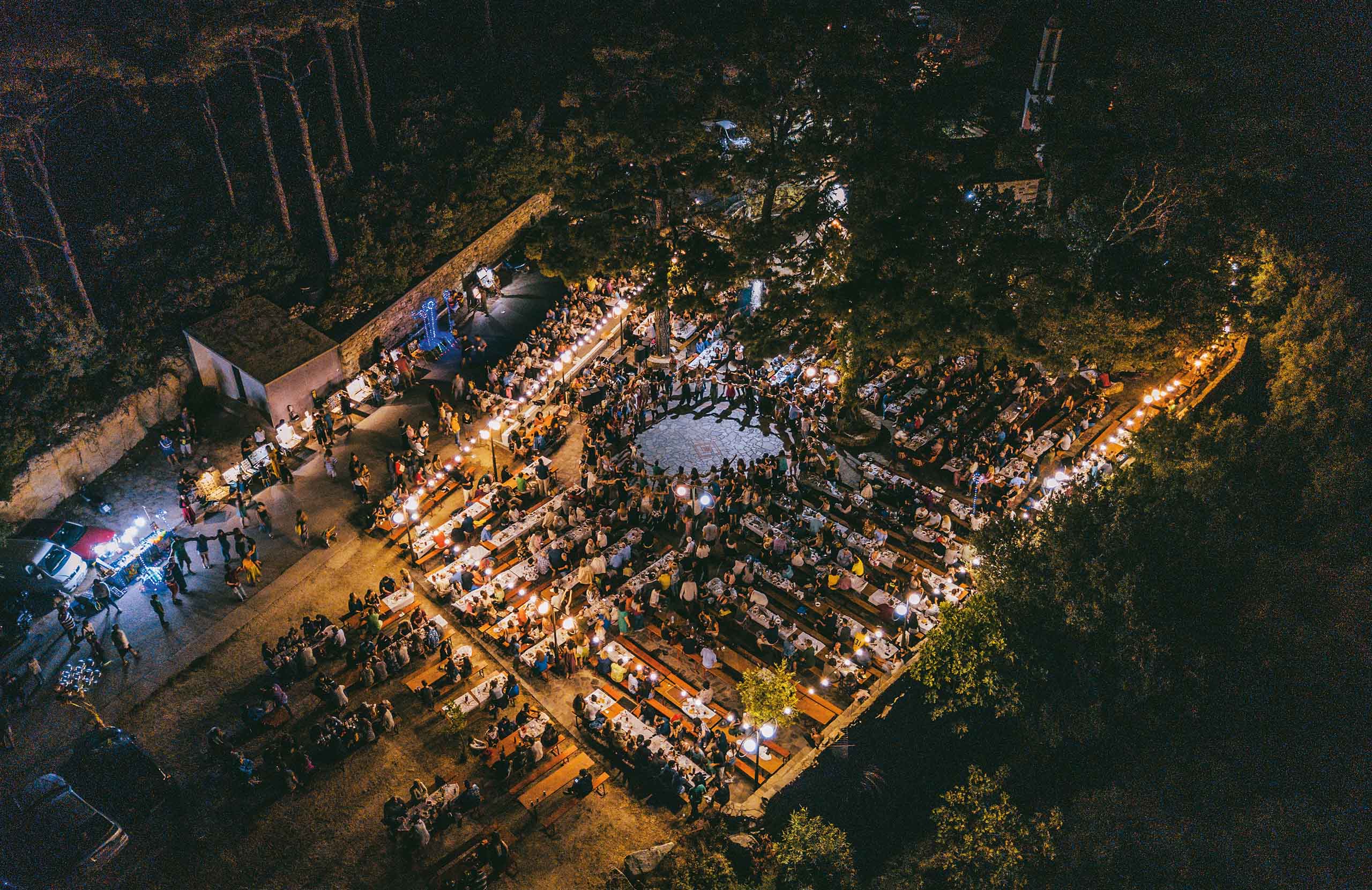
The panigiria are the island's real institution. Each village holds one on its saint's day through the summer, and they run all night: food cooked in quantity, wine, and Ikarian dancing that continues until it is light.
They are not put on for visitors. They are organised by the village and the proceeds go back to it, and everyone present is expected to join in rather than watch.
Antiquity
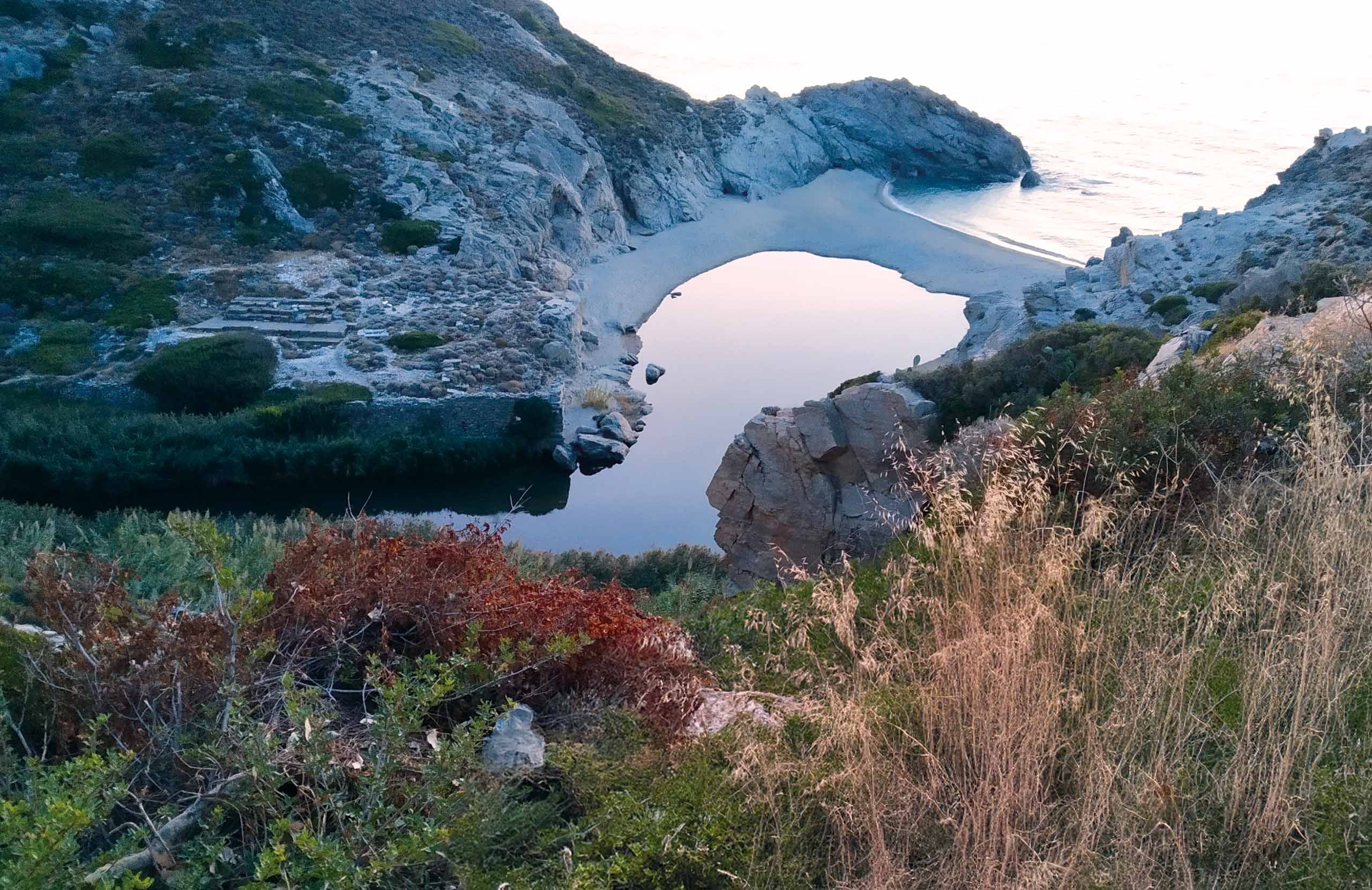
At Nas, on the northwest coast, the remains of a temple of Artemis Tavropolio stand above a river mouth where ships once sheltered. It is the island's main ancient site, and the setting — river, cove and cliffs — is the reason people go.
Kambos has the remains of a medieval fortress and the Byzantine church of Agia Irini.
The Archaeological Museum and the Folklore Museum in Agios Kirykos cover the rest.
Wellness
Ikaria has around ten certified mineral springs, and they are its oldest claim to fame — Herodotus described them.
They are among the most radioactive springs in the world. A study by the university in Thessaloniki found the highest concentration of radon in Greece here, and the water emerges at temperatures between about 33 and 58 degrees. The output is also unusually high compared with radon springs in other countries.
The main spa town is Therma, near Agios Kirykos, where three springs feed a working hydrotherapy centre. There are more at Kratsa, at the Pamfili cave, and at Lefkada.
Beside them are the Chalasmena Therma — the ruined baths — where an ancient spa sank into the sea. The springs still run there, straight out of the rock into the water, in the open and free.

Nature & Outdoors
The paths
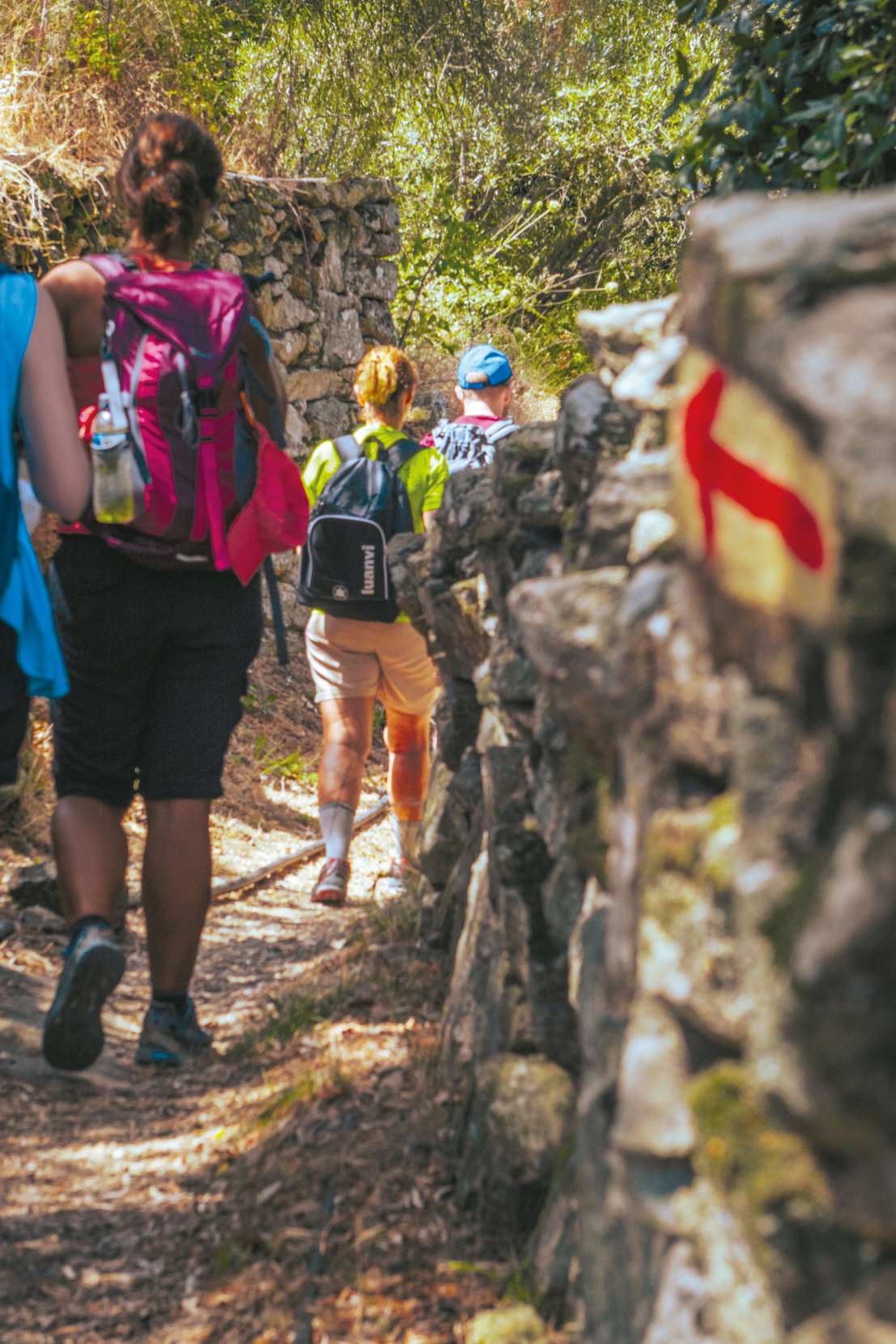
Ikaria has more than four hundred kilometres of paths, which is extraordinary for an island this size. In 2023 the regional authority commissioned a survey that mapped 310 kilometres of them into a single network, with signposting and repairs.
They exist because the terrain forced them: the island is steep, the villages are scattered, and until recently walking was how people moved between them.
The best-known route is the Round of Rahes, about twenty-five kilometres from the village of Christos through the highland settlements. Another runs from Christos down to the sea at Nas.
Water and rock
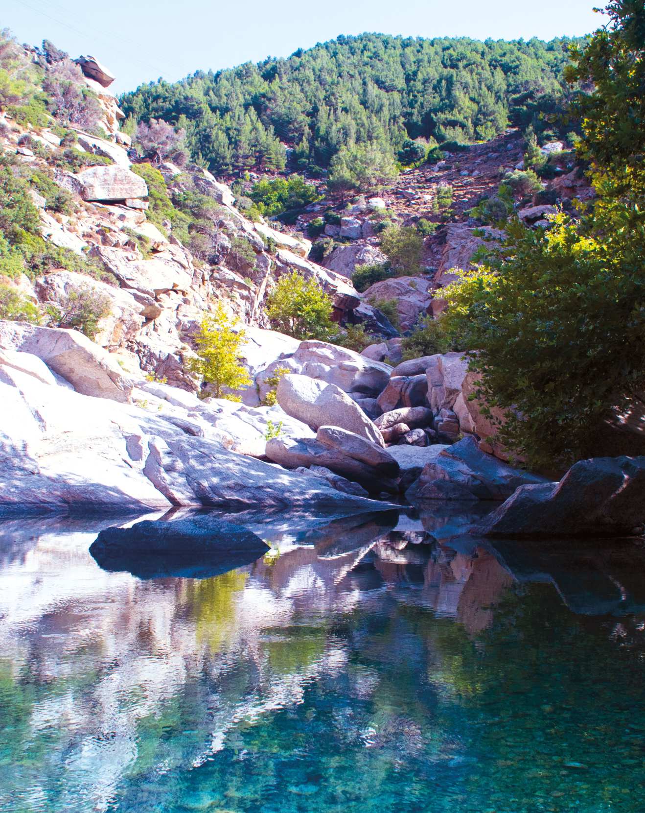
The Chalari gorge, near Nas, has running water, plane trees and small falls, and a path follows it inland.
Mount Atheras is the island's summit, and the walk up gives the whole Aegean.
Villages & Inland
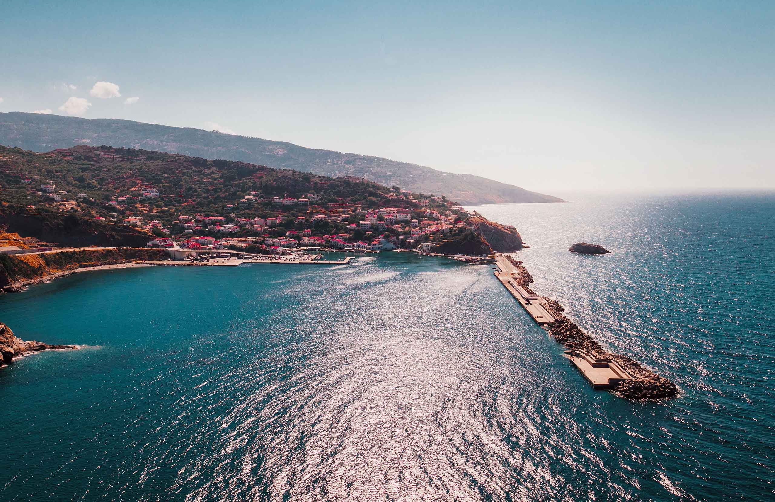
Agios Kirykos, on the southeast coast, is the capital and the main port — quiet, low-key, with neoclassical houses around the harbour.
Evdilos, on the north coast, is the second port and the busier one in summer.
Christos Rahon and the Rahes villages, high in the west, are the island's own place. The shops there famously open in the evening and stay open into the night, because that is when people come down from the fields, and the surrounding oak and pine forest is the densest on the island.
Armenistis is the small resort village on the north coast, and Nas is a handful of buildings above the cove and the temple.

Beaches
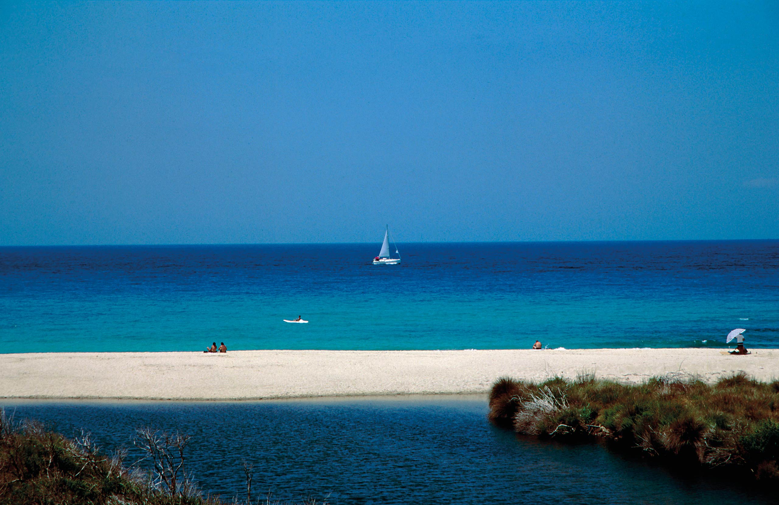
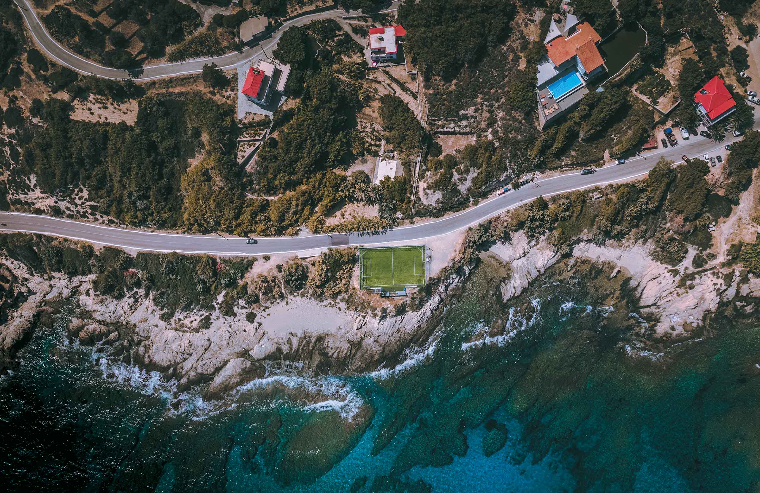
The north coast has the beaches. They are exposed to the open Aegean, which means good water and, on windy days, waves.
Mesakti, below Armenistis, is a long stretch of sand and the busiest on the island. Livadi, next to it, is the same beach in effect and slightly quieter.
Nas is pebble at the mouth of a river, below the temple, with a strong current outside the cove and the island's best sunsets.
Seychelles, on the south coast, is reached down a steep path or by boat: white pebbles between large smooth rocks, in water that is very clear and very deep.
The south coast generally is rockier and more sheltered than the north.


Food & Drink
Ikarian cooking is what the Blue Zone research pointed at: vegetables, pulses, wild greens and olive oil, with meat as an occasional thing rather than a daily one.
Soufiko is the island's dish, a slow-cooked mix of whatever the garden has — courgette, aubergine, pepper, onion, tomato. Kathoura is the fresh goat cheese, eaten young.
The island makes its own wine from old local varieties, and there are wineries around Evdilos and Rahes. Rakomelo, raki heated with honey, is the drink of the festivals and of winter.
Where to Stay
Prices shown per night for a sample 3-night stay. Rates and availability vary by season — select your dates for live pricing.
Practical information
Getting there
Ikaria has a small airport at the eastern tip, with flights from Athens.
Ferries from Piraeus take between six and nine hours depending on the vessel and the route. The island has two ports — Agios Kirykos in the southeast and Evdilos in the north — and they are an hour apart by road, so check which one your boat uses and where you are staying.
There are also connections to Samos, Fourni, Mykonos, Naxos and Paros.
Getting around
A car is close to essential. The island is long, the road crosses a mountain ridge, and buses are infrequent and not built around sightseeing.
Roads are narrow and winding, and the drive between the two ports takes about an hour.
When to go
June and September are the best months for weather and space.
July and August are when the panigiria happen, and they are the reason many Greeks come. If that is what you want, look up which village has its festival on which date before you book.
The springs at Therma work through the year, and the walking is best in spring and autumn.
Good to know
Ikaria keeps its own hours. Shops and tavernas may open late in the afternoon and close very late, and this is not unreliability — it is how the island runs. Plan around it rather than against it.
The radioactive springs are used therapeutically and there are recommended limits on how long to bathe. Ask at the hydrotherapy centre rather than assuming.
The north coast beaches can have strong currents, particularly at Nas, where the sea outside the cove is not safe in a swell.
Book ahead for August. The island is not large and the festivals fill it.
Ikaria Island— been there?Tell others what you saw.
A photo and two lines are enough.
