
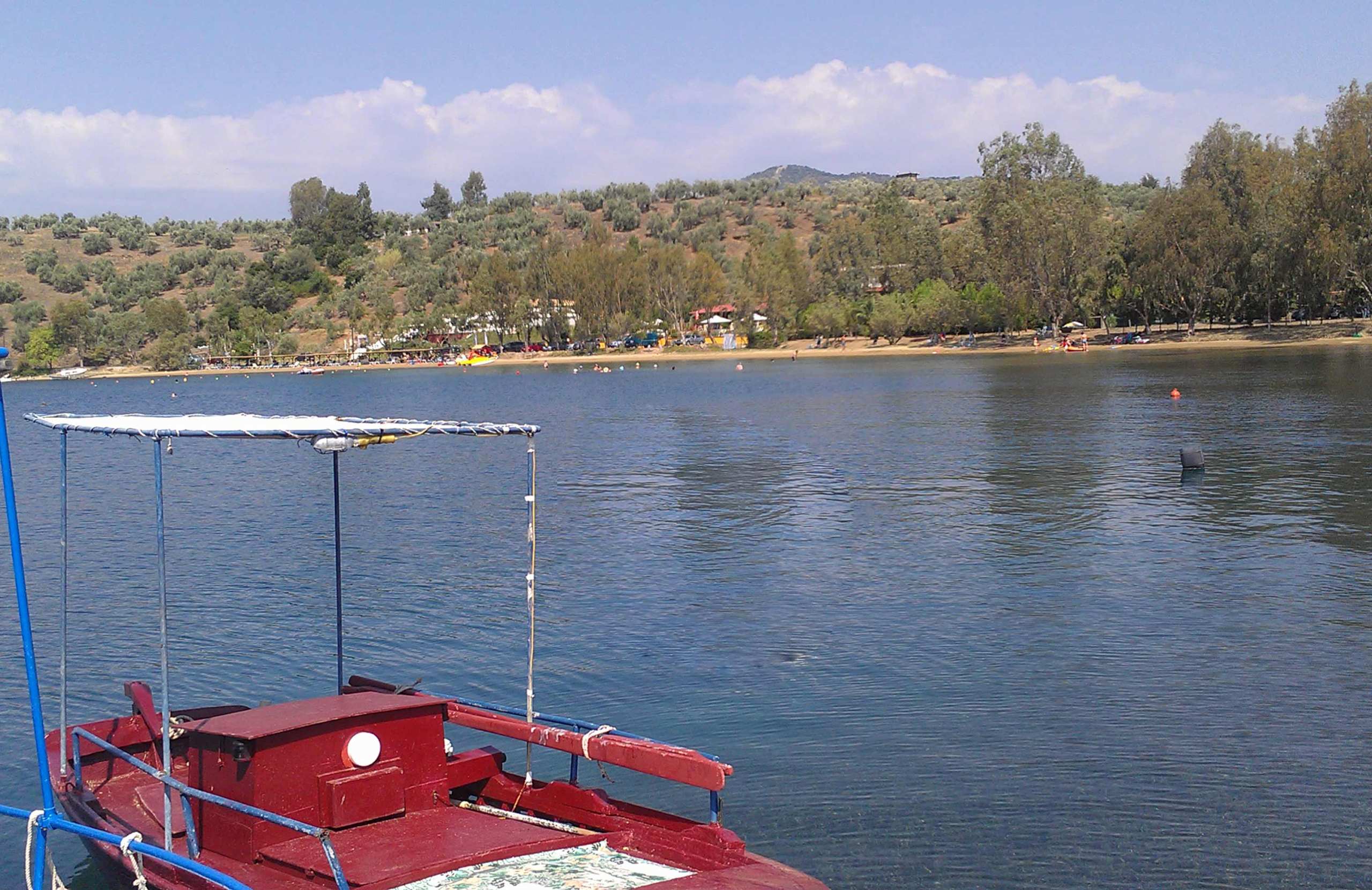
Pigadi is the seaside village of Pteleos, on the southwest corner of the Pagasetic Gulf in Thessaly. It has a small harbour with fishing boats, tavernas along the water and rooms to rent behind them. On the hill just above stand a Venetian tower and the ruins of the medieval town of Pteleos — about 150 stone houses inside a defensive wall. You can walk around them freely, and almost nobody does. The beaches around the bay are sandy and shallow, and the Sporades islands are visible across the water.
What travellers posted


Been here? A photo and two lines are enough.
History & Culture
The Castle of Pteleos stands on a hill three kilometres southeast of the village, between Pigadi and Loutro. From the top you can see the whole entrance to the Pagasetic Gulf.
The main surviving building is a square tower, about eight metres wide and almost ten metres tall. It is built of small dark stones, with a few larger, older blocks at the base that were probably taken from an ancient building. There is no door at ground level: the entrance was placed high up, for safety. Next to the tower is an underground water tank, still in good condition.
Around the tower, the hill is covered with ruins — the defensive wall and the foundations of about 150 stone houses. This was not only a fort. It was the town of Pteleos itself during the Middle Ages. A second tower, called the Alatopyrgos, stands in ruins by the sea below.
Who ruled here
Homer names Pteleos among the towns that sent ships to Troy, and a Byzantine writer praised its wine in the late 12th century.
After 1204 the area changed hands several times: first Boniface of Montferrat, then the Knights Hospitaller, then the Despotate of Epirus and the Greek rulers of Thessaly. In 1319 Catalan mercenaries were advancing, and the people of Pteleos decided to accept Venetian rule rather than be conquered. Venice kept the town for 150 years. It fell to the Ottomans on 15 August 1470, three days after Mehmed II captured Chalkida.


Villages & Inland
Pteleos village is five kilometres inland, on flat ground below Mount Chlomo, part of the Othrys range. It is an ordinary farming village. Its houses are mostly modern, and it has not been listed or restored as a traditional settlement.
Pigadi, on the coast, is where people go in summer. It has a small harbour, fishing boats, tavernas by the water, and bars that stay open late in August.
There are more small settlements around the bay. Loutro and Agia Marina are quieter, with rooms and beach tavernas. Achilleio, at the mouth of the gulf, is the largest after Pigadi: a fishing village with its own harbour and a small island, Argyroniso, just offshore.
Visitors are spread across all these places, so the bay feels emptier than the numbers suggest. This is a Greek summer coast, not an undiscovered one.
Nature & Outdoors
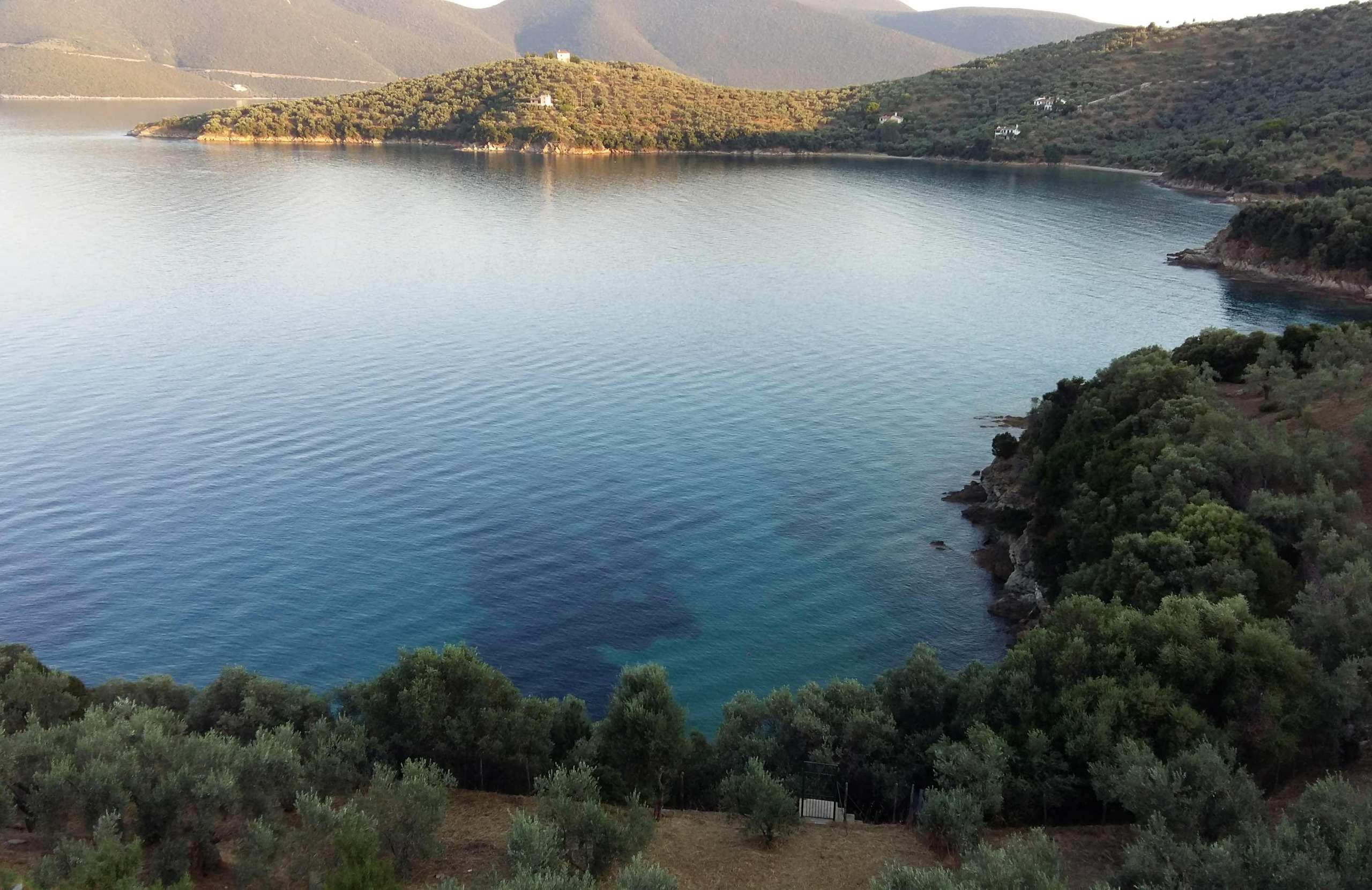
Behind the bay the land rises quickly into Mount Chlomo, part of the Othrys range. The slopes are olive groves and low scrub, not forest.
A marked footpath connects the Mycenaean tombs at Gritsa with the springs and small wetland at Lichoura, at the head of the bay. It crosses the hill and takes a little over an hour. You can start from either end.
The tombs are the reason the path exists. Four small round tombs were excavated here in the early 1950s. They were in use between about 1400 and 1100 BC. Inside, archaeologists found weapons, seal-stones, gold and carnelian jewellery, and pottery from the northwest Peloponnese. These finds show that this coast traded widely and was not an isolated place.
Do not expect an organised site. The finds are now in the museum at Volos, and the tombs themselves are not looked after.
Beaches
The beaches are the main reason people come. Most are sandy, and the water stays shallow a long way out, which makes them safe for young children. Several have been awarded the Blue Flag.
The two largest, Agia Marina and Lefki, run into each other. These are the organised beaches, with sunbeds, umbrellas and places to eat and drink.
Panagia and Rodia are the closest to Pigadi, and you can walk to them.
Further round the bay there is a line of small coves: Pachia Ammos, Karavotsaki, Draka, Kotsikia and Briniotissa. Most are reached by dirt road, and have no facilities at all. At Lichoura, at the head of the bay, a beach, the wetland and the archaeological area are all within a few hundred metres.
Where to Stay
Prices shown per night for a sample 3-night stay. Rates and availability vary by season — select your dates for live pricing.
Practical information
Getting there
You can only reach Pigadi by road, or by private boat. It is on the southwest corner of the Pagasetic Gulf, about one hour by car from Volos and about 35 km from Nea Anchialos airport, close to the main Athens–Thessaloniki motorway. The coast road from Achilleio is the more attractive way in. There is no ferry to this bay. The Sporades are visible across the water, but boats to them leave from Volos and Agios Konstantinos.
Getting around
You will need a car. Pteleos village is 5 km from Pigadi, the settlements around the bay are several kilometres apart, and most of the small coves are reached by dirt road. To find the castle, look for the hand-painted sign ΚΑΣΤΡΟ as you leave Pigadi towards Loutro. From there a rough track climbs through olive groves. There is no ticket and no gate.
When to go
The season is June to September. August is the busiest and the liveliest month, when Greek families fill the bay. June and early September have the same sea and far fewer people. Spring and autumn are better for the castle and the Gritsa path, because the walking is comfortable and the hills are green — but most tourist businesses are closed then.
Good to know
The track to the castle is rough and unpaved. An ordinary car can manage it in dry weather, but not after rain. There is no shade, no water and no staff at the site. The ruins are open and unfenced, so take care where you walk: there are low walls everywhere and an open water tank. The Mycenaean tombs at Gritsa are not maintained. Beaches other than Agia Marina and Lefki have no facilities — bring your own shade and water.
Pigadi of Pteleos— been there?Tell others what you saw.
A photo and two lines are enough.
