Mount Ida (Psiloritis Massif)

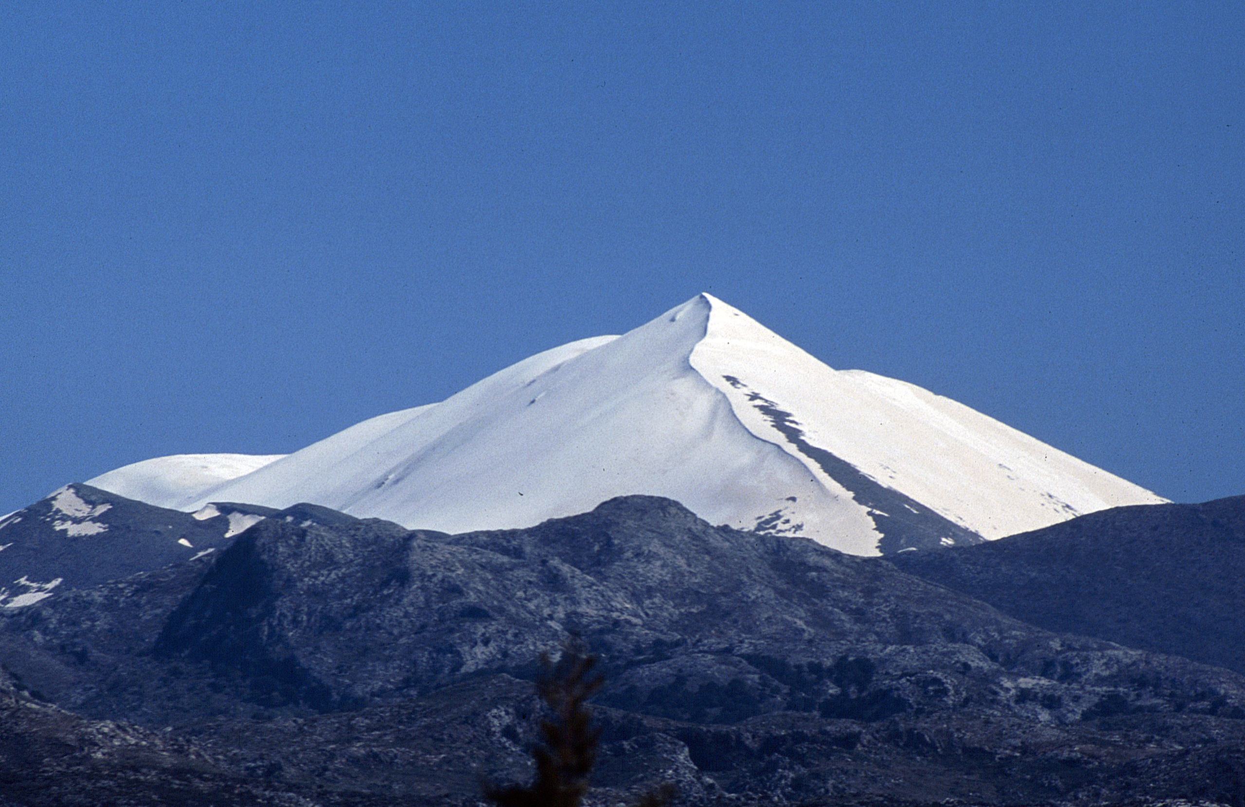
Mount Ida, known in Crete as Psiloritis, is the highest mountain of Crete. Its summit reaches 2,456 metres and stands in the middle of the island, between Rethymno and Heraklion. Most visitors drive up from Anogeia, a mountain village on the north side, to the Nida plateau, at about 1,400 metres. From the plateau a short path leads to the Idaion Cave, where Zeus was raised according to Greek myth, and a long one leads to the summit. On the south side, the Rouvas gorge and its oak forest are reached from the village of Zaros. The mountain is part of the Psiloritis UNESCO Global Geopark. The summit routes have no shade and little water, and snow stays on the high ground into early summer.
Geography
Mount Ida, which Cretans call Psiloritis, stands in the middle of Crete, between the White Mountains to the west and Mount Dikti to the east. Its summit, Timios Stavros, reaches 2,456 metres and is the highest point of the island. The mountain lies in the regional units of Rethymno and Heraklion. To the south it drops to the Messara plain, and to the west to the Amari valley.
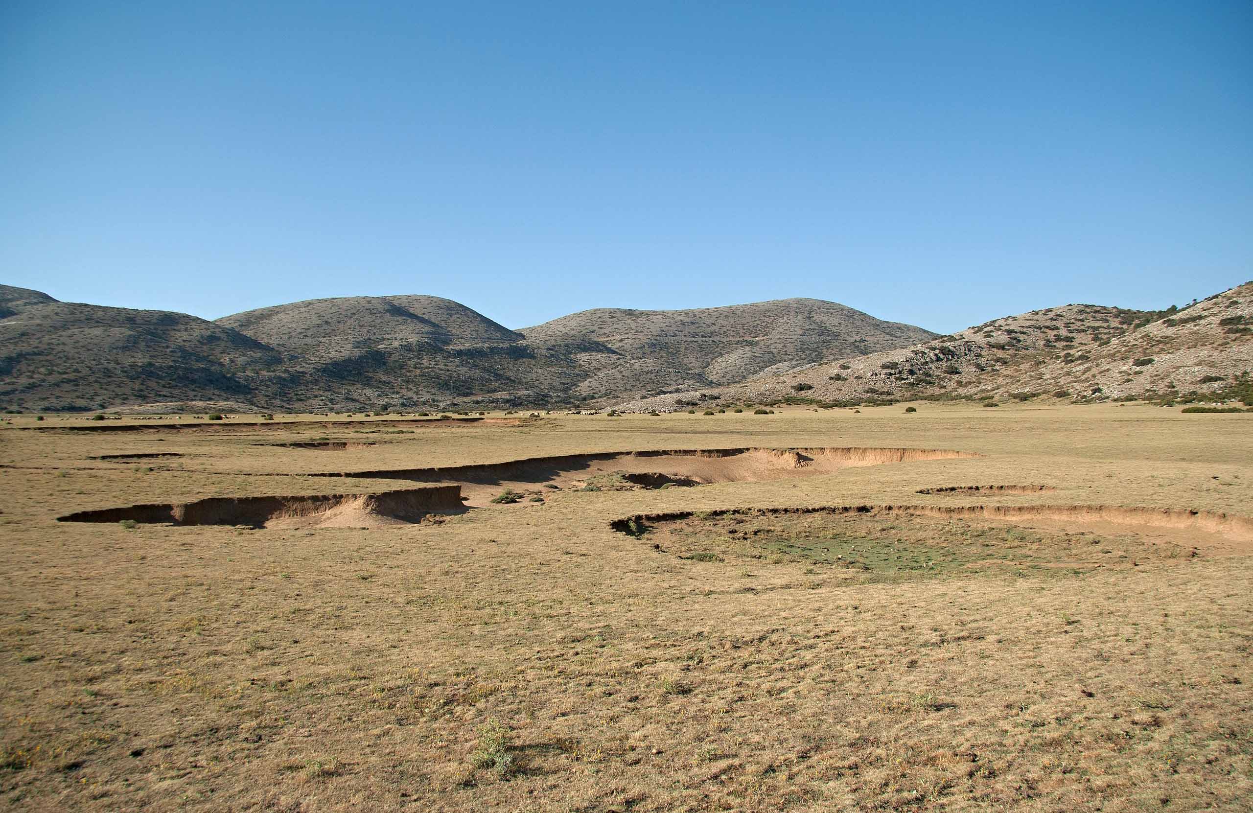
The rock is mostly limestone, and water has cut caves and gorges into it. On the east side, at about 1,400 metres, lies the Nida plateau, a flat grazing ground closed in by peaks. The whole mountain and its foothills form the Psiloritis UNESCO Global Geopark, an area of about 1,160 square kilometres that has been a geopark since 2001. Its rocks include fossils of sea animals and large folds that can be seen on the slopes.
Activities
The main activity on Psiloritis is the walk to the summit. The shortest route starts at Lakkos Migerou, at about 1,700 metres on the north side, where a paved road ends at a small refuge. A well-marked path of about 3 kilometres climbs 750 metres to the top. The route from the Nida plateau, on the east side, follows the E4 European long-distance path. It takes about four and a half hours up, and parts of the path are hard to see. A third route starts on the west side, at the refuge of Toumbotos Prinos, and takes about three hours.
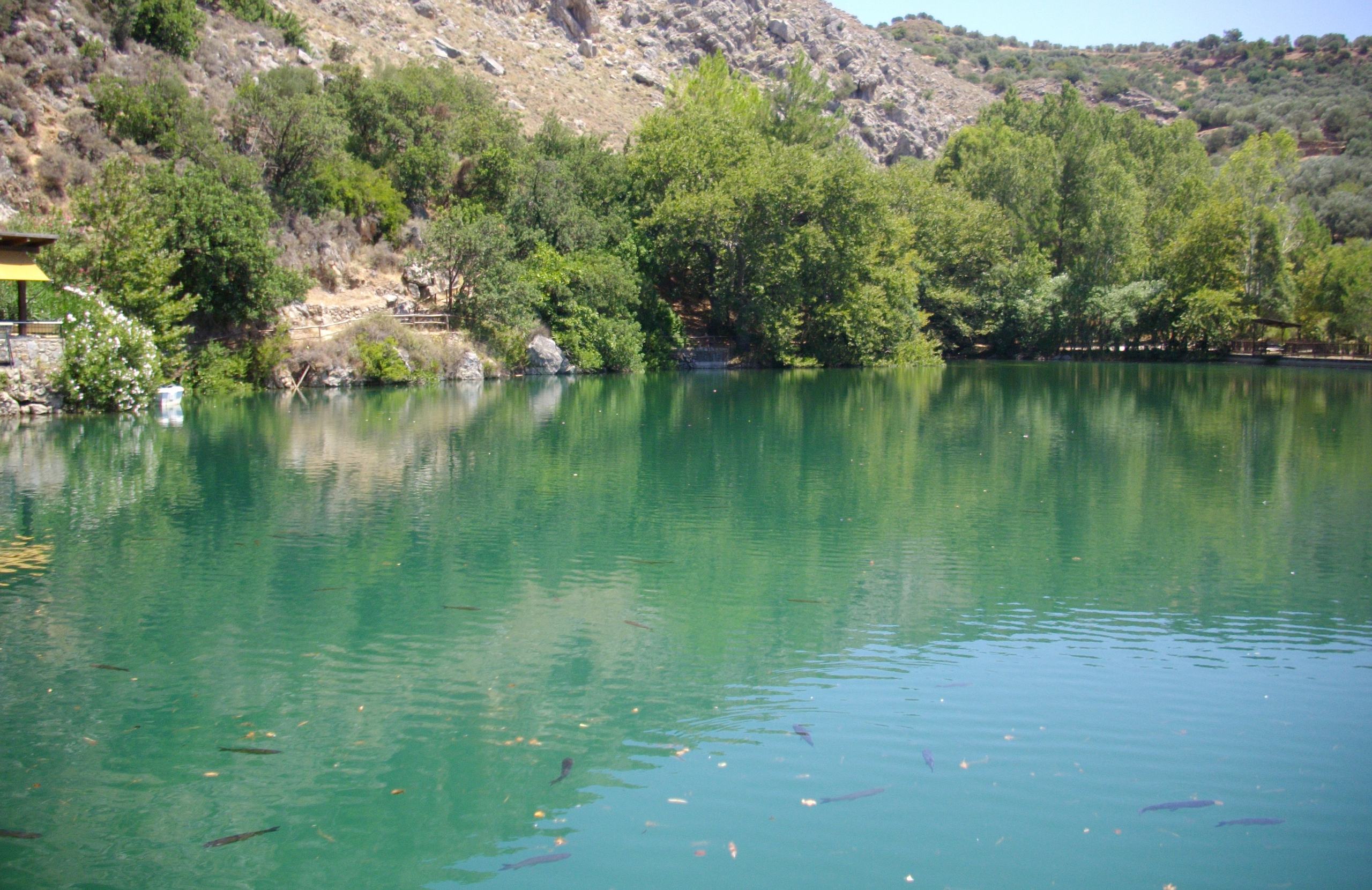
On the south side, an easier walk goes through the Rouvas gorge. It starts near the lake of Zaros, a village at the foot of the mountain, and its made path is about 2.7 kilometres long. From the village of Kamares, a steep path of about three and a half hours climbs to the Kamares cave.
History & Culture
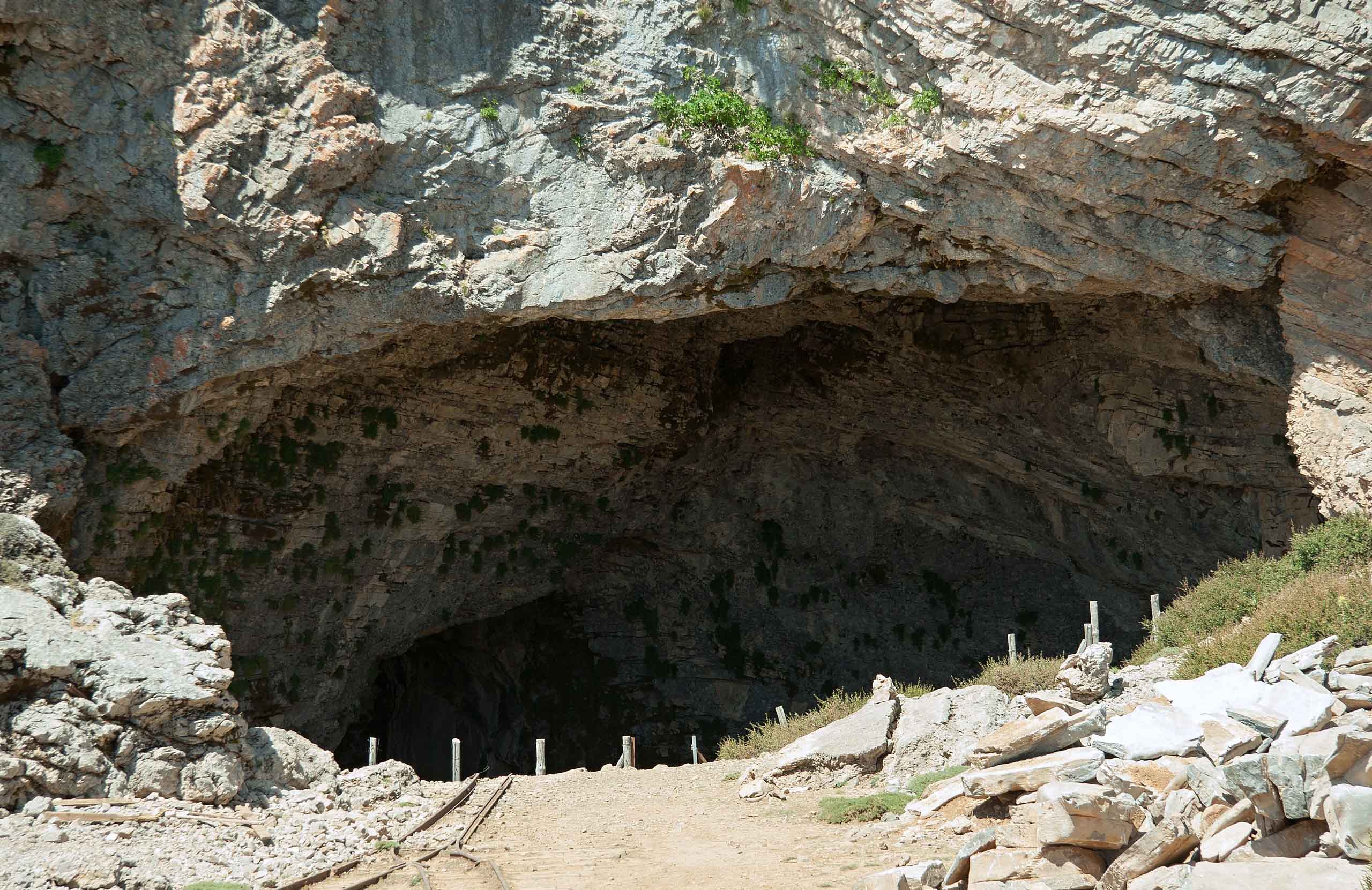
The Idaion Cave, also called the Cave of Zeus, opens at about 1,500 metres above the Nida plateau, on the east side of the mountain. In Greek myth, the infant Zeus was hidden and raised here. It was one of the main holy caves of ancient Crete, and people left offerings in it for many centuries. Visitors see the wide entrance and an altar cut from the rock in front of it. The offerings found here, among them bronze shields and objects of ivory and gold, are shown in the Archaeological Museum of Heraklion.
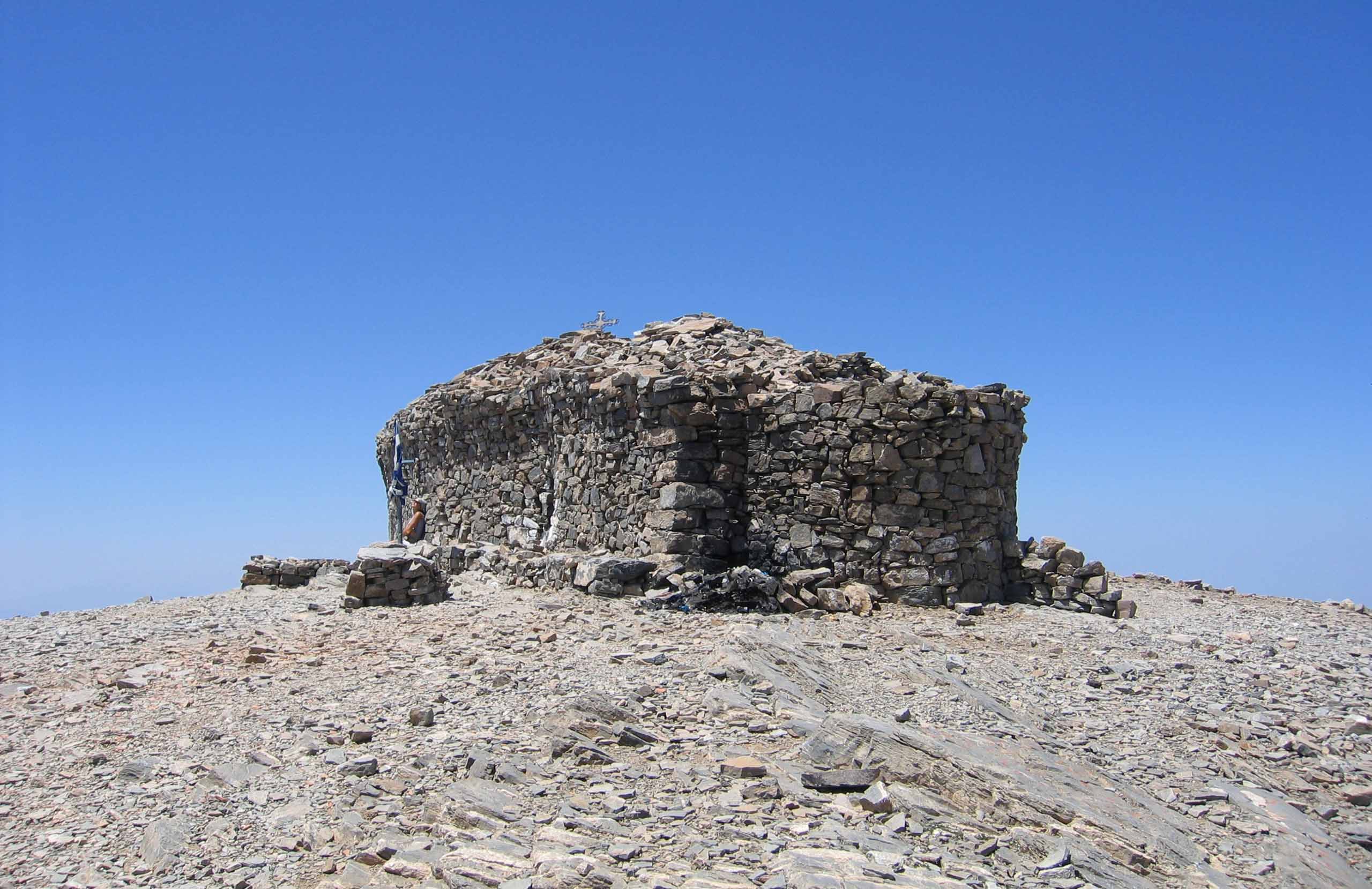
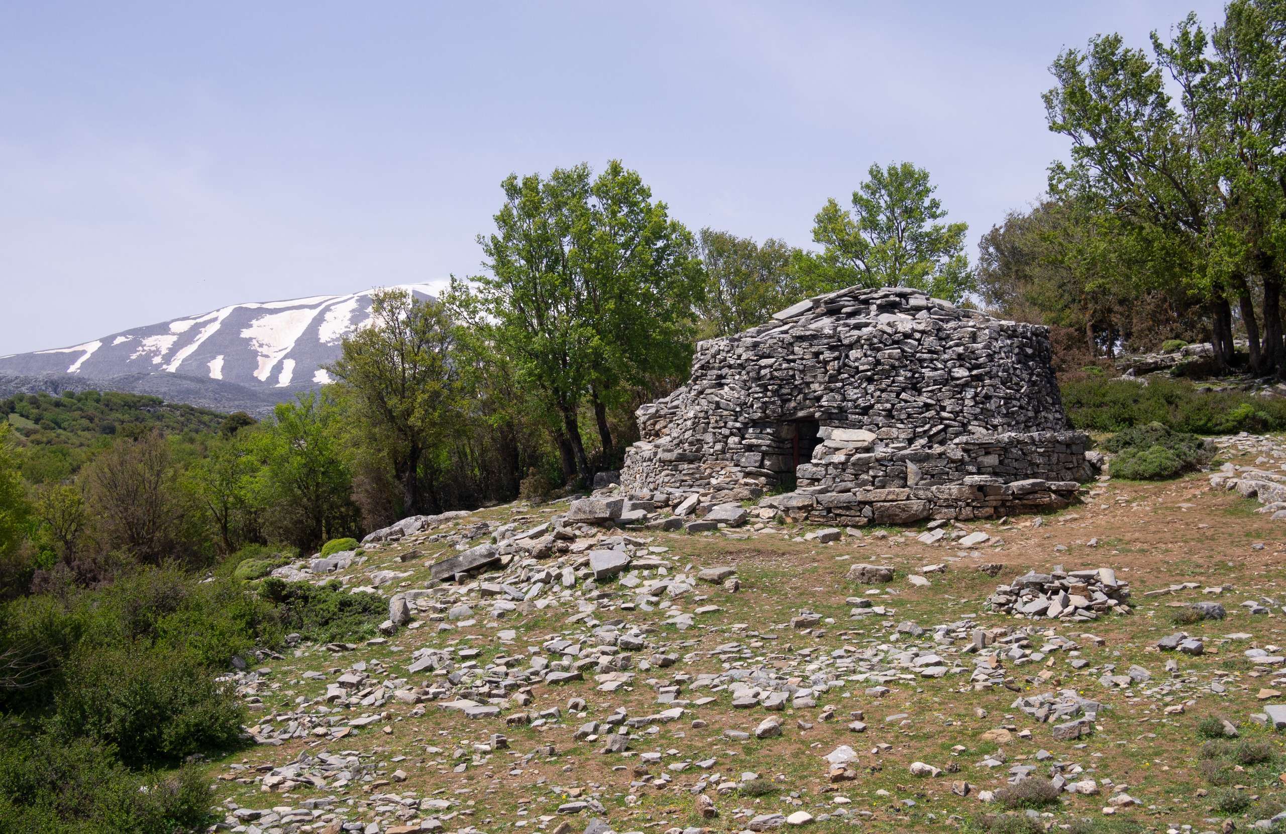
The Kamares cave, at about 1,700 metres on the south side, gave its name to Kamares ware, a fine painted Minoan pottery from about 2000 BC that was first found in it. On the high pastures stand mitata, the stone huts of the shepherds. The small chapel of Timios Stavros on the summit is built of stone without mortar.
Nature & Outdoors
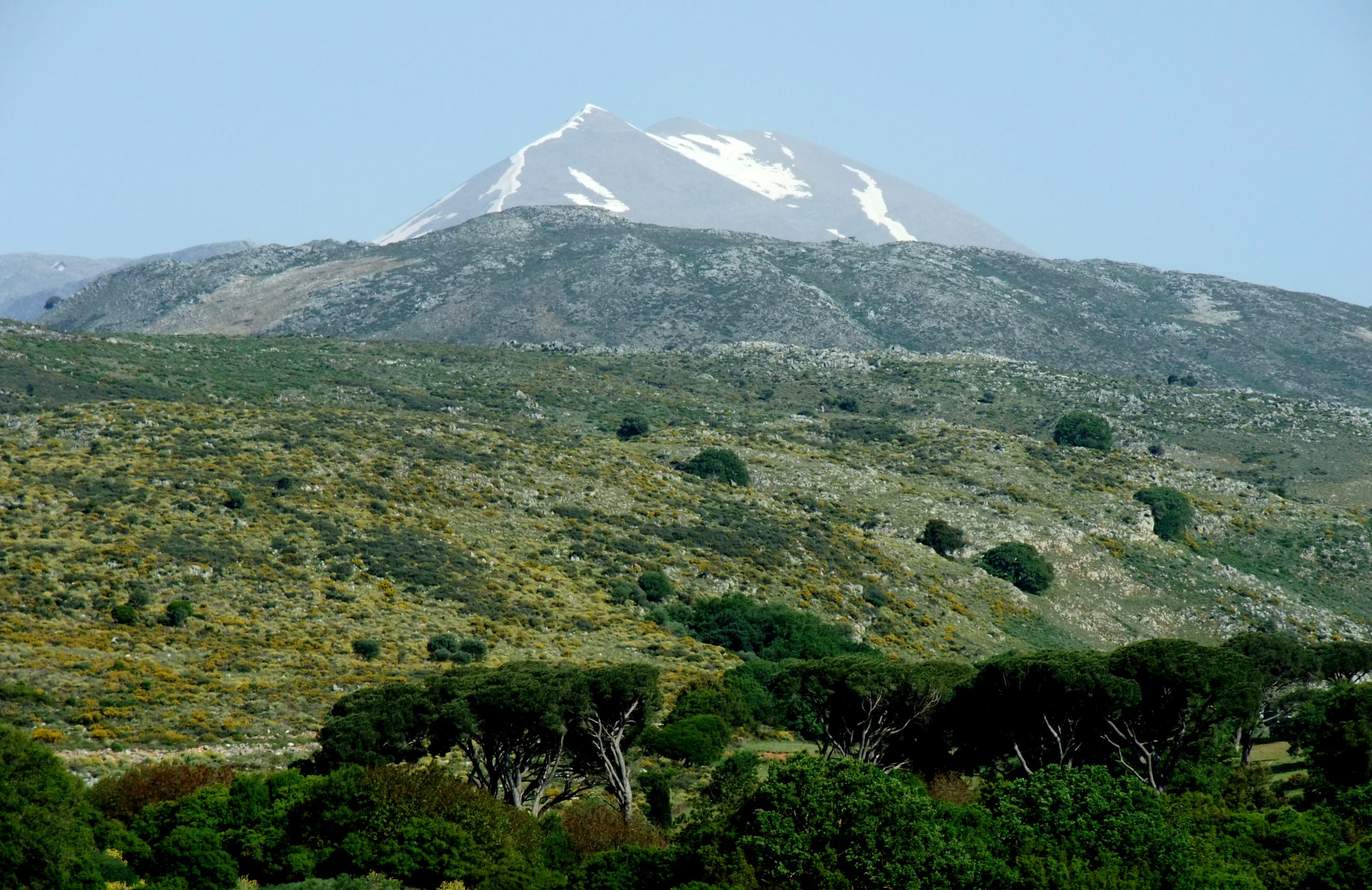
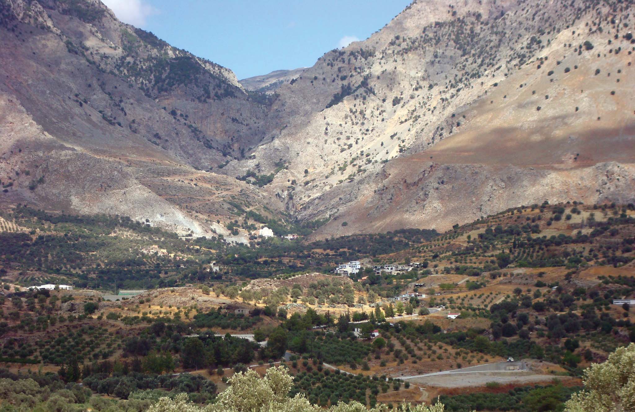
The forest of Rouvas, on the south side above the village of Zaros, is made of old kermes oaks. Some of these trees are 15 metres tall, with trunks more than a metre thick. Cypress, pine and plane trees grow with them. A fire in 1994 burned part of the forest near its southern entrance. The picnic area of Agios Ioannis, inside the forest, has spring water and is reached by car from the village of Gergeri.
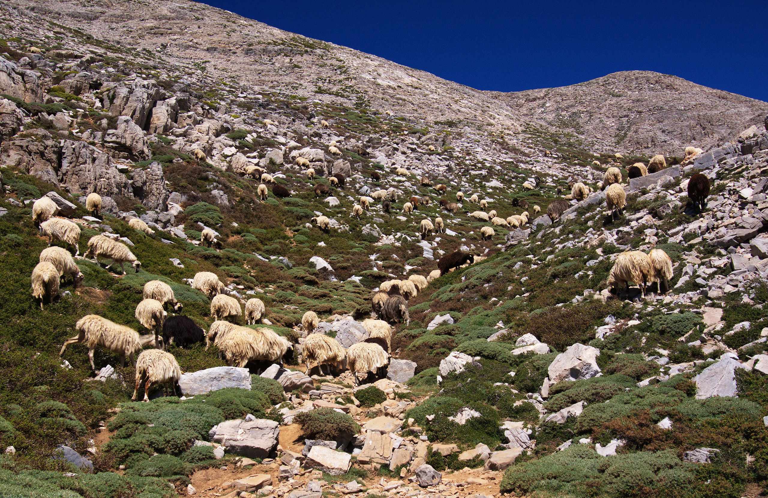
Above the trees the mountain is bare rock and low bushes, grazed by sheep and goats. Griffon vultures nest in colonies on the cliffs, mainly on the side of the Amari valley, and the rare bearded vulture also lives here. The Cretan wildcat survives on the mountain, but it is almost never seen. The Cretan wild goat was hunted out on Psiloritis in the 20th century.
Practical information
Getting there
The mountain is approached from three sides. On the north side, Anogeia is a village at about 750 metres, about 40 kilometres from Heraklion. From Anogeia a paved road of about 20 kilometres climbs to the Nida plateau and the Idaion Cave. On the south side, the villages of Zaros and Kamares are the starting points for the Rouvas gorge and the Kamares cave. On the west side, the villages of Fourfouras and Kouroutes, in the Amari valley, lead to the refuge of Toumbotos Prinos.
When to go
Spring to autumn is the season for the summit. Snow stays on the high ground into early summer, and with snow and ice one part of the route from the Nida plateau becomes dangerous. In winter, snow may close the road to the plateau. In summer, start early in the day. Above about 2,300 metres the wind is strong and cold even on hot days, so carry a wind jacket. The Rouvas gorge has waterfalls in spring.
Good to know
The summit routes have no shade and almost no water, so carry all the water you need. The refuges are small. The one at Lakkos Migerou has six beds and is run by a local association, so contact the people who run a refuge before you plan a night there. The Idaion Cave is open to visitors, but check the hours before you drive up. The Skinakas Observatory, on a side peak at 1,750 metres, holds a few open evenings each summer, and their place and dates change.
Getting around
The starting points are on different sides of the mountain. A walk that crosses the mountain needs transport arranged at the other end. A paved road reaches the refuge at Lakkos Migerou, where the shortest summit path begins. A dirt road of about 12 kilometres leads from the village of Kouroutes to the refuge of Toumbotos Prinos. The E4 path links Anogeia, the Nida plateau, the summit and the south side, but some of its sections are faint, so carry a map or a recorded track.
Mount Ida (Psiloritis Massif)— been there?Tell others what you saw.
A photo and two lines are enough.
