The regional unit of Chania covers the whole western end of Crete, and it is the most dramatic part of the island.

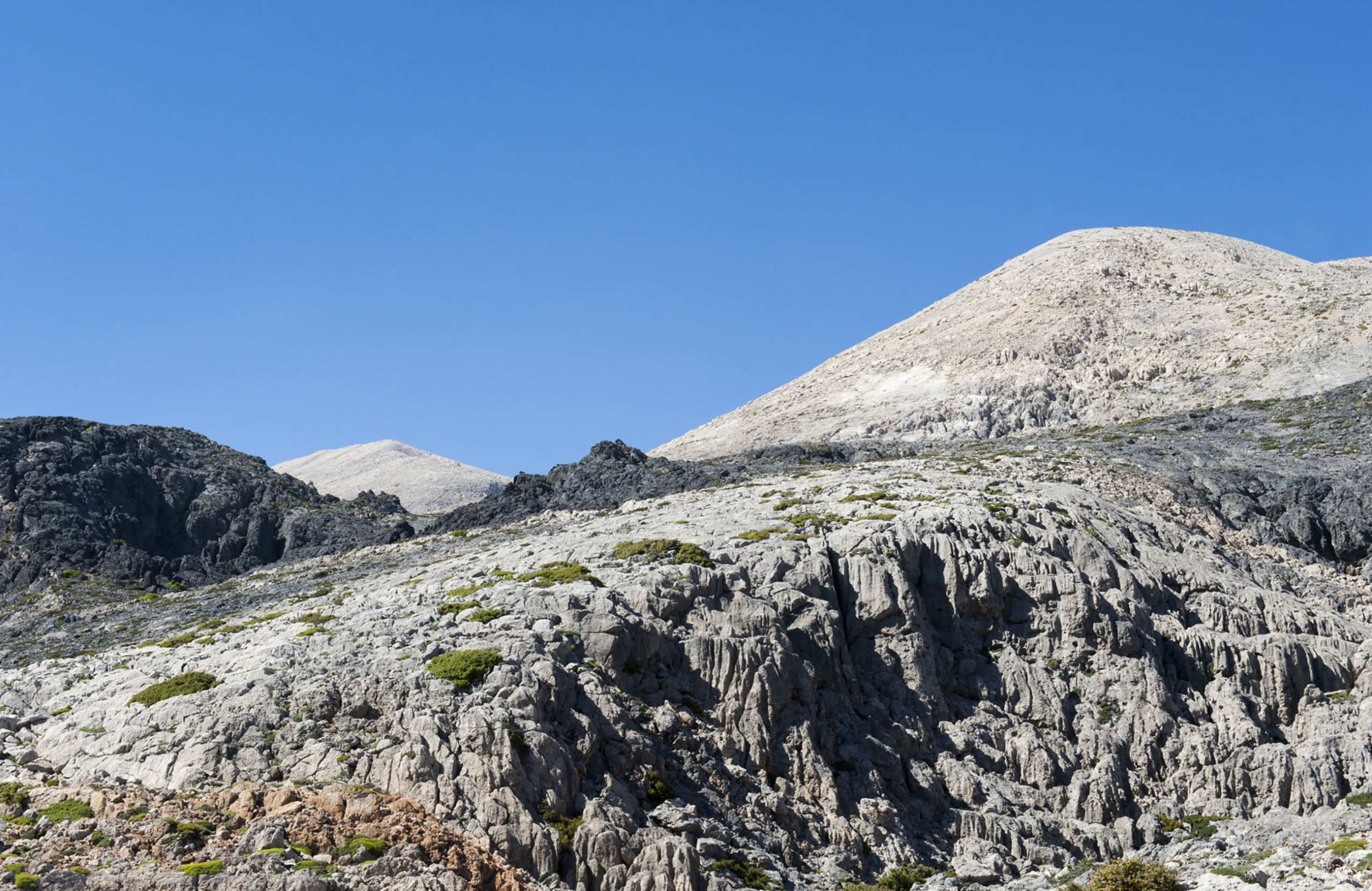
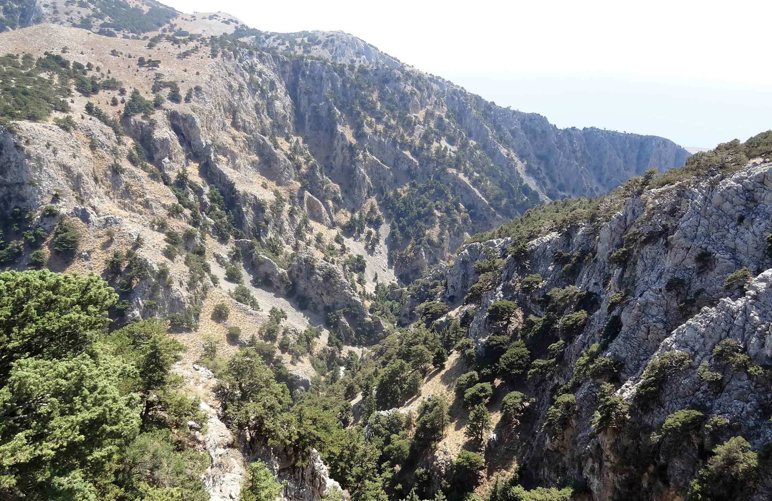
The White Mountains run through the middle of it and reach nearly two and a half thousand metres. More than fifty gorges cut down from them to the Libyan Sea, and one of those gorges — Samaria — is the reason a large number of people come to Crete at all.

The north coast has the beaches and the resorts. The south coast has villages that no road reaches. And forty-eight kilometres out into the Libyan Sea lies Gavdos, the southernmost point of Europe.

The city itself is covered separately in Chania.

TIP: Drag and drop "Pegman" onto zoomed map for a 360o photo view !

Nature & Outdoors

The Samaria Gorge

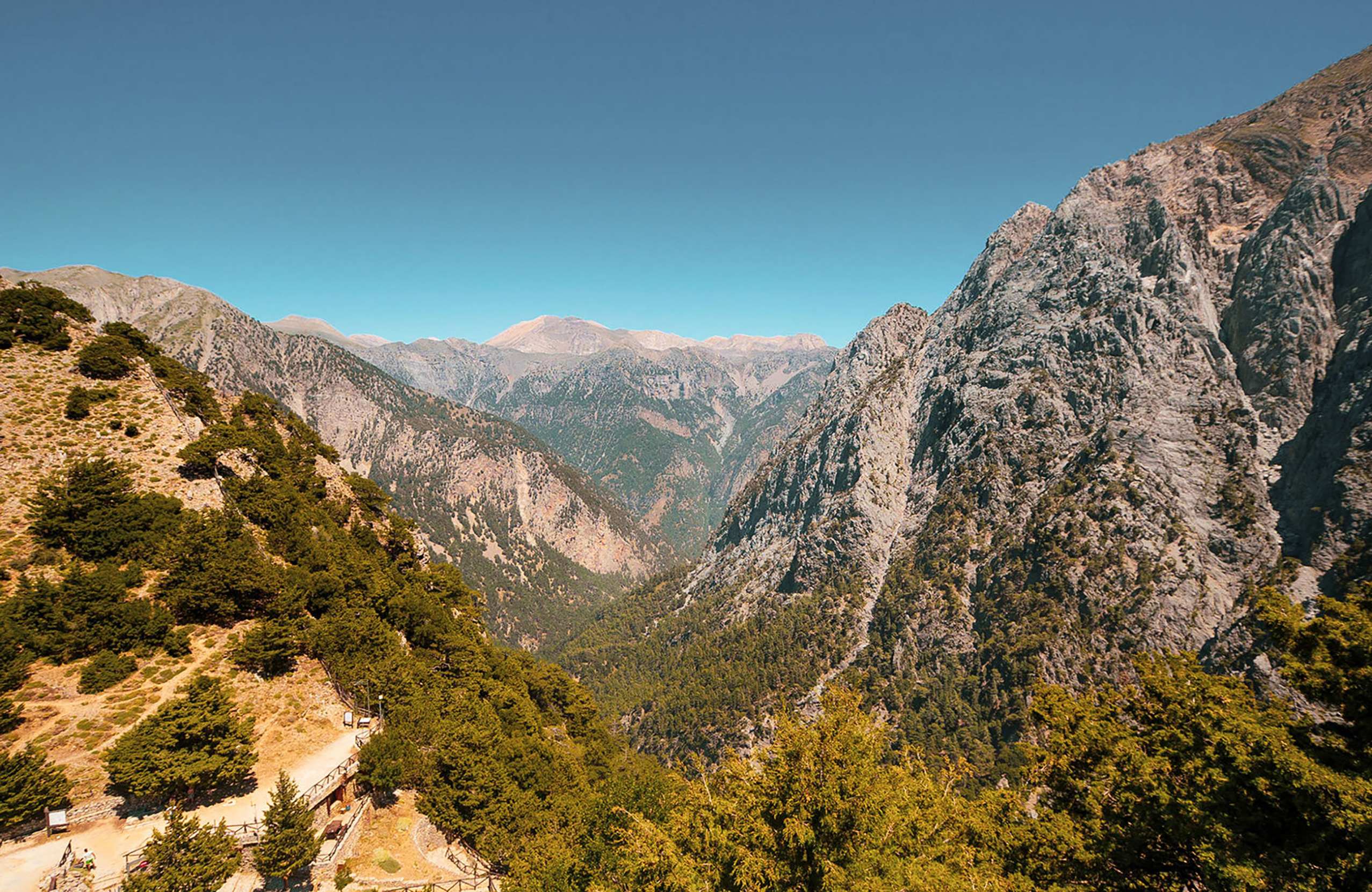
Samaria has been a national park since 1962 and is a UNESCO biosphere reserve. It is also part of the E4 long-distance path.

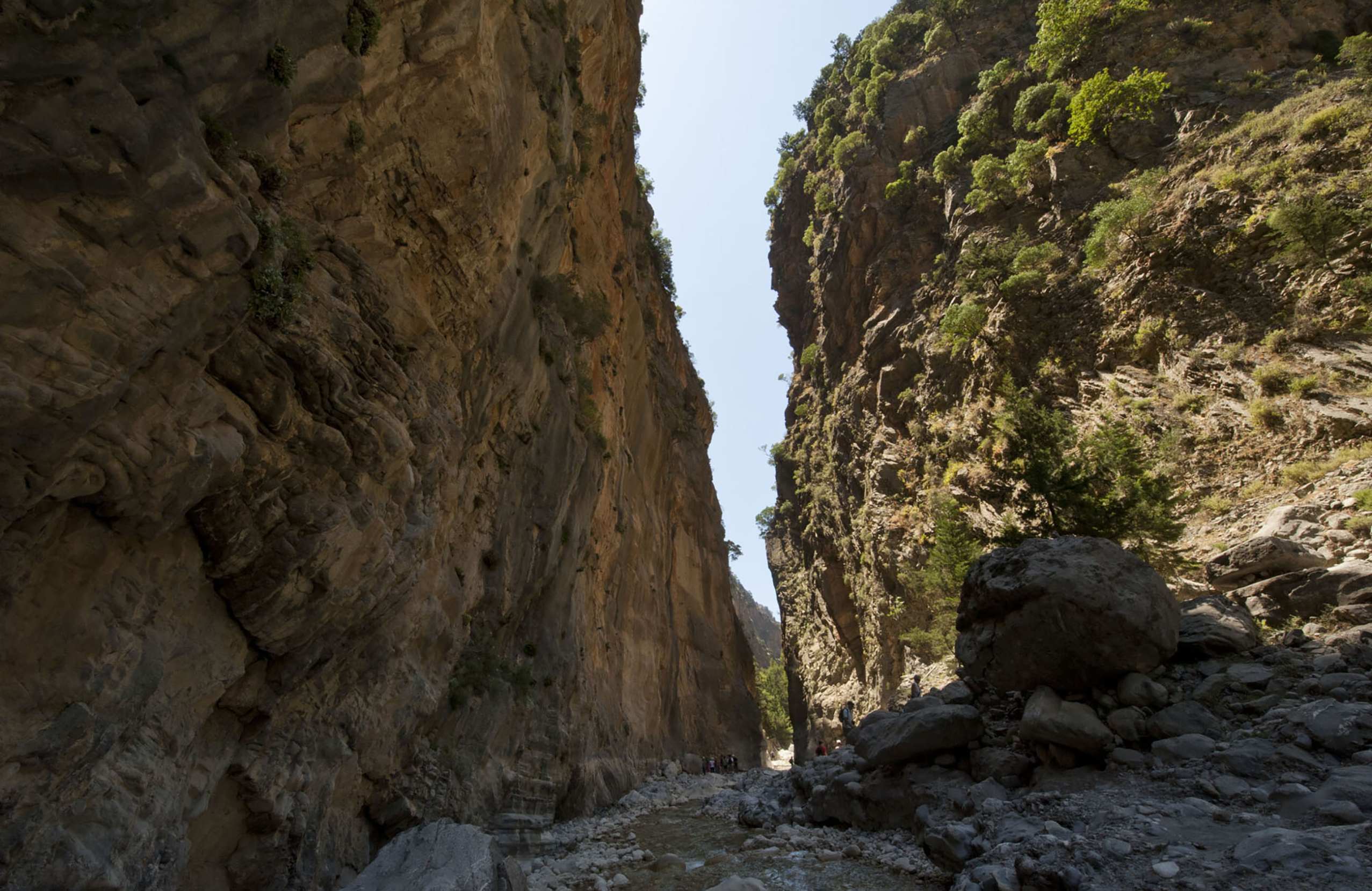
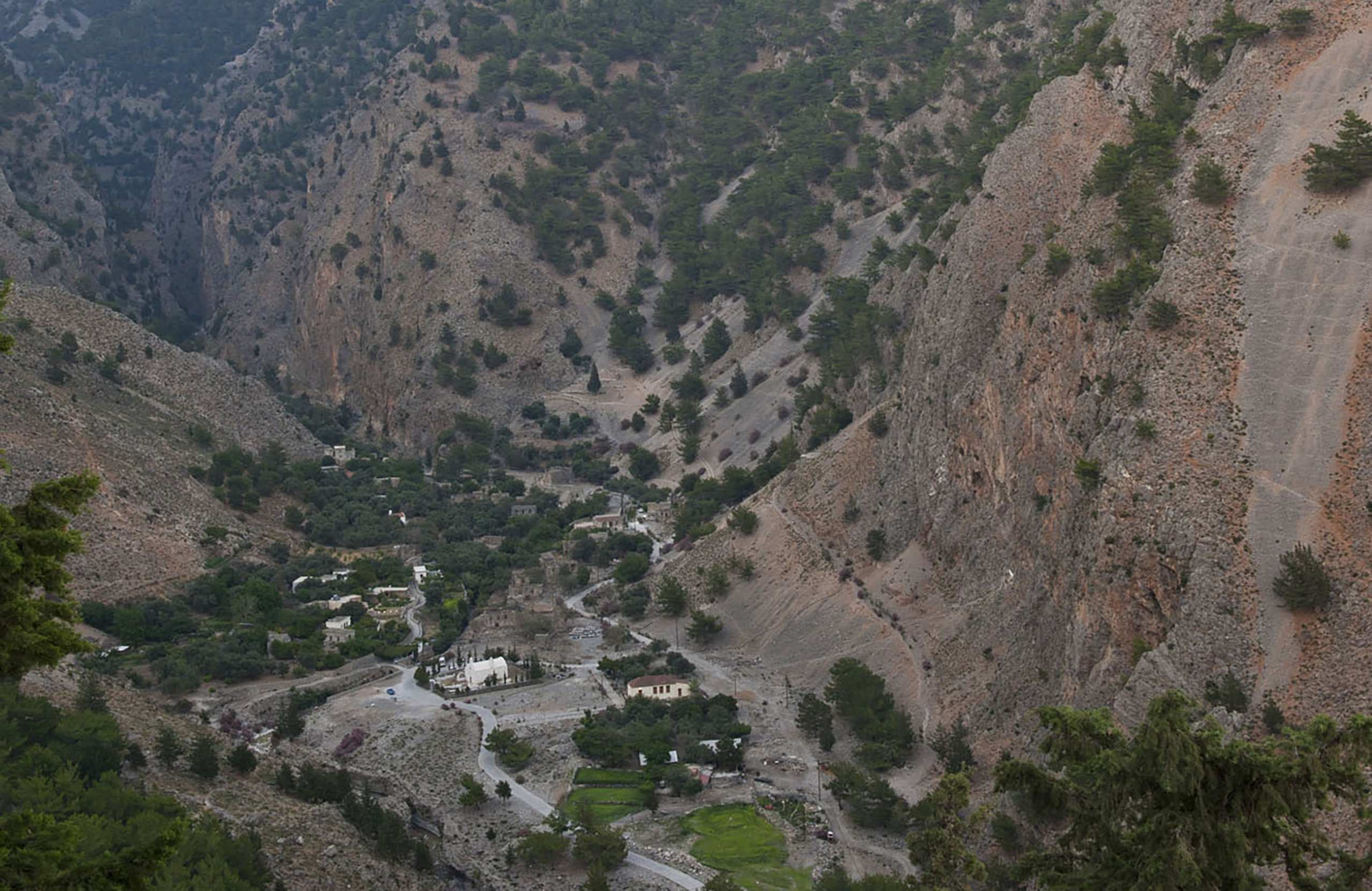
The walk starts at Xyloskalo, on the Omalos plateau at about 1,250 metres, and drops steeply through pine and cypress. After roughly three hours you reach the abandoned village of Samaria, emptied when the park was created. An hour further on come the Iron Gates, where the walls close to about four metres apart and rise five hundred metres above your head.

The gorge itself is around thirteen kilometres. Adding the walk out to the beach at Agia Roumeli makes the day about sixteen, and it takes most people five to seven hours.

The park exists partly to protect the kri-kri, the Cretan wild goat, and you may see one on the cliffs.

The other gorges

Samaria is the famous one, but there are more than fifty.

Imbros is the practical alternative: eight kilometres, much gentler, open when Samaria is shut, and it ends near Chora Sfakion.

Agia Eirini runs seven and a half kilometres down to Sougia through forest. A thousand women and children escaped through it from Ottoman troops in 1866.

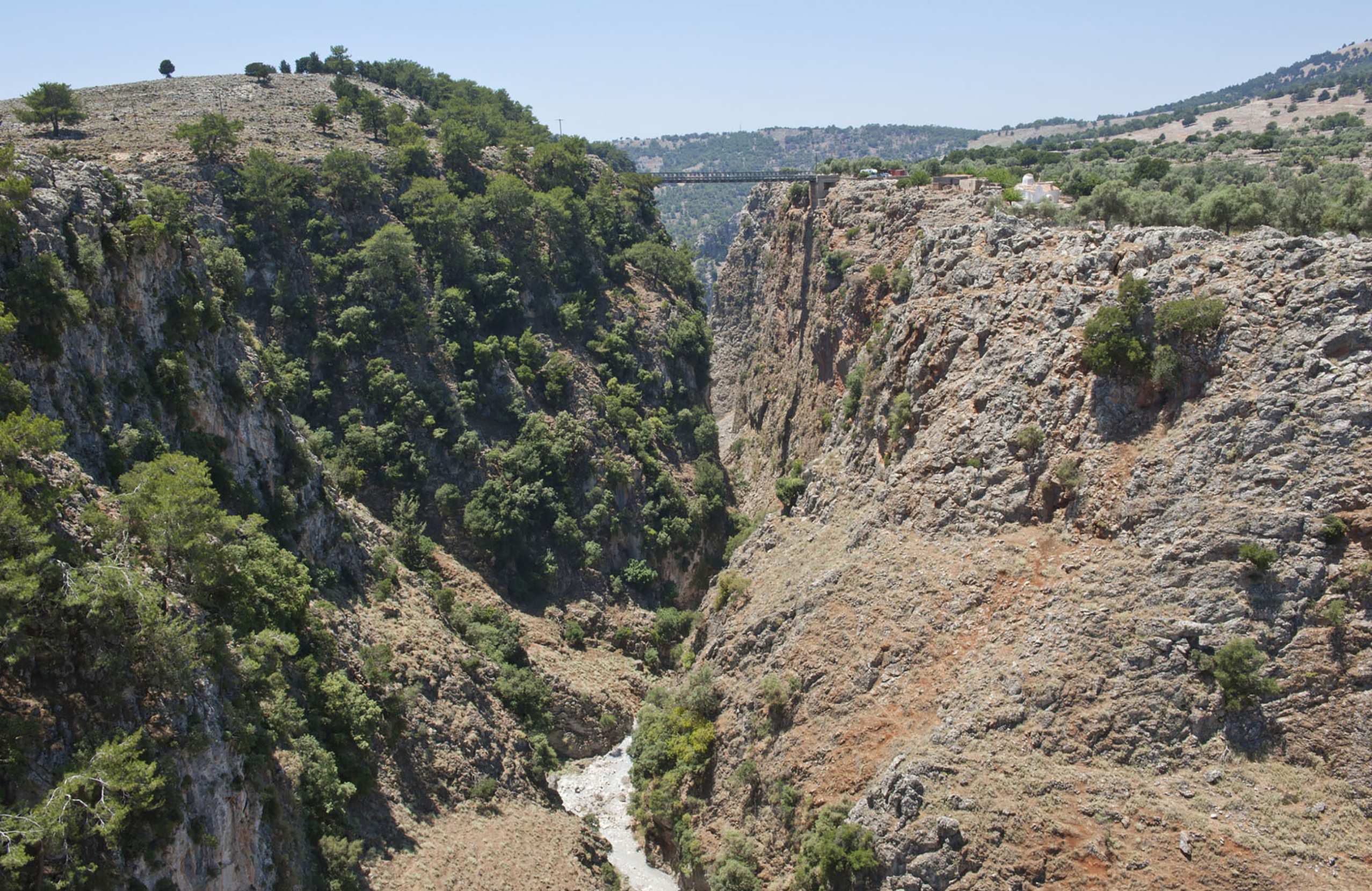
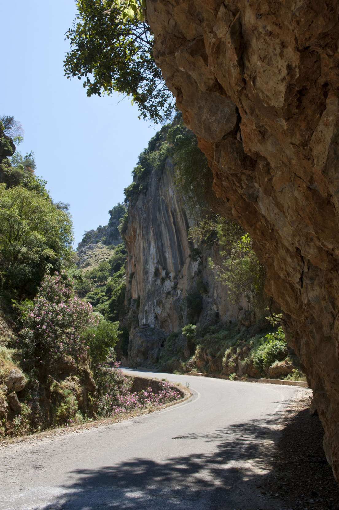
Aradaina is crossed by a metal bridge high above the floor, and Therisso is a short gorge with a road running through it, ten minutes from Chania.

Gavdos

Twenty-six nautical miles south of Chora Sfakion, Gavdos is the southernmost inhabited point in Europe. It covers about thirty square kilometres and fewer than two hundred people live there through the winter.

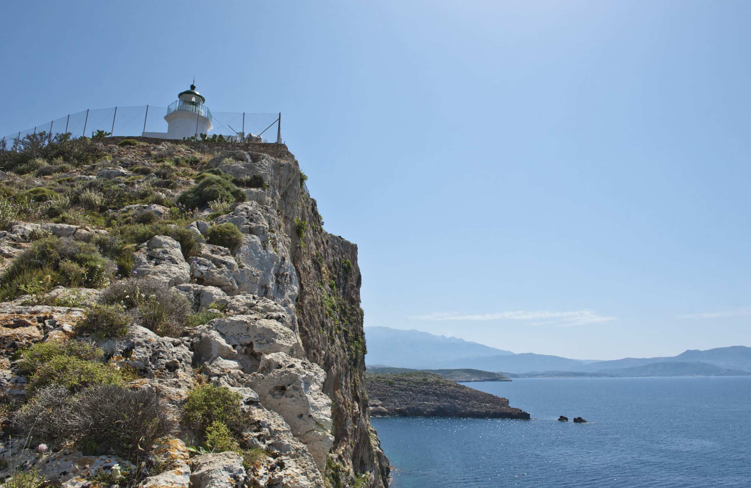
There is one port, Karave, a capital of a few houses called Kastri, and a lighthouse of 1880. At Trypiti, at the southern tip, someone has set an enormous wooden chair on a rock to mark the end of the continent.

In summer the population rises into the thousands, most of them camping on the beaches. Ancient writers connected the island with Ogygia, where Calypso kept Odysseus. In the 1930s it was used to exile political prisoners.
History & Culture

Ancient cities

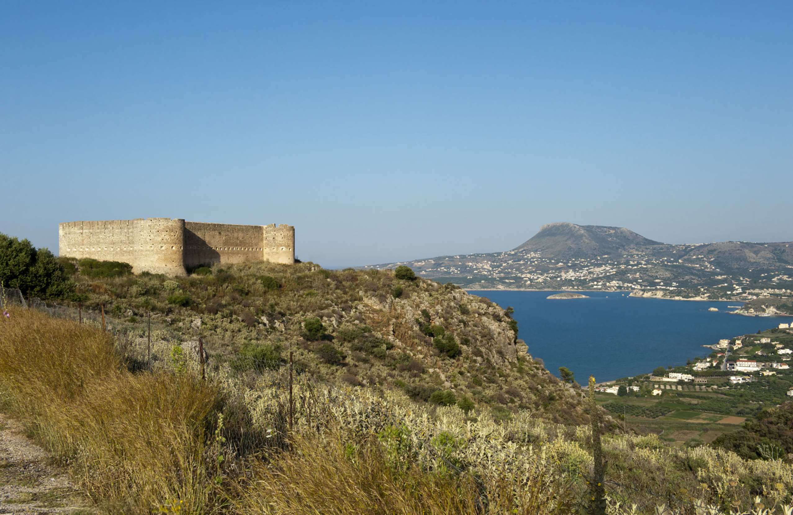
Aptera, twelve kilometres east of Chania, is the largest ancient site in the region. It was a city of some importance from the Classical period into Byzantine times, and what survives is unusually varied: Roman cisterns with vaulted roofs, a small theatre, a temple, and a Turkish fort on top of it all, looking down over Souda Bay.

Falassarna, in the far west, was a harbour town whose port is now stranded inland — the whole western end of Crete tilted upwards in an earthquake of the fourth century AD, lifting the harbour several metres above the sea. The stone quays are still there in a field.

Polyrrinia, above Kissamos, sits on a hill with walls, tombs and a church built from ancient blocks.

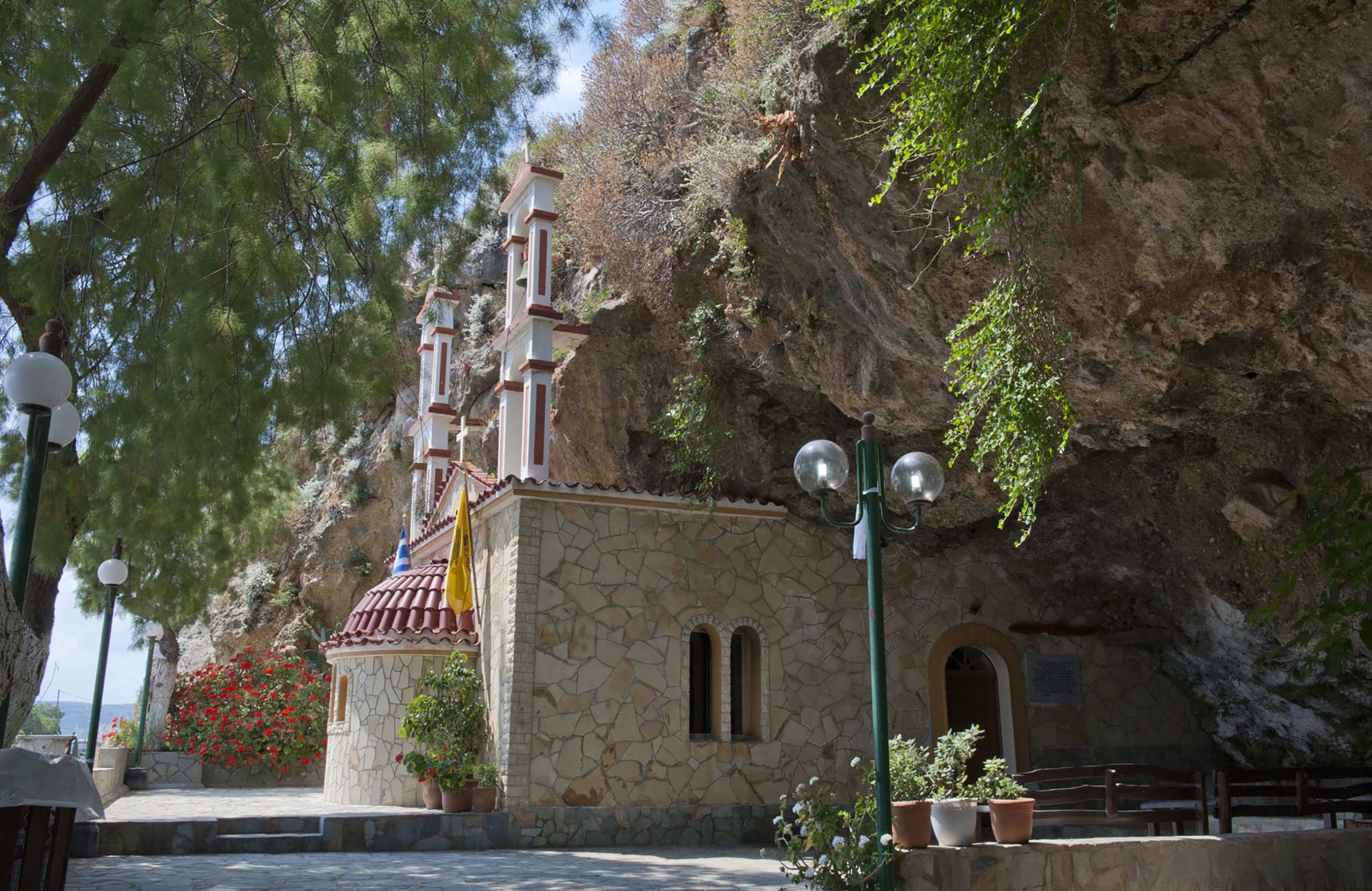
The monasteries of Akrotiri

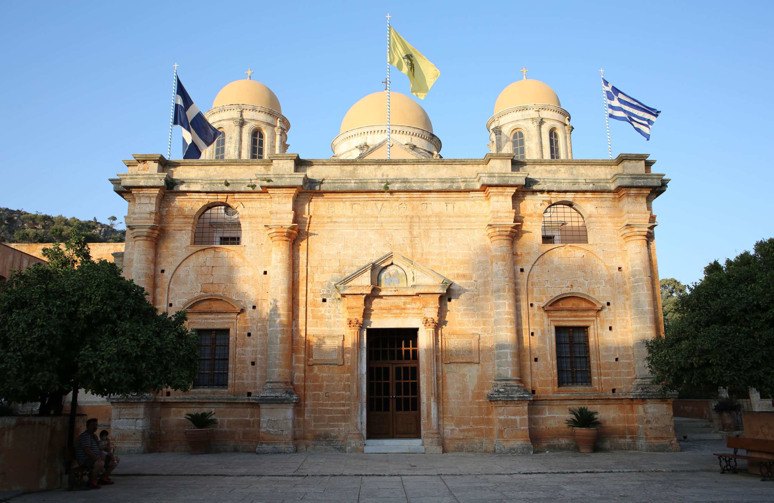
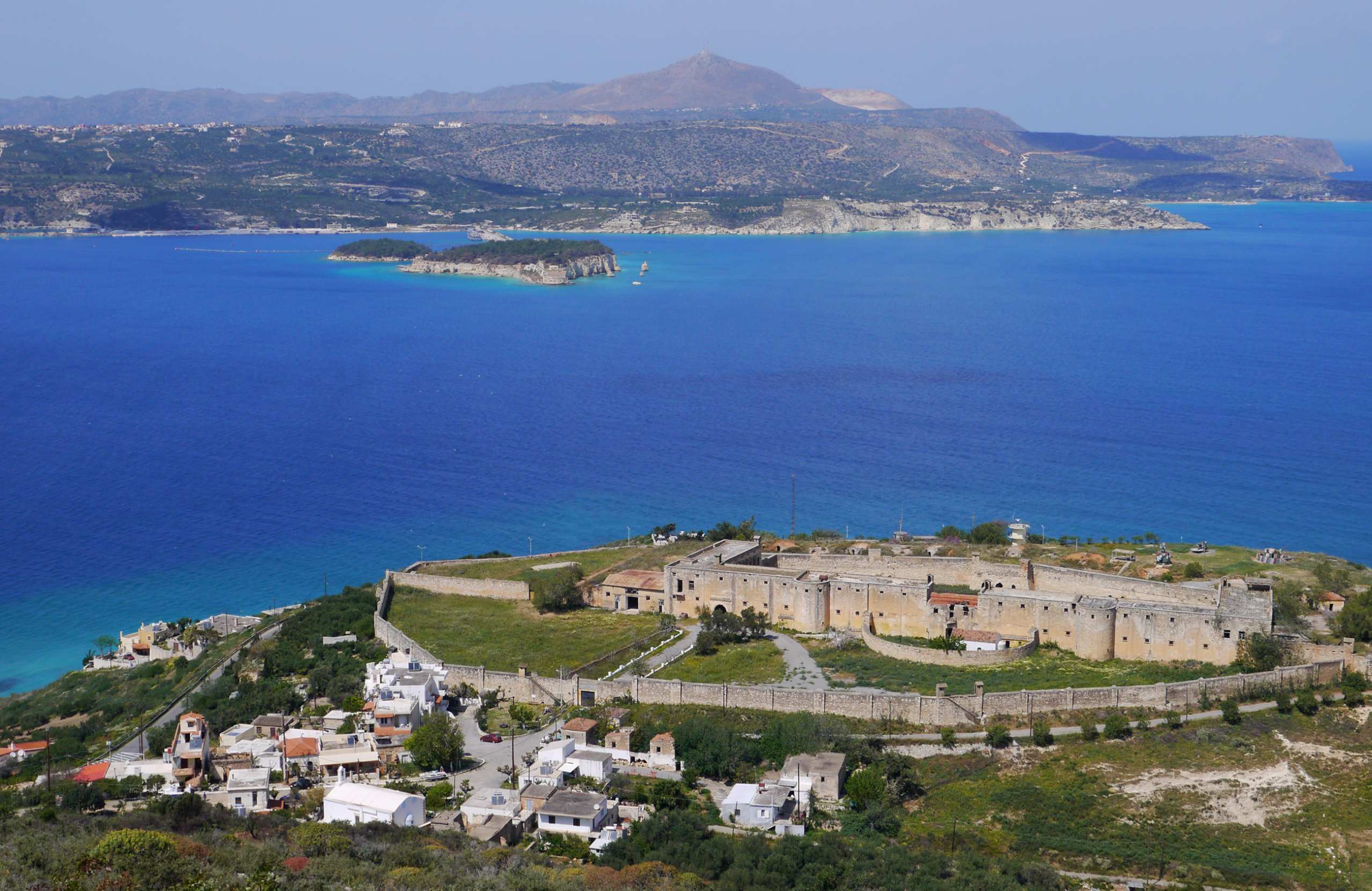
On the Akrotiri peninsula, northeast of the city, three monasteries stand within a few kilometres of each other. Agia Triada is the grand one, a seventeenth-century Venetian-influenced complex among olive groves and vines. Gouverneto is older and plainer, higher up the slope. From it a steep path drops to Katholiko, abandoned and half cut into the rock of a gorge.

Akrotiri also holds the graves of Eleftherios Venizelos and his son, on a headland with the whole of Chania below.

Frangokastello and Therisso

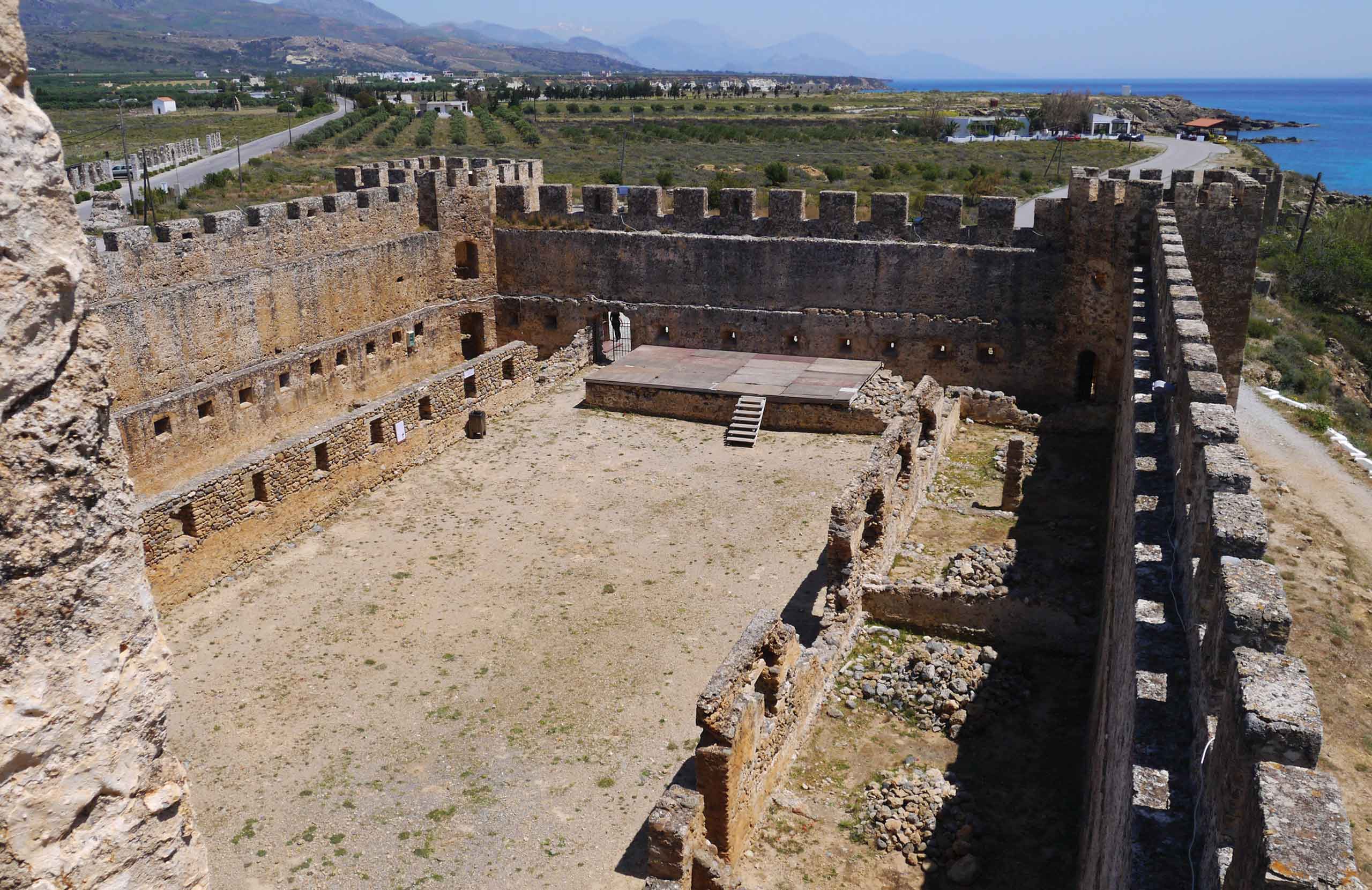
Frangokastello, on the south coast, is a Venetian fort of 1371 standing alone on a beach. In May 1828 a Greek force was destroyed here by Ottoman troops, and local tradition holds that at dawn in late May the shapes of the dead appear on the plain — the drosoulites.

At Therisso, in the mountains above Chania, Venizelos led a revolt in 1905 that eventually brought Crete into the Greek state. His headquarters is now a small museum.

Villages & Inland

The south coast

Sfakia is the wildest part of Crete and takes pride in it. Chora Sfakion is the main village, seventy-four kilometres from Chania over the mountains, and it is where the boats leave for Agia Roumeli and Gavdos.

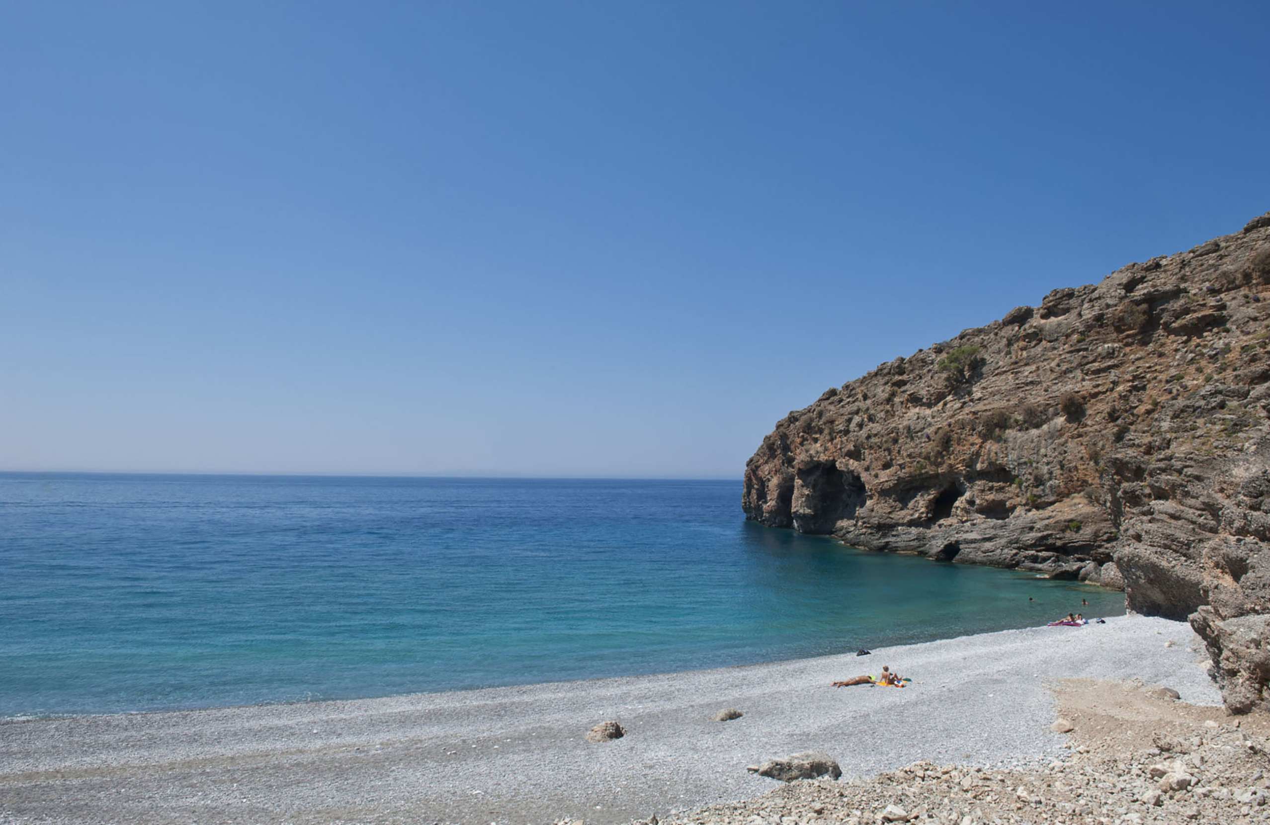
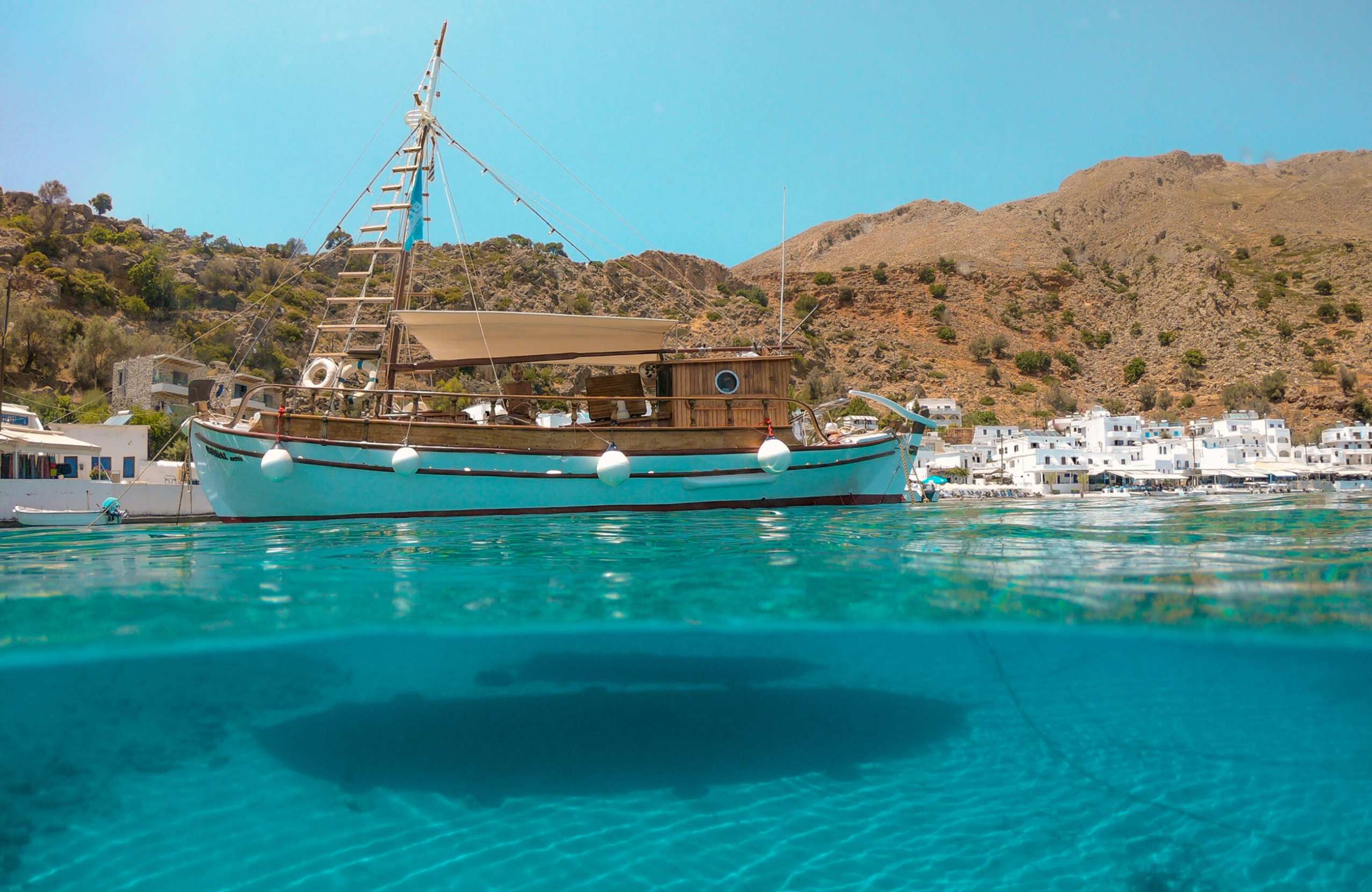
Loutro, a few kilometres west, has no road at all — you arrive by boat or on foot. It is a curve of white houses round a small bay, and cars cannot reach it.

Agia Roumeli, at the foot of Samaria, is the same.

Further west, Sougia and Palaiochora are reachable by road and both stay small.

Inland

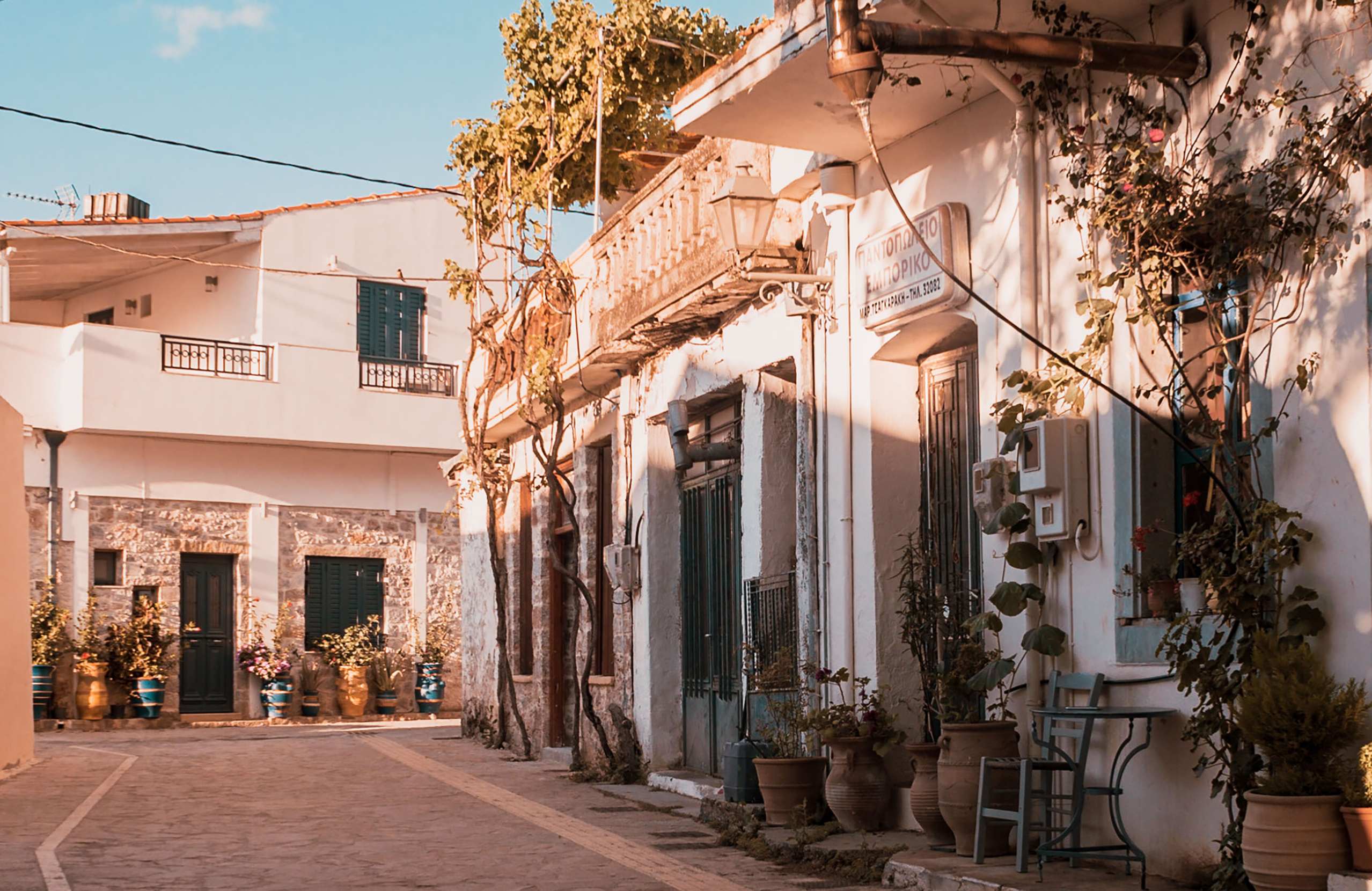
Vamos and Gavalochori in the east, and the villages of the Apokoronas, are stone-built and full of restored houses.

Above Chania, Therisso sits at the top of its gorge. In the far west, the chestnut villages around Elos hold a chestnut festival every October.

Anopoli and Aradaina, high above Loutro, are the starting points for walking into the White Mountains.

Beaches

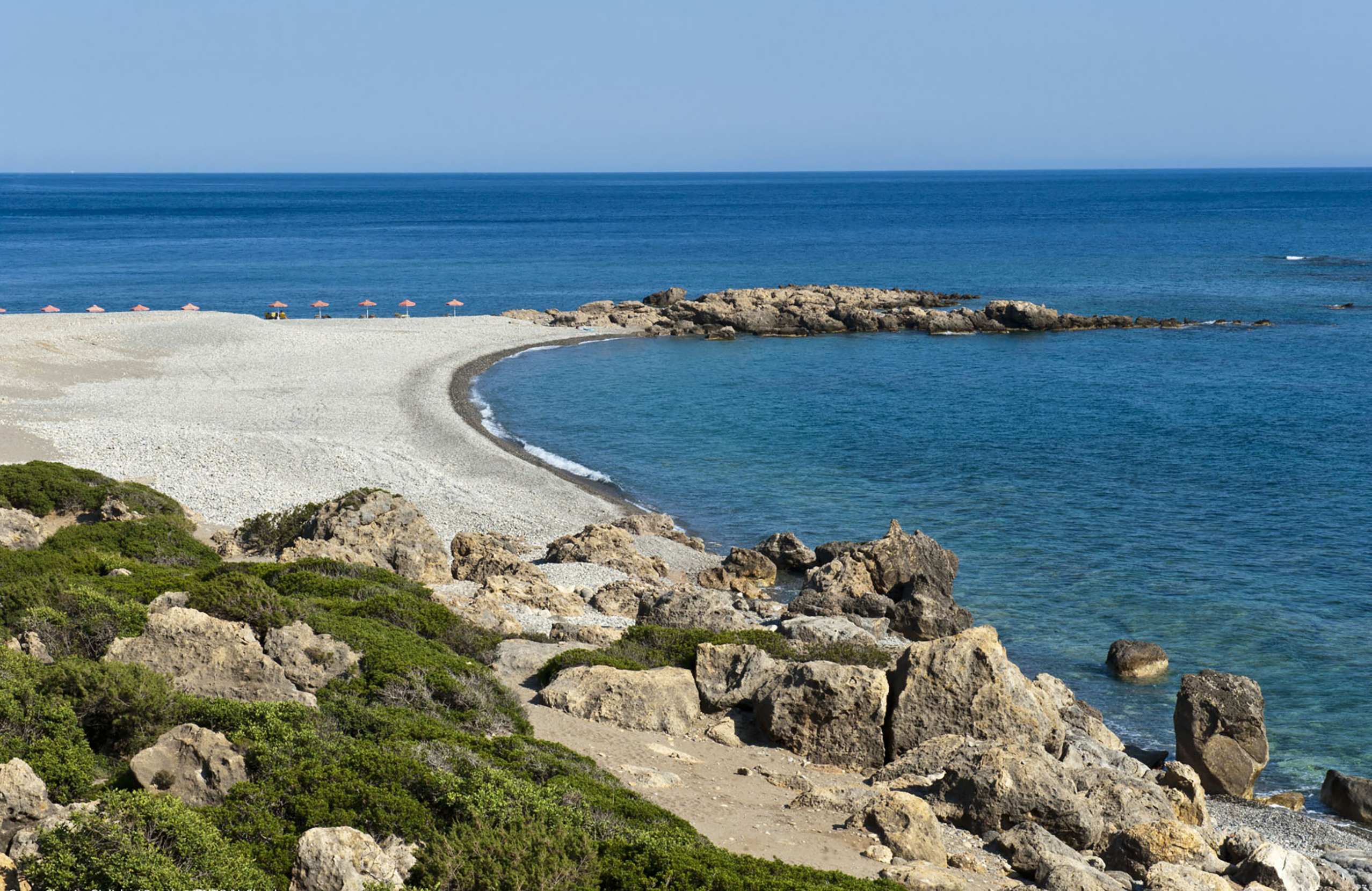
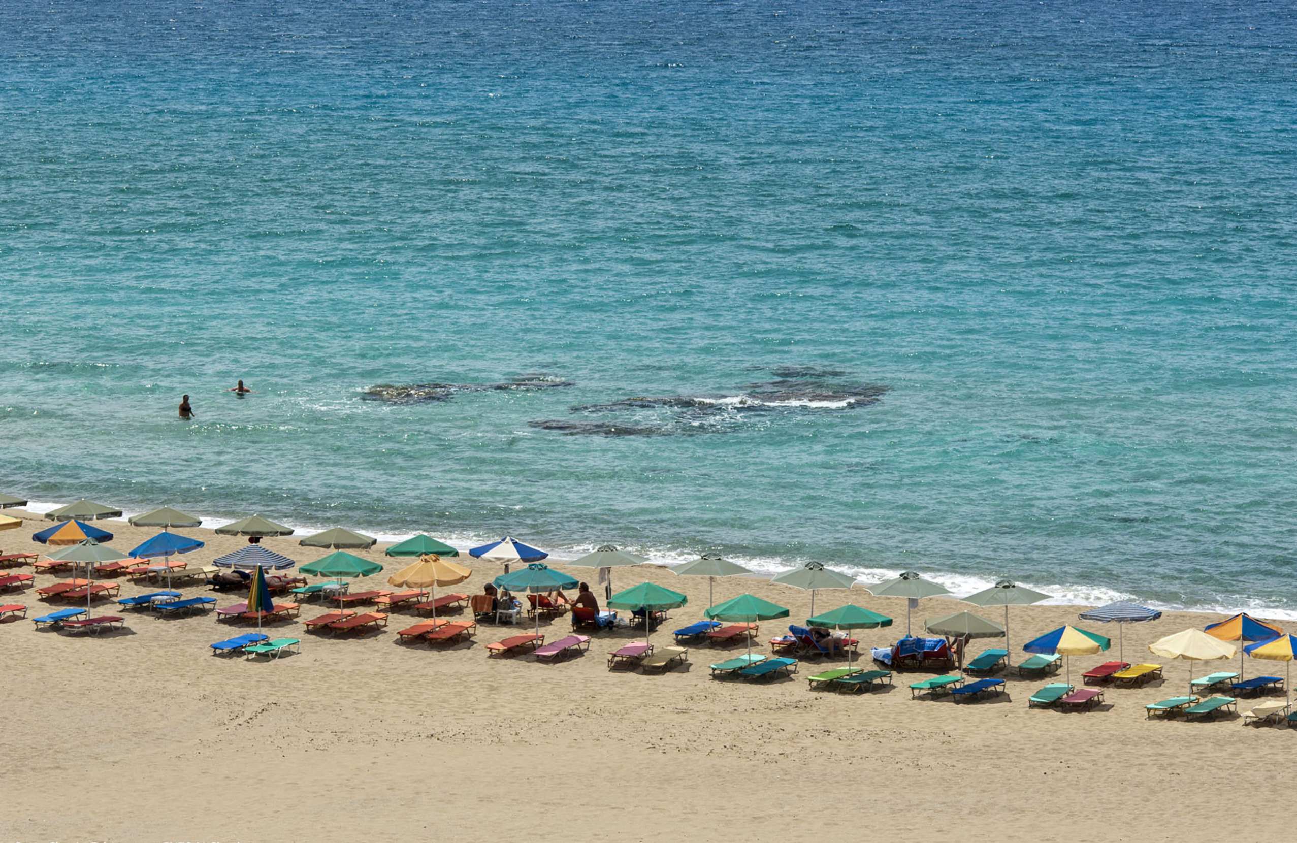
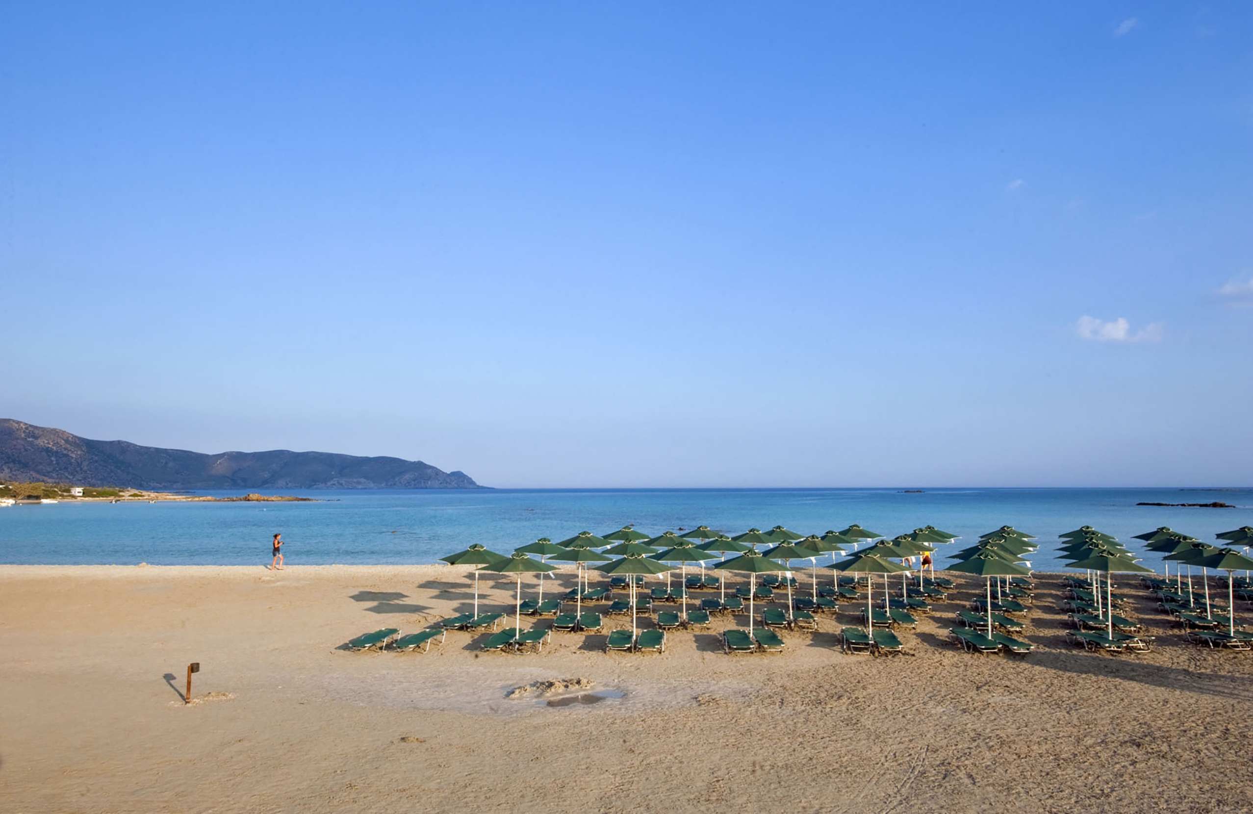
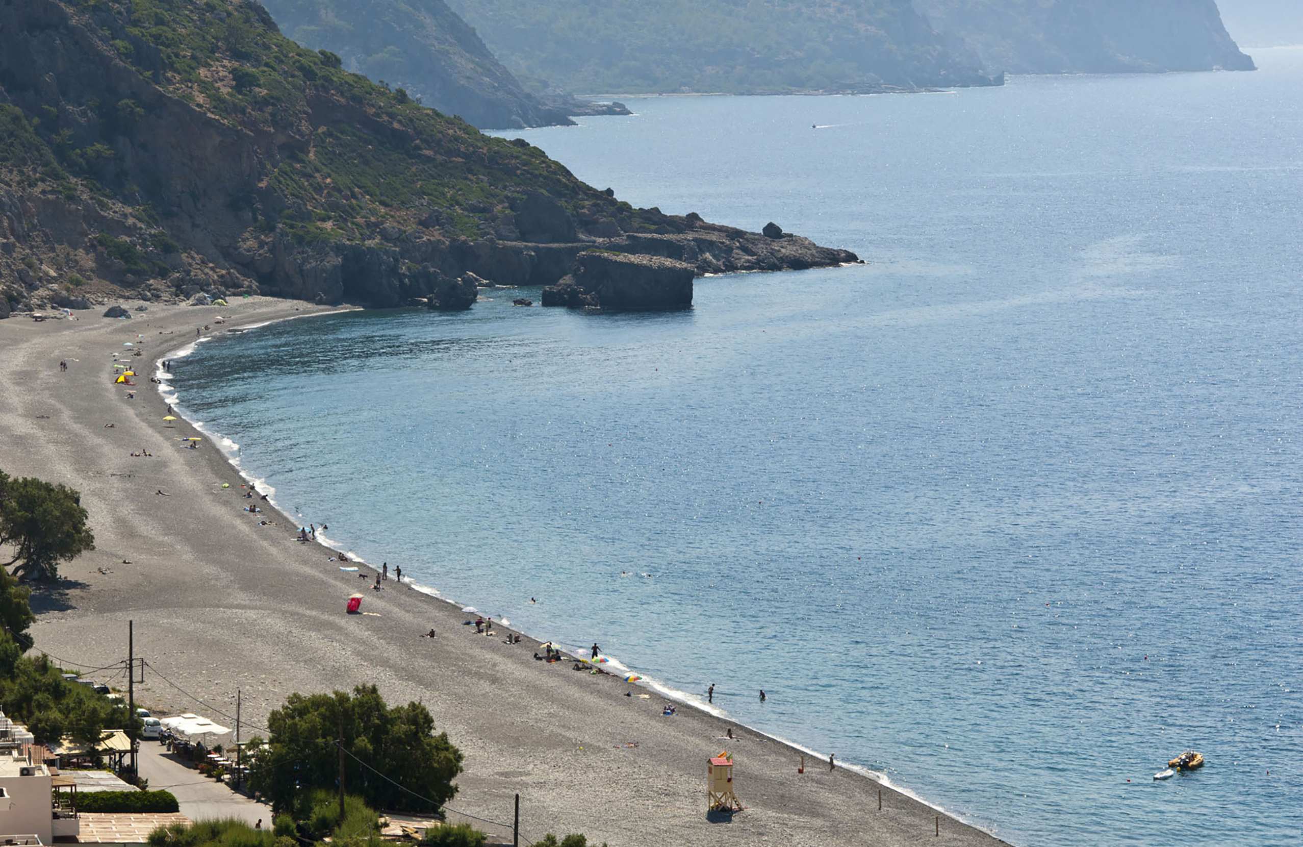
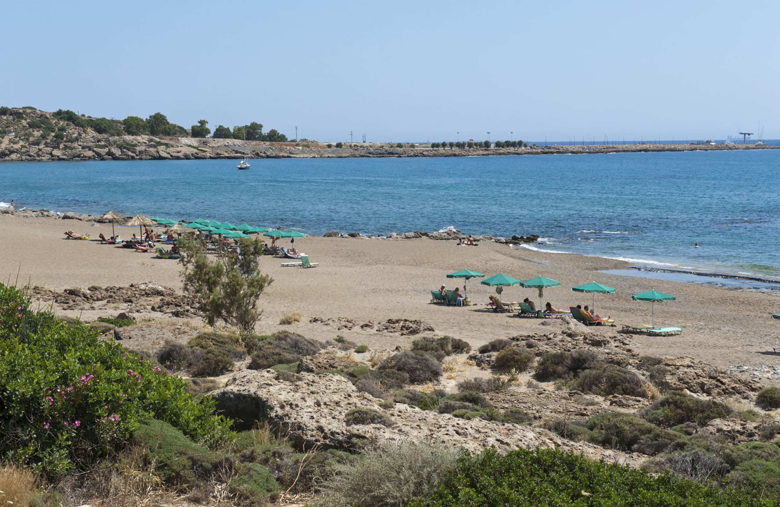
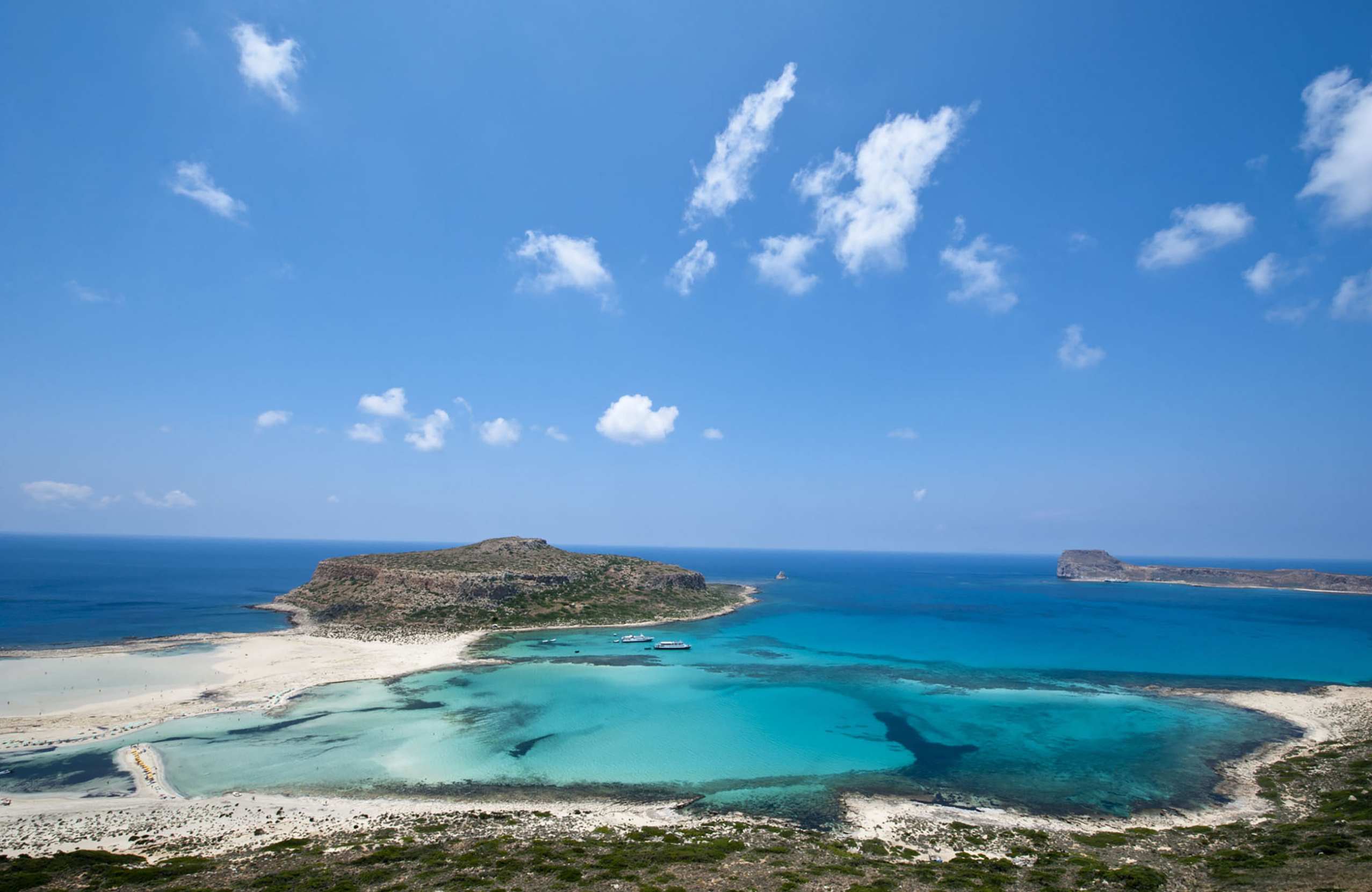
Western Crete has the beaches that appear on postcards, and they are genuinely remarkable — and genuinely hard to reach.

Elafonissi, in the southwest corner, is a shallow lagoon with sand that runs from white to pink, and you can wade across to the islet. It is about seventy-five kilometres from Chania on a slow winding road, and in July and August it is very crowded.

Balos, at the northwestern tip, is a lagoon between a peninsula and an islet. You get there either by boat from Kissamos or by a rough dirt road followed by a twenty-minute walk down. There is no shade and nothing to buy.

Falassarna is a long west-facing sandy beach that gets the sunsets and, often, the wind.

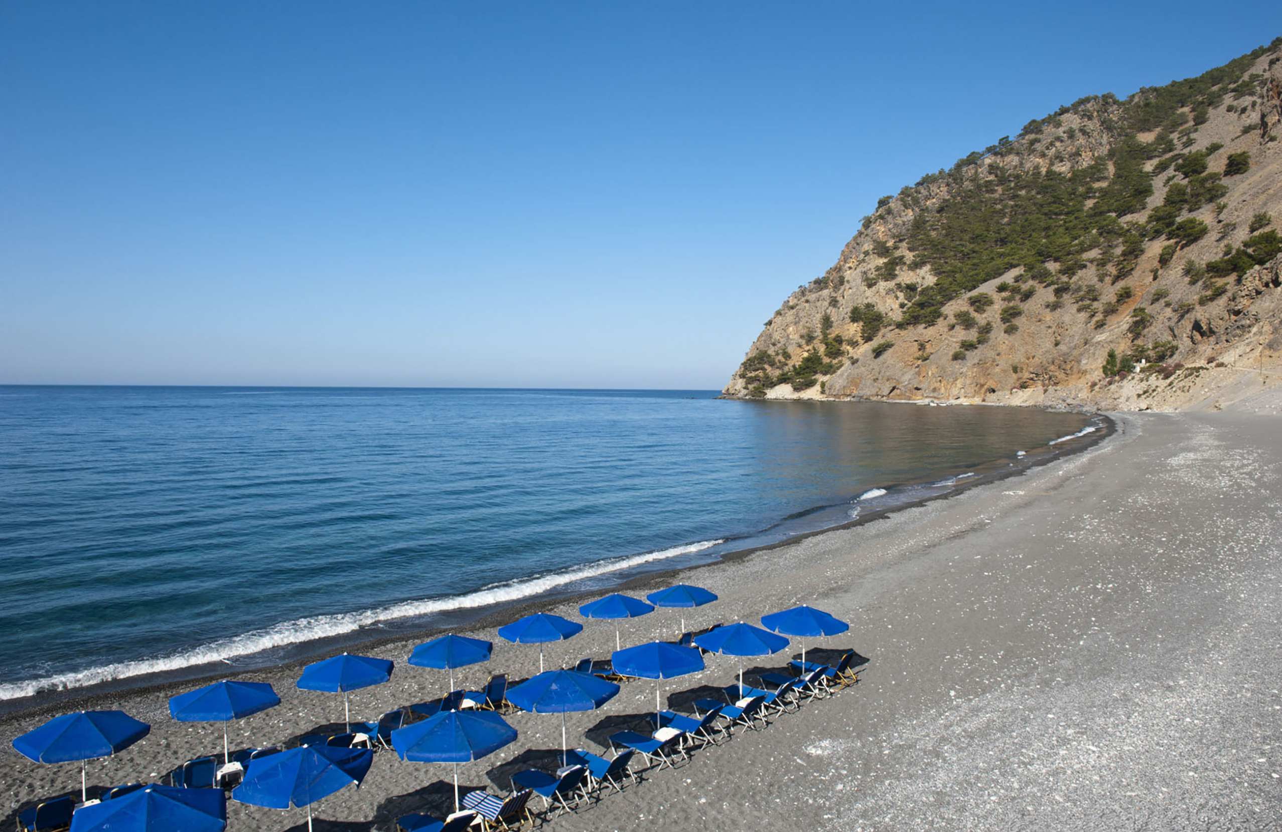
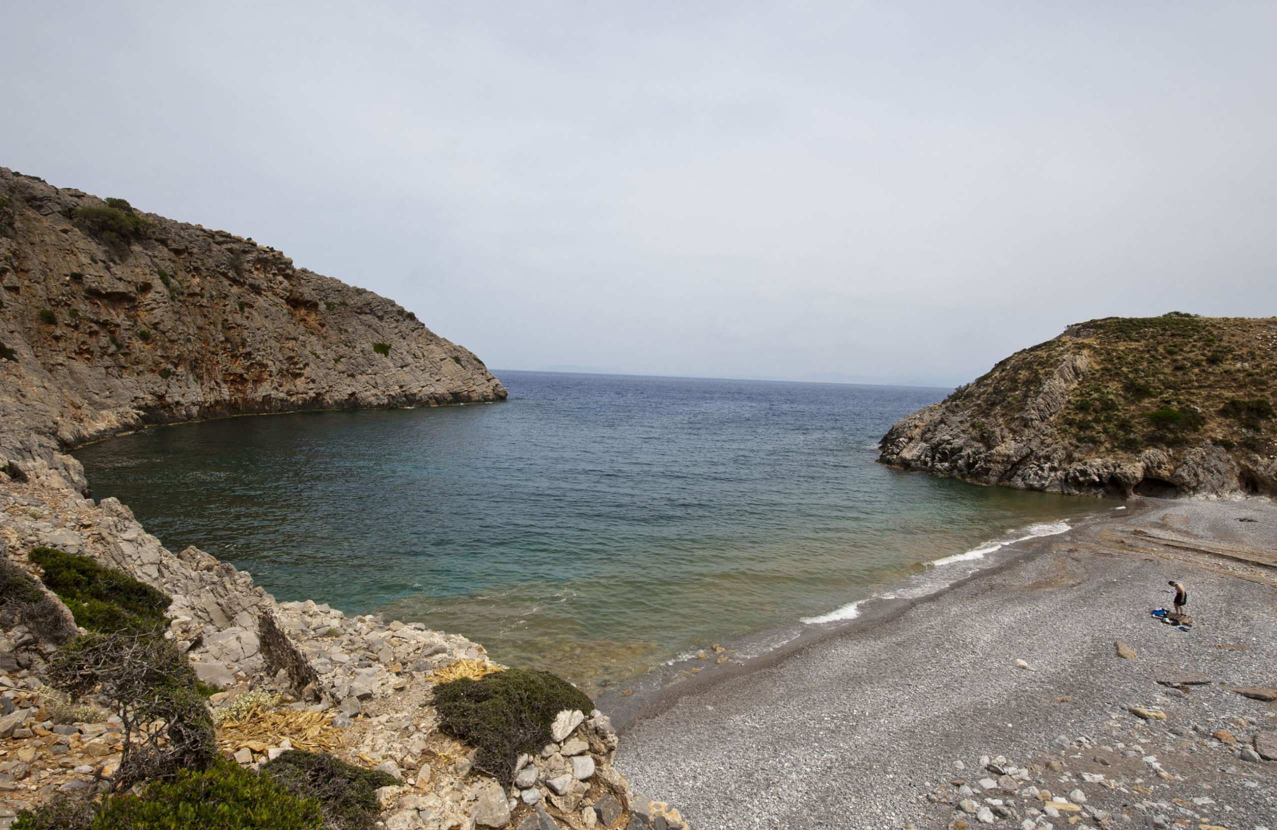
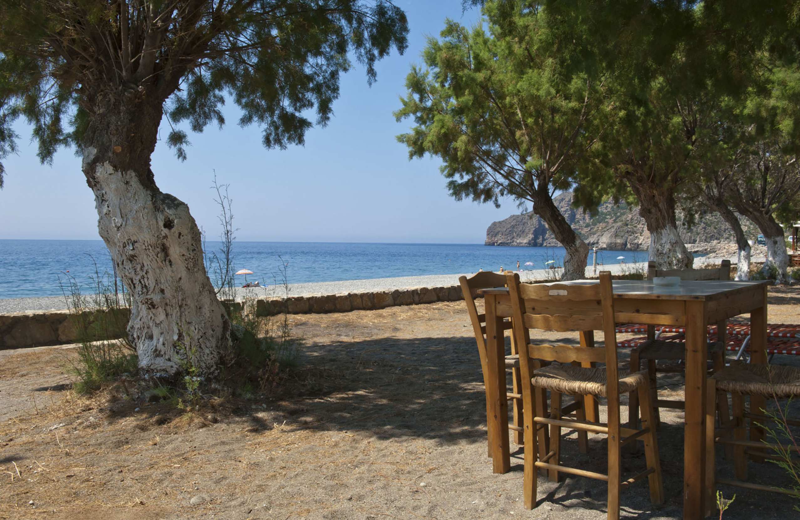
The south coast is different: Sougia, Palaiochora, Frangokastello and the pebble coves around Loutro are quieter, warmer and far less busy.

Seitan Limania, on Akrotiri, is a narrow inlet between cliffs reached down a steep path — spectacular, dangerous in a swell, and much too small for the number of people who go.

Food & Drink

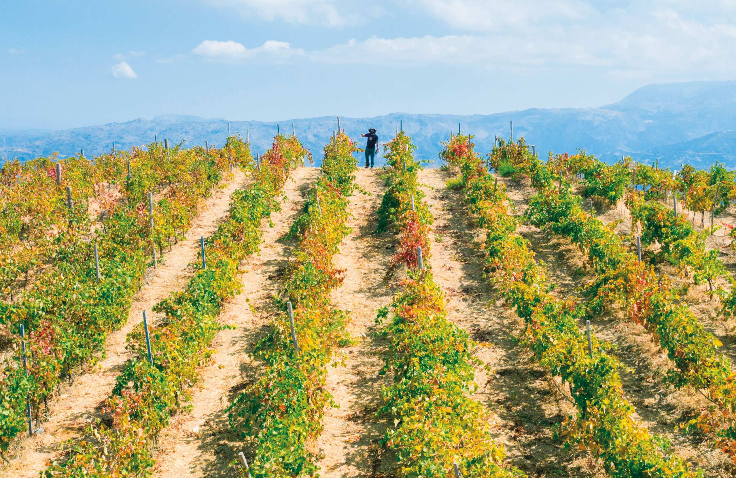
Western Crete grows olives on a scale that shapes the landscape, and the olive oil is the region's main product.

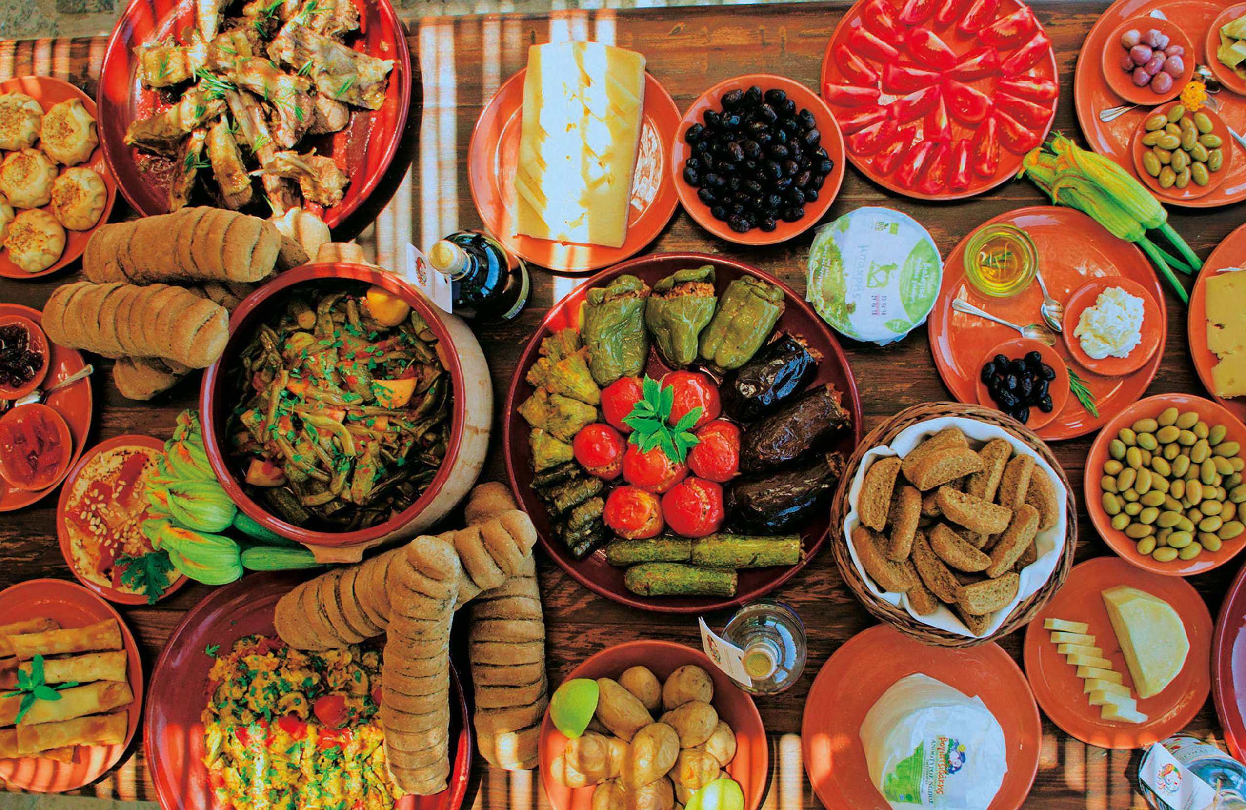
The cheeses are graviera, hard and made from sheep's milk, and fresh mizithra. Boureki, courgette and potato baked with cheese, belongs to this part of the island. Kalitsounia here are usually the sweet ones. Gamopilafo, rice cooked in meat broth, is the wedding dish.

The inland villages are where to eat — Therisso and the Apokoronas villages have tavernas that people drive out from the city for.

Raki arrives at the end of every meal without being asked for.

Where to Stay

Prices shown per night for a sample 3-night stay. Rates and availability vary by season — select your dates for live pricing.

Practical information

Exploring the Chania Area:

Getting there

See Chania for airport and ferry details. The airport is on Akrotiri, ferries dock at Souda, and a second port at Kissamos, 41 km west, serves Kythira and the Peloponnese.

Getting around

A car is necessary. The region is large and the roads are mountainous — Chania to Elafonissi takes two hours, to Chora Sfakion an hour and a half.

Some places have no road: Loutro and Agia Roumeli are reached only by boat, from Chora Sfakion, Sougia or Palaiochora. Boats also serve Gavdos, three times a week in winter and more often in summer.

For Samaria, KTEL buses run from Chania to Xyloskalo in about an hour. If you drive to the top you cannot collect your car at the bottom — the walk is one way.

When to go

May, June, September and October. Samaria opens around 1 May and closes at the end of October, and never opens in winter.

July and August are hot and the beaches are full. Spring is the best time for the gorges and the wild flowers.

Good to know

For Samaria: entry for the full route closes at 13:00, and everyone must be out by 18:00. After 13:00 you may only walk the first two kilometres. Take water — there are fountains along the route — and proper shoes; the surface is loose stone for most of the way.

Agia Roumeli has no road. Plan the boat and the bus back before you set off, and do not miss the last boat.

The road to Balos is rough and many hire agreements do not cover it. Check before driving, or take the boat from Kissamos.

The south coast in winter is very quiet — many villages close entirely.

Exploring the Chania Area— been there?Tell others what you saw.

A photo and two lines are enough.
More in Crete:
map Greece Crete