
The Strymon River enters Macedonia in northern Greece from Bulgaria, passing through a mountain gorge before crossing the fertile plain of Serres and reaching the Aegean Sea. Along its course, it feeds Lake Kerkini, a protected wetland known for its pelicans, flooded forest and remarkable birdlife.
The river’s landscapes change from the narrow Roupel passage to open farmland and the coastal wetlands of the Strymon Delta, where lagoons and reedbeds provide habitats for migrating birds. Visitors can explore the Kerkini wetland by canoe or boat and observe wildlife from the shore.
Near the river’s lower course, ancient Amphipolis preserves the remains of a wooden bridge that once controlled an important crossing between Macedonia and Thrace.
Geography
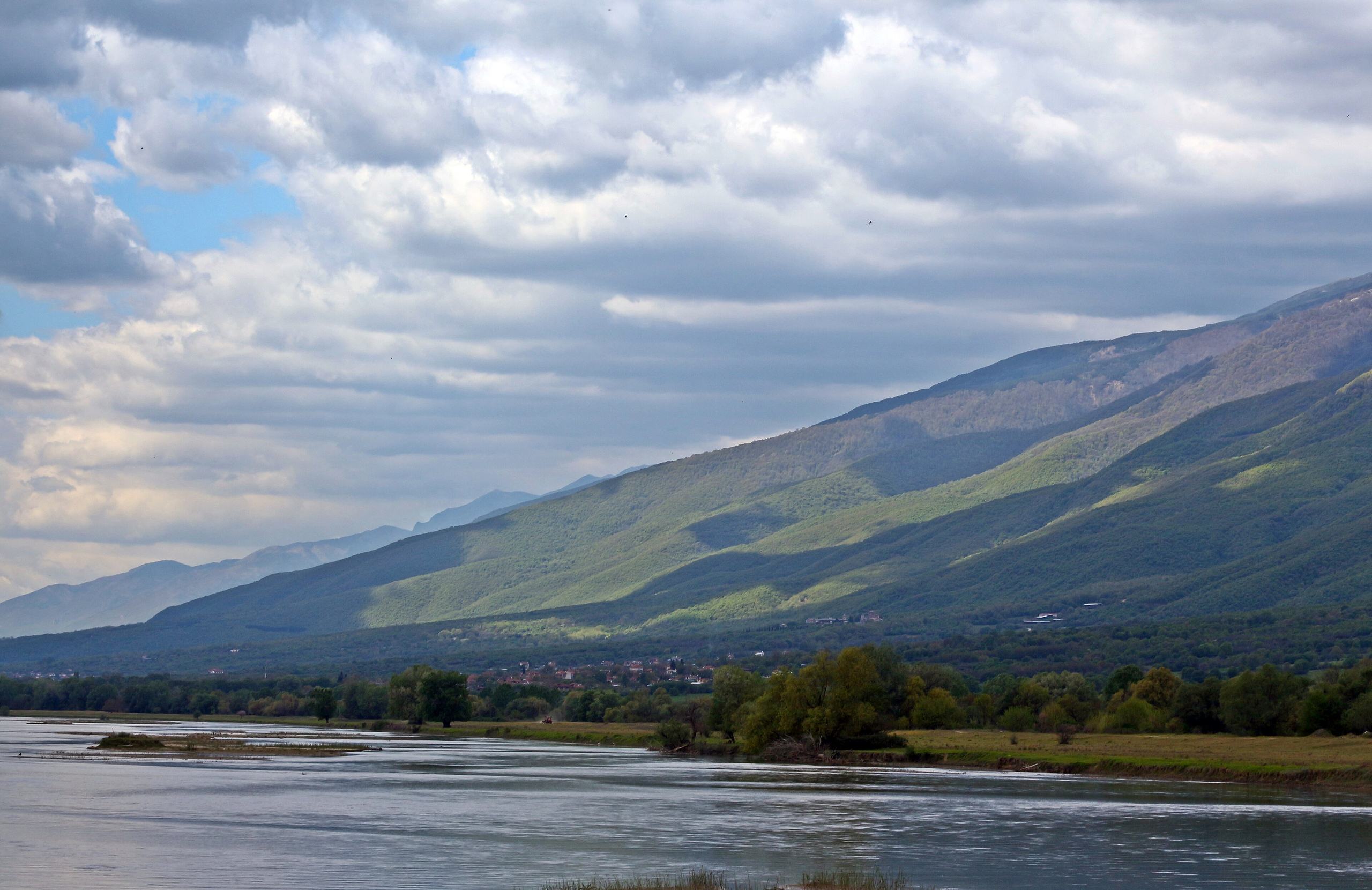
The Strymon River, known as the Struma in Bulgaria, rises in the Vitosha Mountains south of Sofia. It flows south through western Bulgaria before entering Greece through the Roupel Gorge, a narrow passage between Mount Kerkini (Beles) and Mount Agistro. The river is about 392 kilometres long, including approximately 118 kilometres in Greece, and drains a basin of around 17,300 square kilometres.
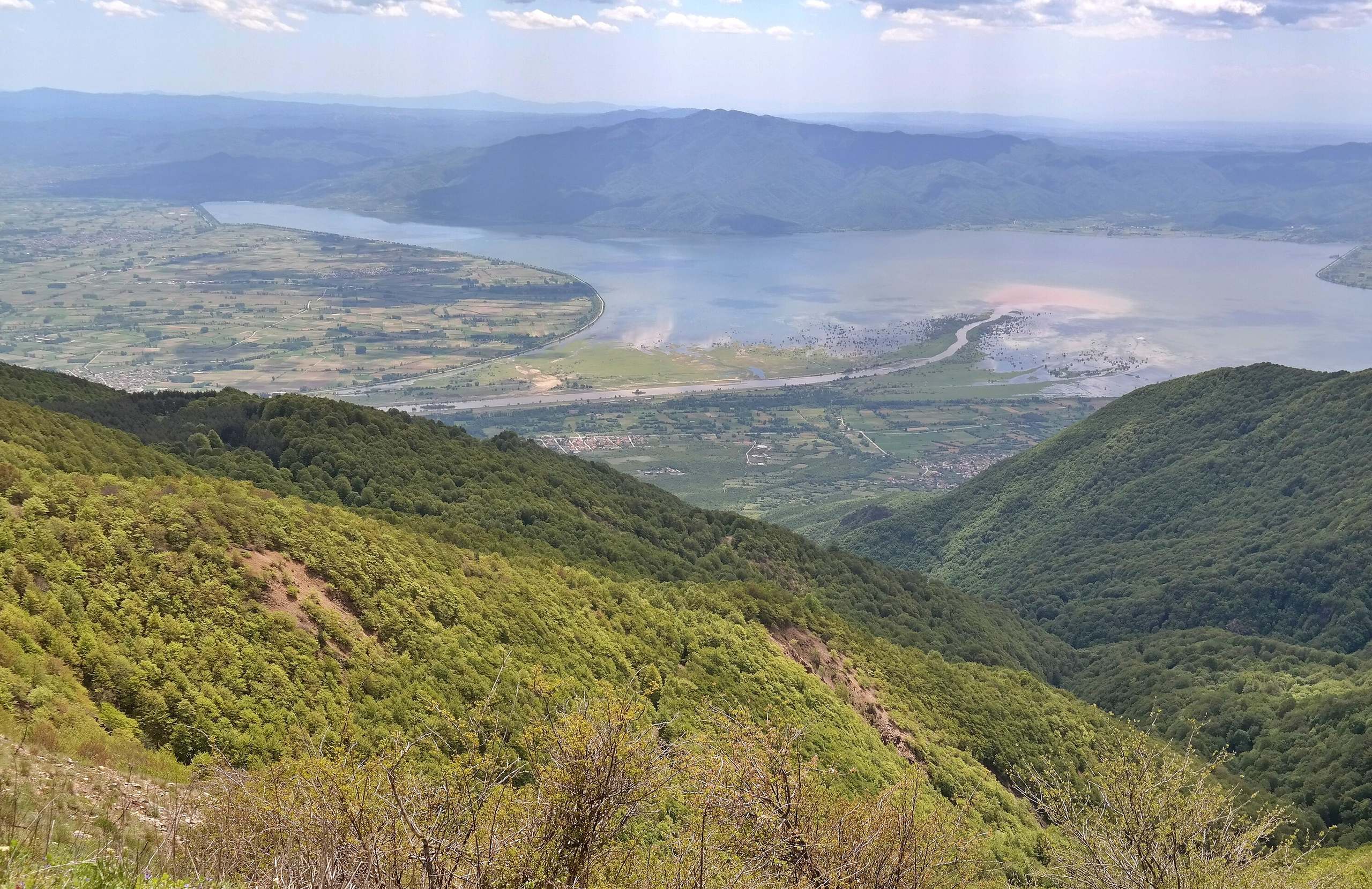
After crossing the border, the Strymon flows into Lake Kerkini, an artificial lake formed by a dam built near the village of Lithotopos in 1932. The lake receives water and sediment from the river, while the dam helps regulate the flow into the agricultural plain of Serres. The Angitis River joins the Strymon farther downstream.
The lower course passes east of Serres before reaching the Strymonikos Gulf, part of the Aegean Sea, near Amphipolis. Its delta includes an older river channel, the present river mouth and coastal wetlands. Flood control and irrigation works have changed much of the river's natural course through the plain.
Nature & Outdoors
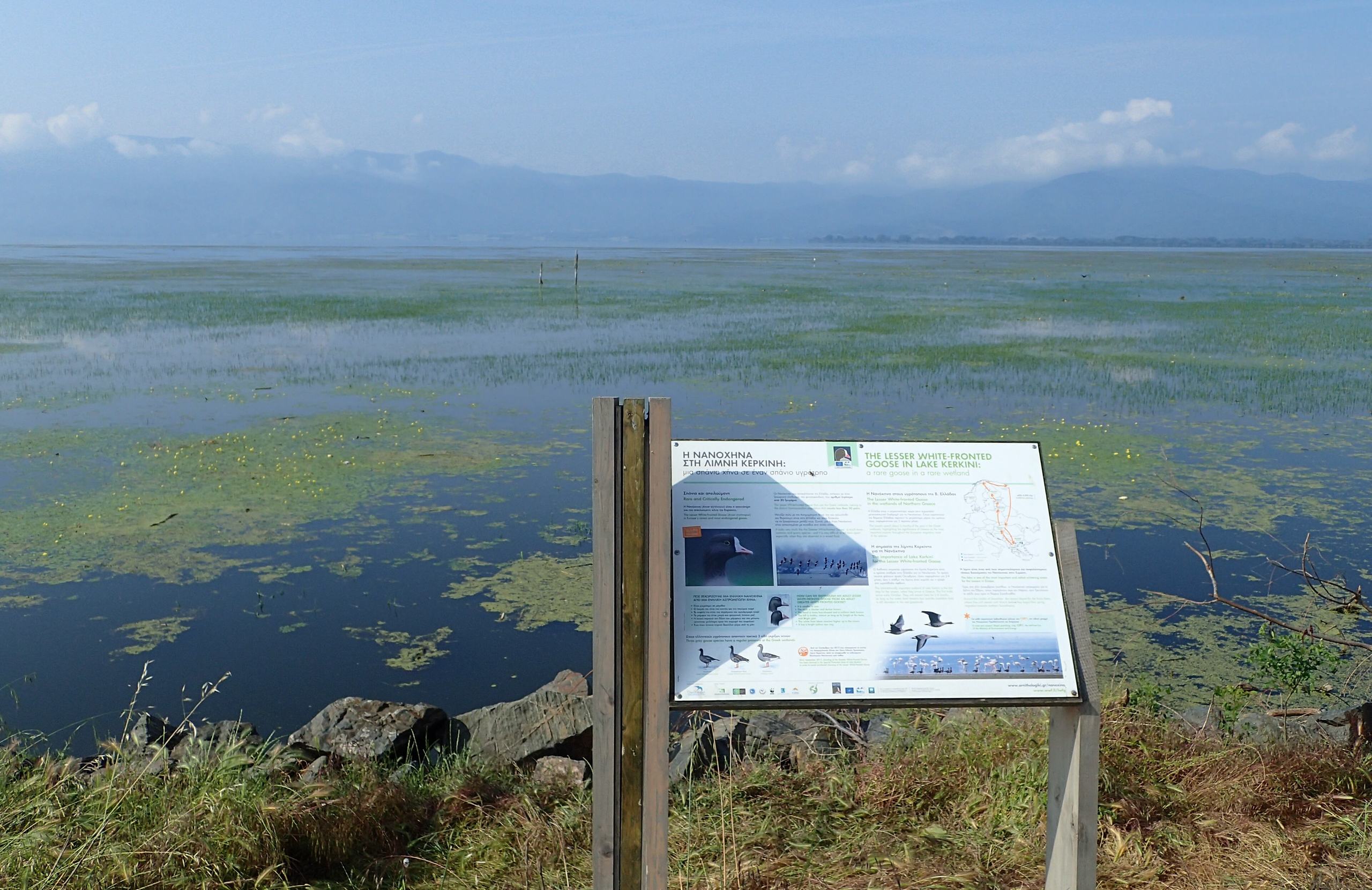
The Strymon supports two distinct wetland landscapes. At Lake Kerkini, the river enters a broad freshwater habitat surrounded by mountains. Along the northern shore, flooded woodland, reedbeds and shallow water provide nesting and feeding places for birds. The lake and its surrounding wetlands are protected under the Ramsar Convention and belong to the Natura 2000 network.
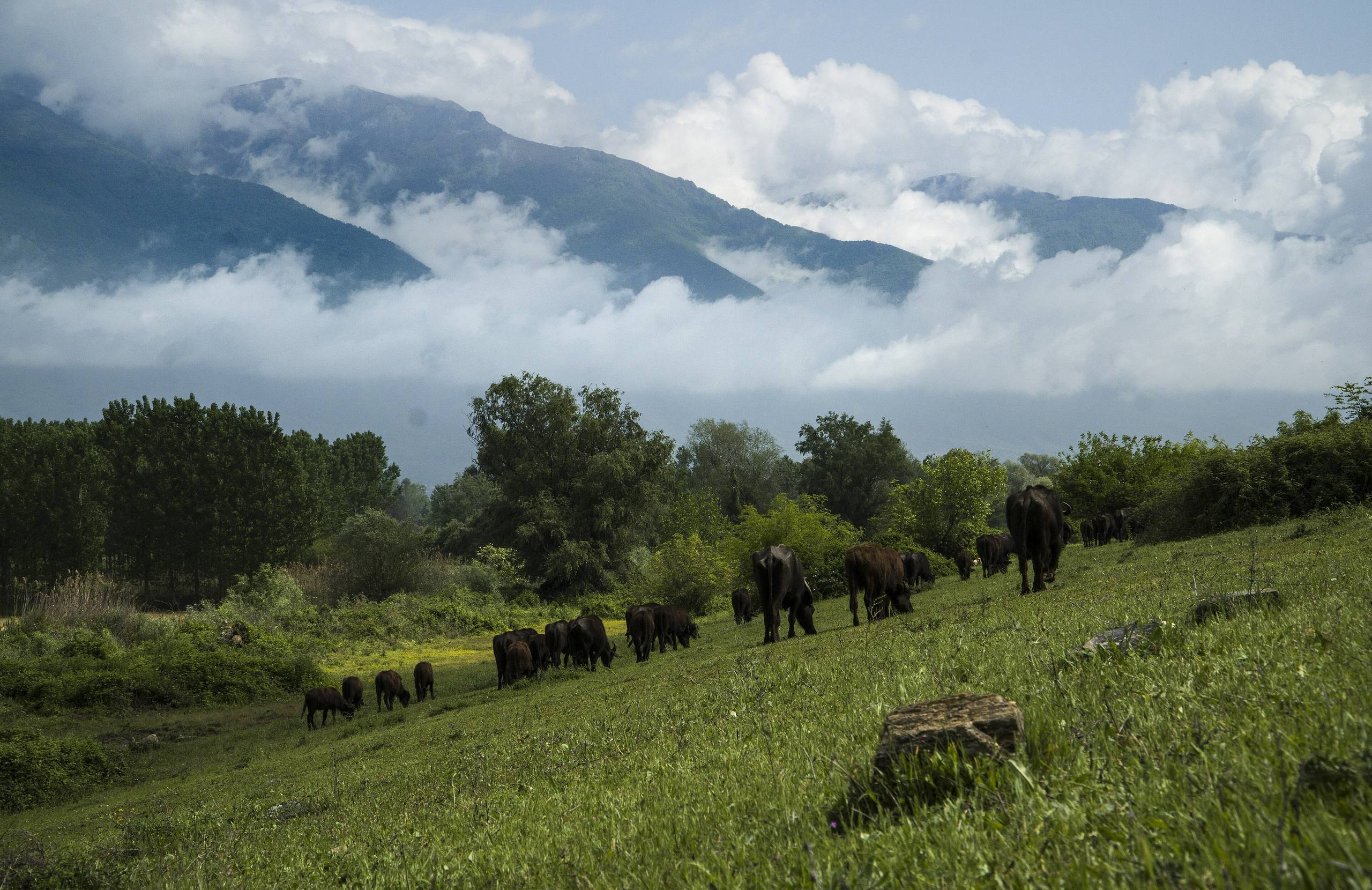
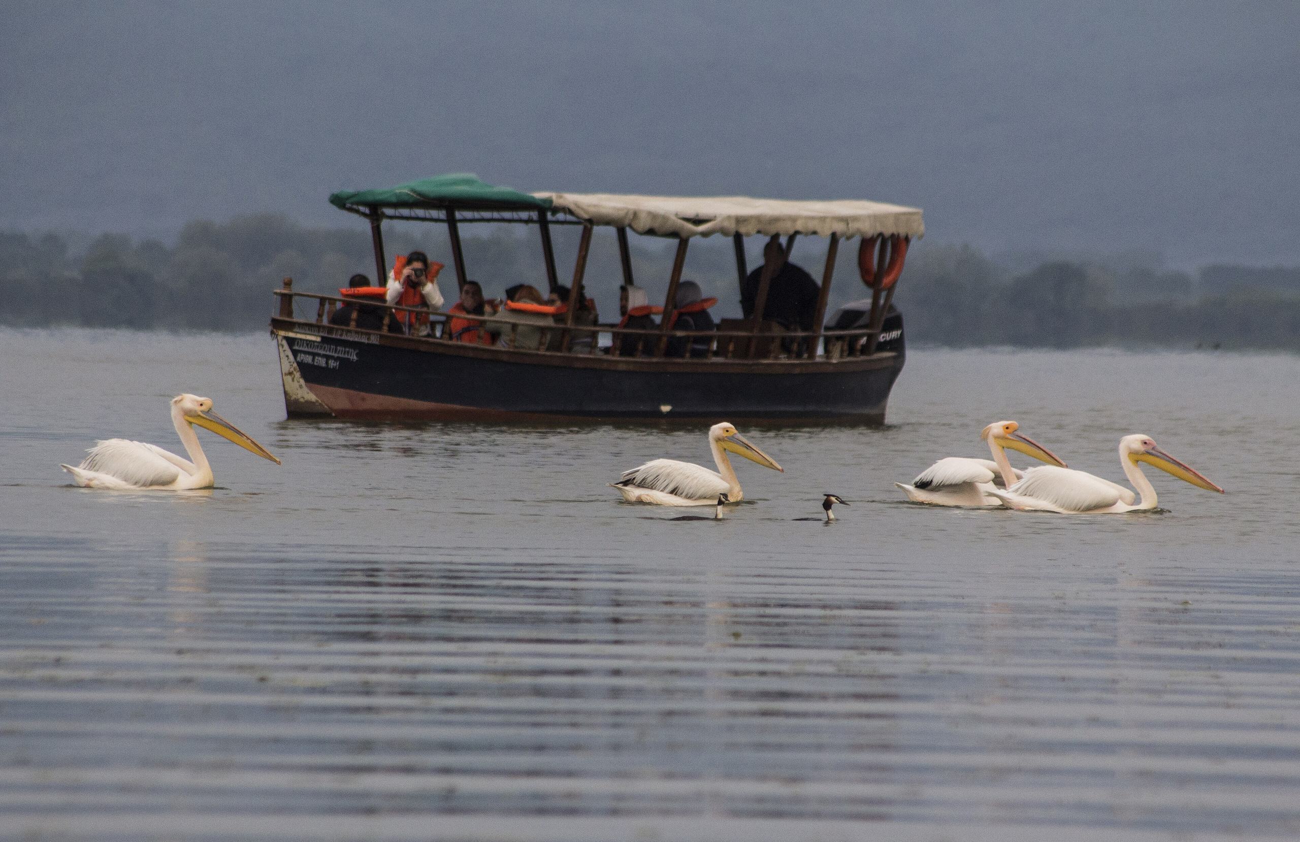
More than 300 bird species have been recorded around Kerkini, including Dalmatian pelicans, herons and cormorants. The flooded forest near the river's entrance to the lake is an important part of this habitat. Water buffalo also graze in the wet meadows around the lake, adding to the area's distinctive landscape.
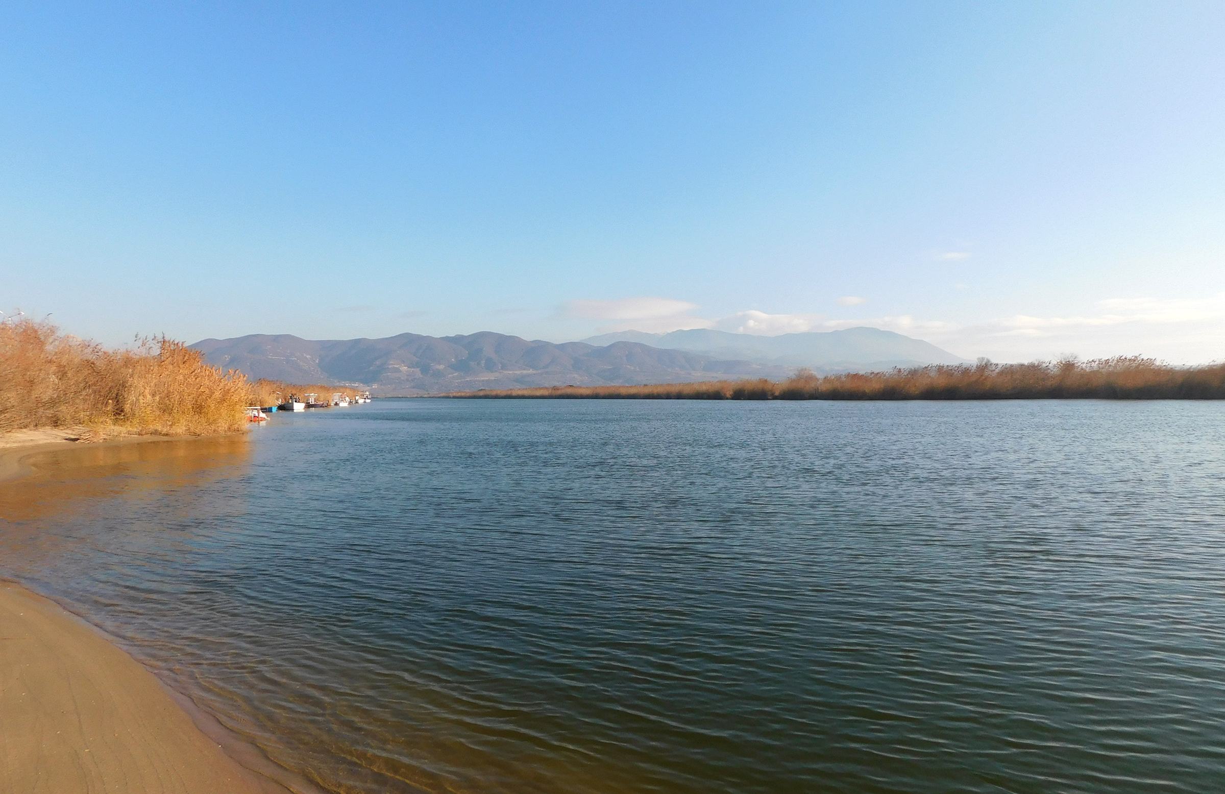
Farther south, the Strymon Delta forms a separate protected wetland at the river's mouth in the Strymonikos Gulf. Salt marshes, brackish lagoons, reedbeds and wet grassland support breeding, migrating and wintering birds. The Chayezi lagoon and the old riverbed are part of this coastal environment, where freshwater habitats meet the sea.
Activities
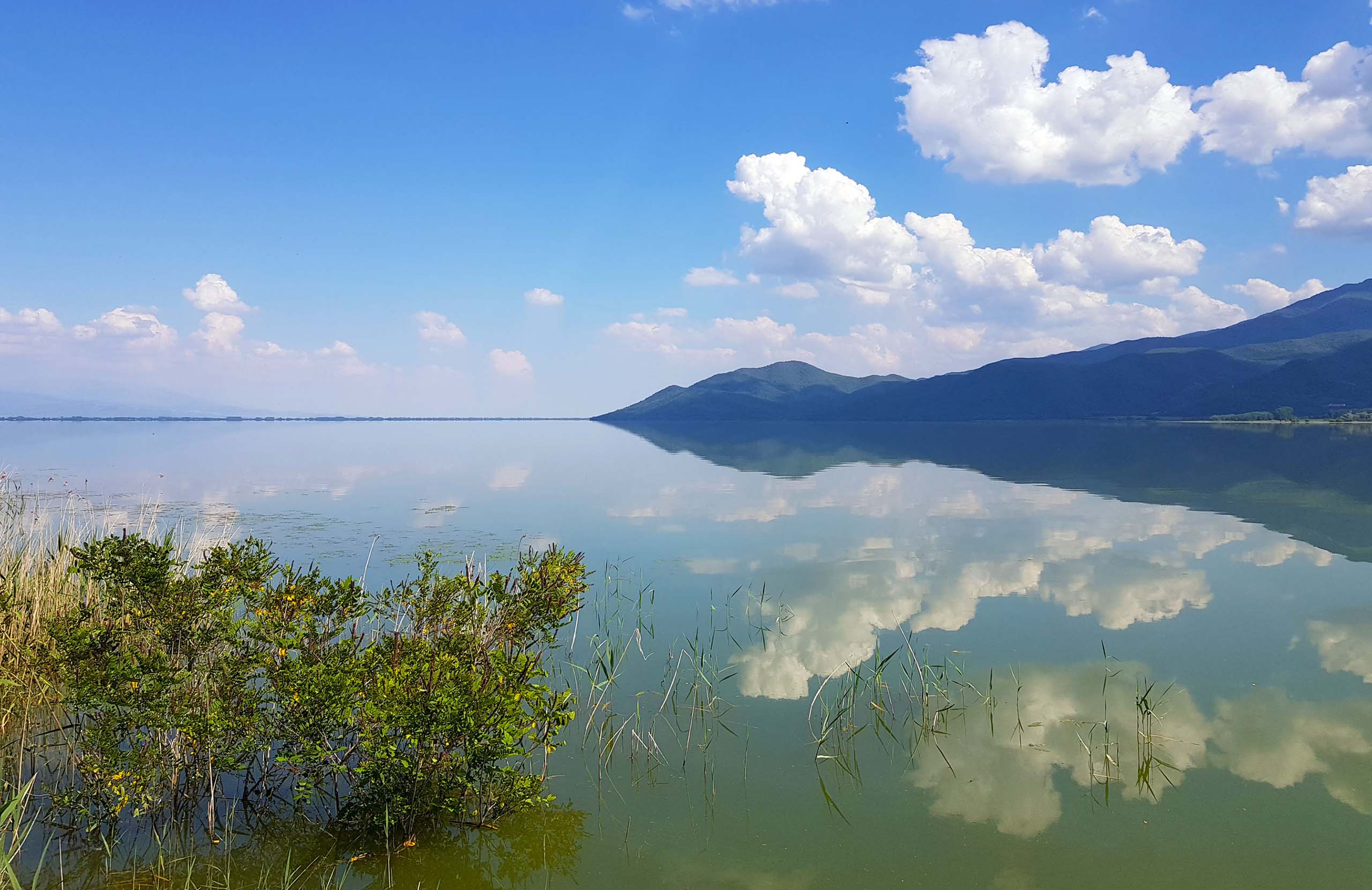
Canoeing is available in the wetland where the Strymon enters Lake Kerkini. Guided excursions from Mandraki, a village on the northern side of the lake, travel through shallow water, reeds and flooded trees towards bird nesting areas. The experience is based on quiet paddling and wildlife observation rather than fast-moving river water. Different routes explore other parts of the lake according to seasonal water conditions.
Boat excursions offer another way to discover the river's freshwater delta within Kerkini. Traditional flat-bottomed boats take visitors through the wetland landscape, where pelicans, cormorants and other waterbirds can be seen. Trips also provide views of the surrounding mountains and the flooded forest.
Birdwatching and wildlife photography are established activities throughout the Kerkini wetland. Accessible banks, embankments and observation points allow visitors to see birds without entering sensitive nesting areas. At the coastal Strymon Delta, birdwatching is possible around the accessible wetland edges, although facilities and organised visitor activities are more limited than at Kerkini.
History & Culture
In ancient Greek mythology, Strymon was a river god associated with Thrace. Hesiod names him among the children of Oceanus and Tethys. The river also played an important part in the history of ancient Amphipolis, a city founded by Athens in 437 BC near a strategic crossing of the Strymon. Its position gave the city access to trade routes, timber and resources from the surrounding region.
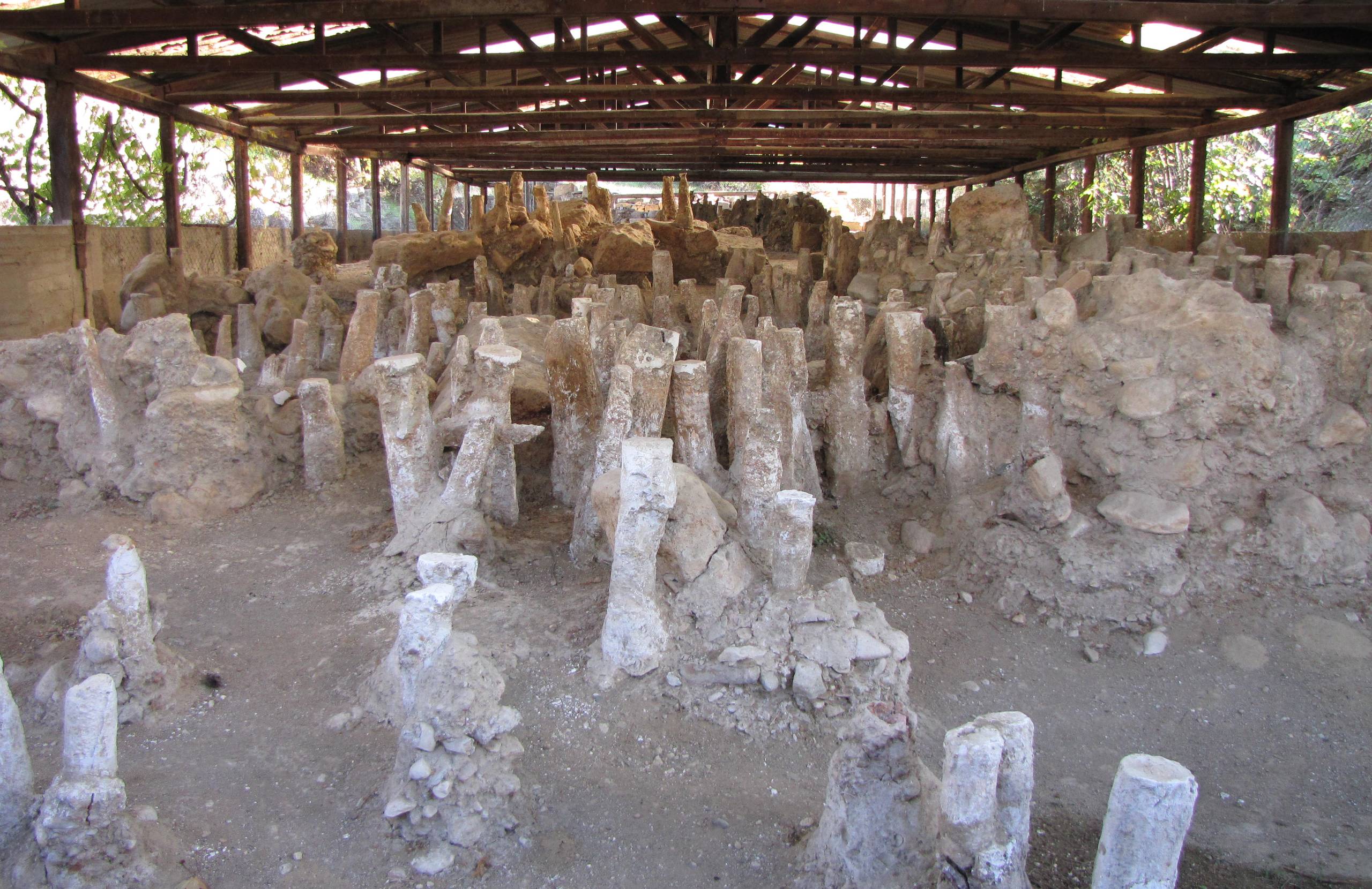
One of the most important archaeological discoveries at Amphipolis is the ancient wooden bridge over the Strymon. Excavations revealed preserved oak posts near the city's northern fortification wall. The crossing was important during the Peloponnesian War, when the Spartan commander Brasidas captured Amphipolis in 424 BC. Parts of the bridge's foundations remain at the archaeological site.
The river also shaped the modern history of the Serres plain. Before extensive flood-control works, seasonal flooding affected large areas of farmland. The construction of the Kerkini dam in 1932 helped control flooding and provide irrigation water, changing the valley's agriculture and creating the lake that became an important wildlife habitat.
Practical information
Getting there
The Strymon can be approached from several parts of Macedonia. For the Lake Kerkini wetland, the main access points include the villages of Kerkini and Mandraki, north-west of Serres, and Lithotopos near the dam. The Roupel passage lies farther north, close to the Bulgarian border. For the river's lower course, follow the road towards ancient Amphipolis, south-east of Serres. The coastal delta is approached separately, from roads near the Strymonikos Gulf. A car is useful for visiting these widely separated locations.
Getting around
The Strymon does not have one continuous visitor route. Around Lake Kerkini, embankments and lakeside roads provide access to birdwatching locations, while guided boats and canoes explore the flooded woodland and shallow water. Routes depend on the lake's water level. The archaeological site of ancient Amphipolis is reached by road, with the old bridge remains forming part of the historical setting. At the coastal delta, access is more limited, with agricultural tracks and protected wetland areas rather than established visitor trails.
When to go
Spring and autumn are particularly rewarding for birdwatching around Lake Kerkini and the Strymon Delta, when migrating birds pass through the wetlands. Spring also brings nesting activity, while winter attracts waterbirds, including pelicans and cormorants. Summer allows visitors to explore the lake by boat or canoe, although temperatures across the Serres plain can be high. Water levels at Kerkini change seasonally because of river flow and irrigation requirements, affecting which flooded forest areas can be reached during excursions.
Good to know
Canoeing and boat trips should be arranged with experienced local guides, particularly when exploring the flooded woodland near the Strymon's entrance to Lake Kerkini. Water levels and wildlife protection requirements can affect the routes available. The coastal delta is a separate wetland from Kerkini and has fewer visitor facilities. Check local access conditions before travelling there, particularly after heavy rainfall. Both wetland areas include protected habitats, so avoid entering nesting areas or disturbing birds. River swimming and independent paddling should not be assumed safe.
Strymon River— been there?Tell others what you saw.
A photo and two lines are enough.
