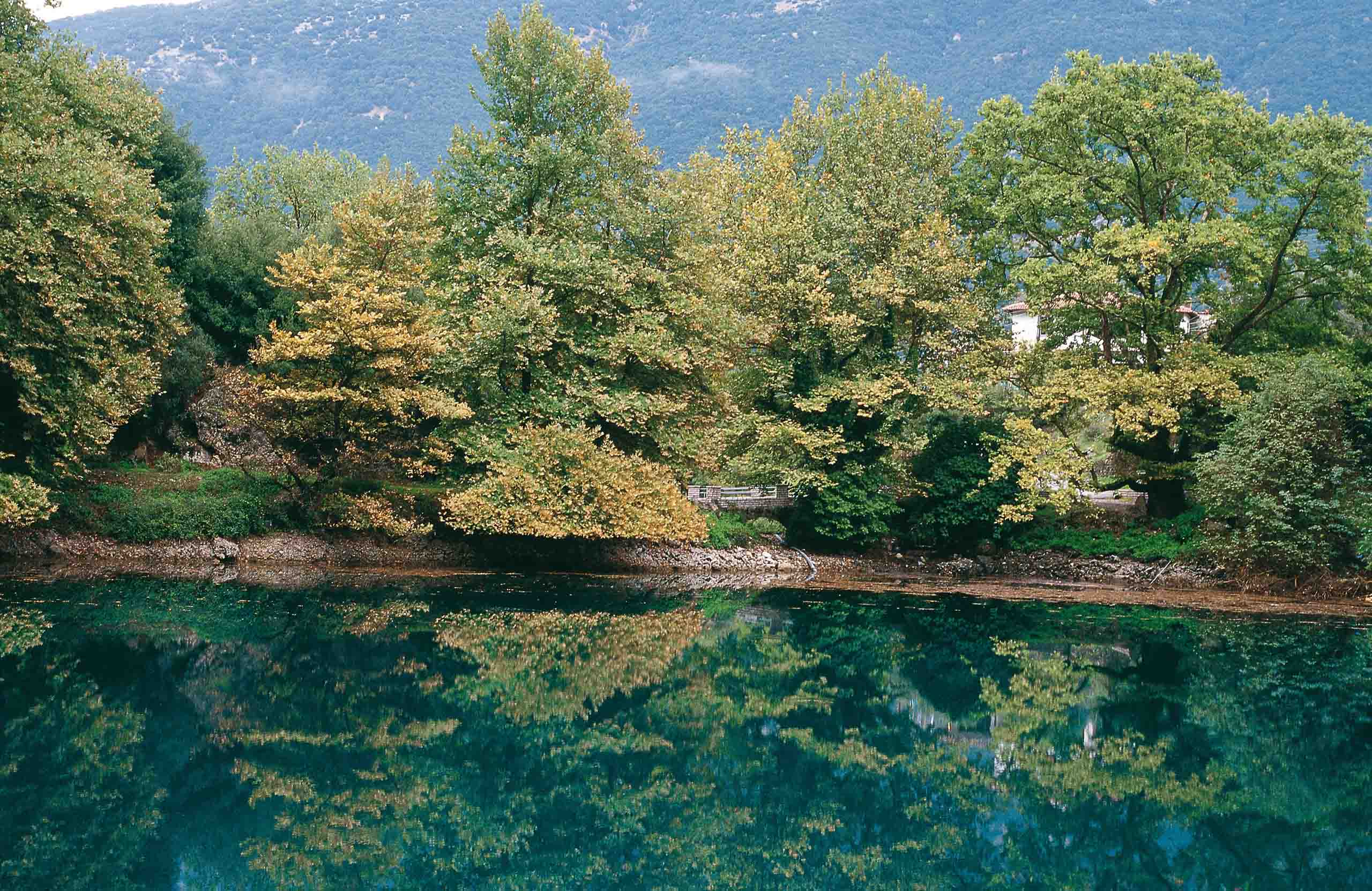
The Louros rises from springs on the eastern slopes of Mount Tomaros, near the village of Vouliasta in Epirus, and runs south for around 70 kilometres before reaching the Ambracian Gulf. Unlike some of the region’s other rivers, there is no rafting or rapids here — the flow is clear and spring-fed, cutting a short canyon before opening into wider valleys. Two very different chapters of history sit along its length: a Roman aqueduct that once carried its spring water to Nikopolis, and a Byzantine castle built to watch over the river when it was still navigable by boat.
What travellers posted
Been here? A photo and two lines are enough.
Geography
The river emerges from a large spring immediately north of Vouliasta, on the eastern slopes of Mount Tomaros — itself just under 2,000 metres at its highest point — and drops through a short canyon before the valley opens out. From there it runs roughly 70 kilometres south, gathering a drainage basin of close to 1,000 square kilometres as it crosses from the Ioannina area into the Preveza and Arta regional units, briefly marking the boundary between the two.
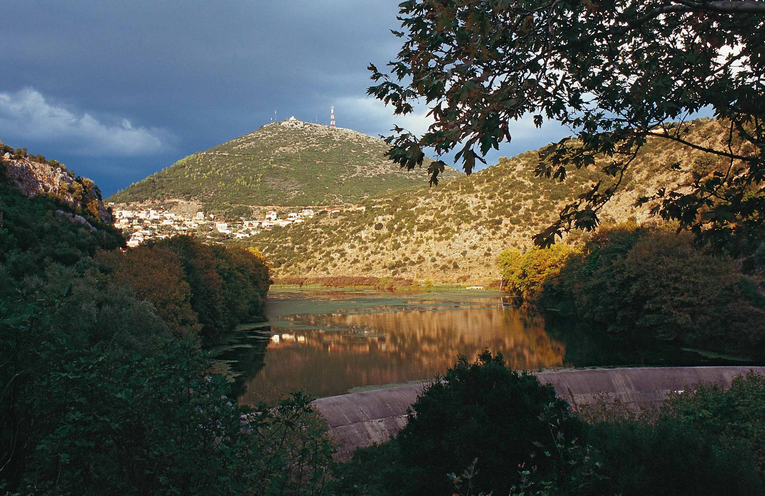
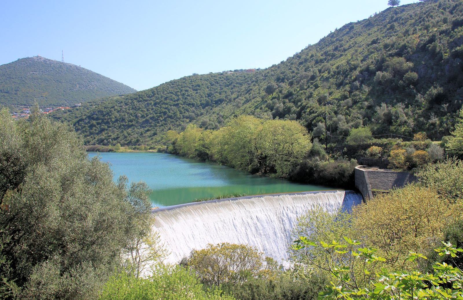
A dam and hydroelectric station sit on its middle course, near the village of Nea Kerasounta, generating power from a river with otherwise little industrial use. Further downstream the current slows and spreads into marshland before reaching the sea at Salaora bay, on the northern edge of the Ambracian Gulf.
History & Culture
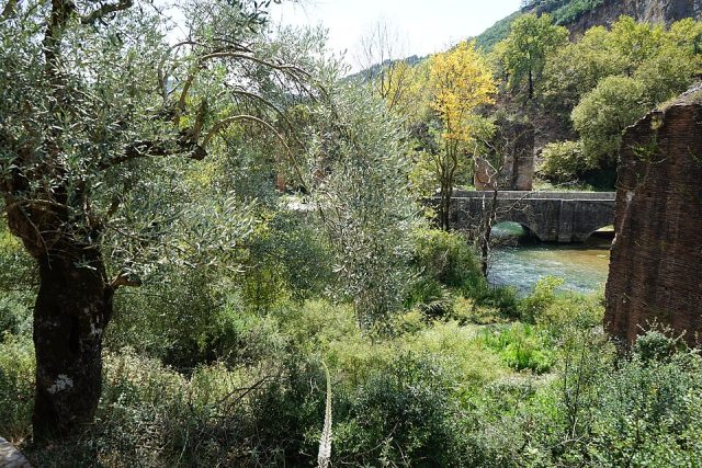
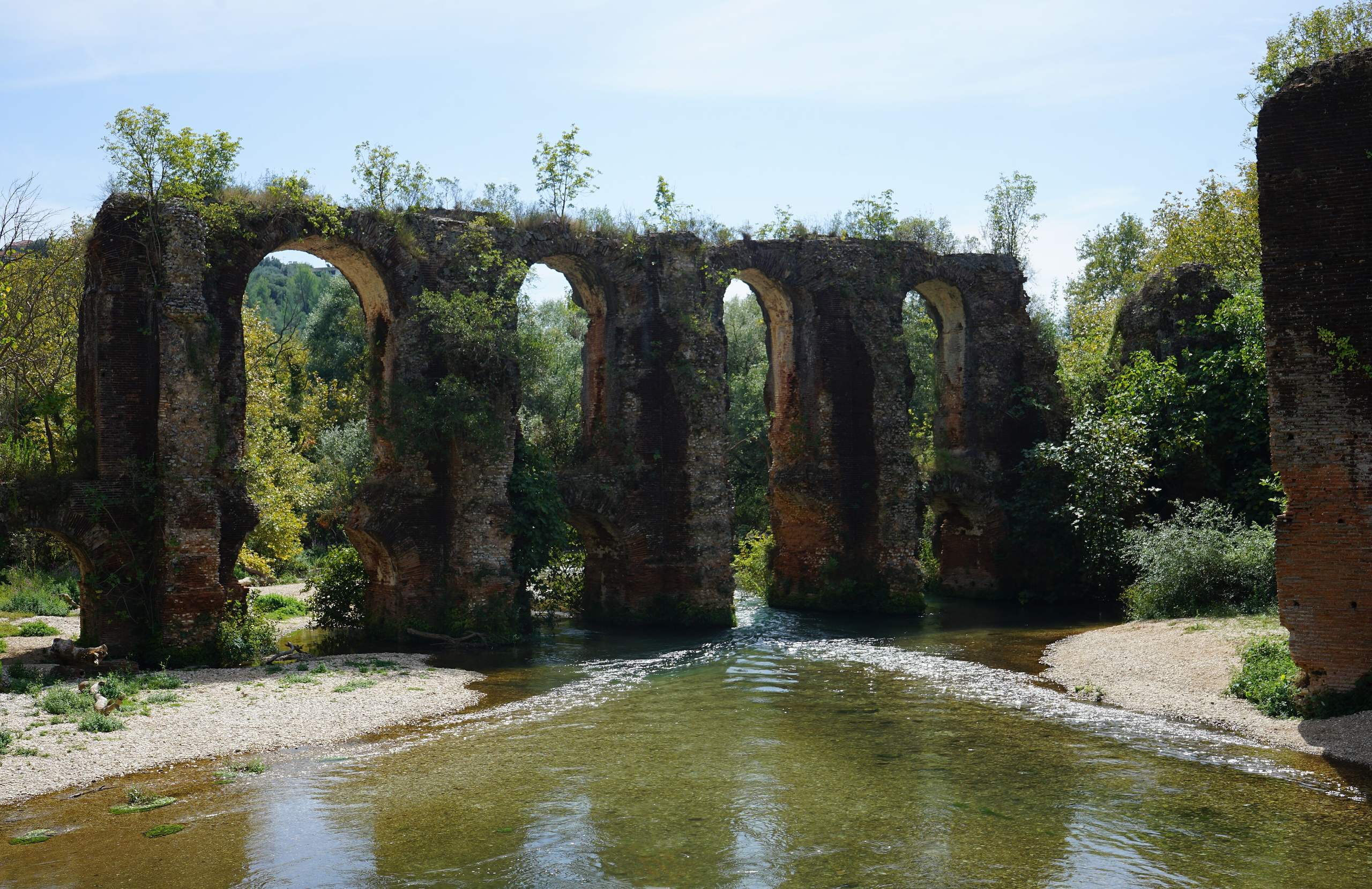
Rome tapped this river at its source. Sometime after 31 BC — traditionally under Augustus, though some scholars now argue for a later, Hadrianic date — engineers built an aqueduct almost 50 kilometres long to carry the spring water to Nikopolis, the city founded to mark the Battle of Actium. Tunnels, arches and pressure pipework carried the water across the terrain, and sections of it, including an arched bridge close to the springs themselves, still stand.
Further downstream, the river was once navigable by boat, and a 13th-century fortress, the Castle of Rogoi, was built above it during the Despotate of Epirus specifically to watch over that river traffic. It survives as one of the better-preserved Byzantine monuments in the region, free to enter, though the final stretch of road to reach it is unpaved.
Nature & Outdoors
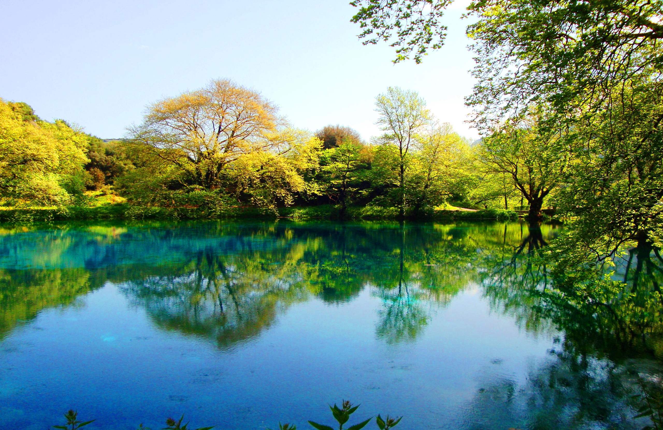
Near its source, the river forms deep, still, blue-green pools that are strikingly clear but very cold, and better suited to looking at than swimming in. This upper stretch and its canyon are also one of only two rivers anywhere recorded to hold the Greek lamprey, a fish now listed as endangered — a fact that means little to the eye but marks the river out scientifically.
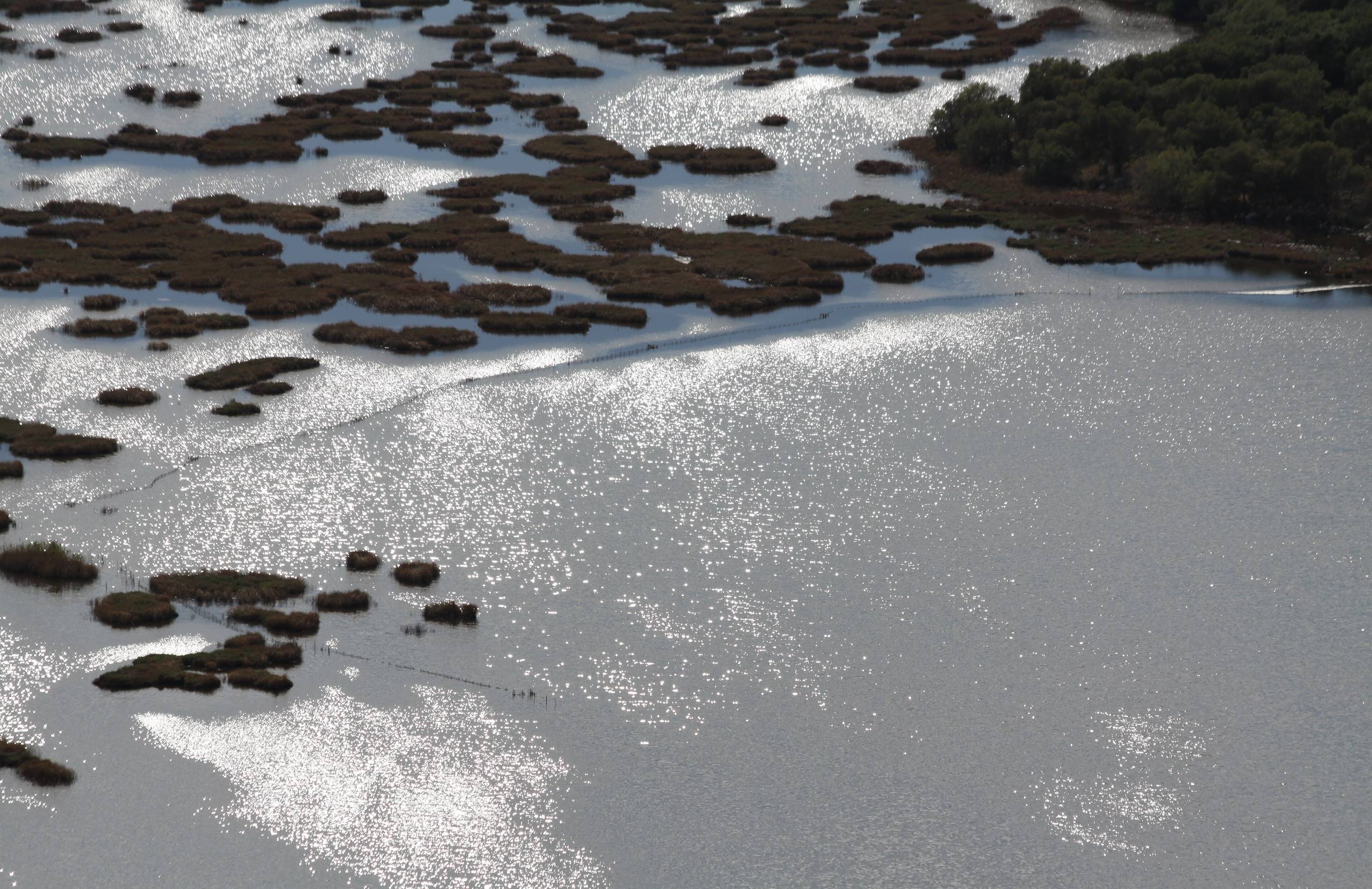
Where it reaches the coast, the Louros spreads into a delta shared with the Arachthos river, forming a chain of lagoons — Rodia, Tsoukalio and Tsopeli among them — that sits inside the wider Ambracian Gulf wetlands, Ramsar-protected since 1975. Dalmatian pelicans nest here alongside herons and cormorants, making the delta one of the more reliable places in Epirus for winter birdwatching.
Practical information
Getting around
The springs, the dam and the Castle of Rogoi are spread along the river's length rather than close together, so visiting more than one means driving between them. The castle itself is reached via the village of Nea Kerasounta, with the last stretch of road unpaved; the lagoons are flatter and easier driving, but have no marked route connecting them.
When to go
Spring brings the strongest flow and the clearest colour to the spring pools. Winter is best for the lagoons, when wintering waterbirds are at their most numerous; the aqueduct remains and the castle can be visited comfortably in any season.
Good to know
There's no entrance fee or set opening hours at the springs, the aqueduct remains or the castle. The spring pool is deep and genuinely cold, not somewhere to plan on swimming. Trout and eel, farmed using the river's own water along the old Ioannina–Preveza road, turn up on menus in the area's tavernas.
Louros River— been there?Tell others what you saw.
A photo and two lines are enough.
