Exploring the Arta Area


Arta sits on a loop of the Arachthos river in southern Epirus, where the mountains come down to a wide plain of orange groves.
It was Ambracia in antiquity, and for two centuries in the Middle Ages it was the capital of the Despotate of Epirus — which is why a town of this size holds some of the finest Byzantine churches in Greece.
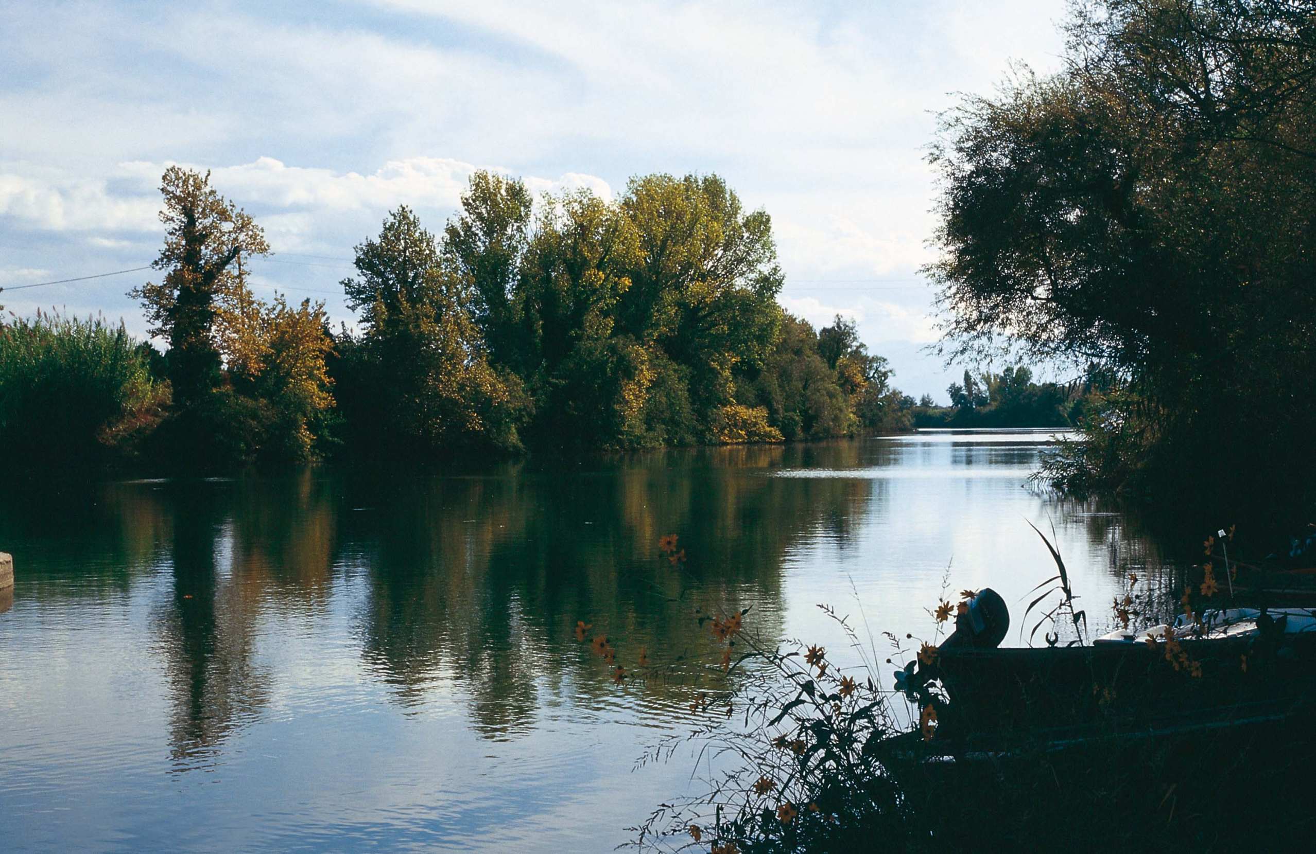
South of it the plain ends in the Ambracian Gulf, an almost closed sea of lagoons and reedbeds with its own resident population of dolphins. North and east rise the Tzoumerka mountains.
And on the edge of the town stands the bridge that every Greek child learns a song about.
History & Culture
The bridge
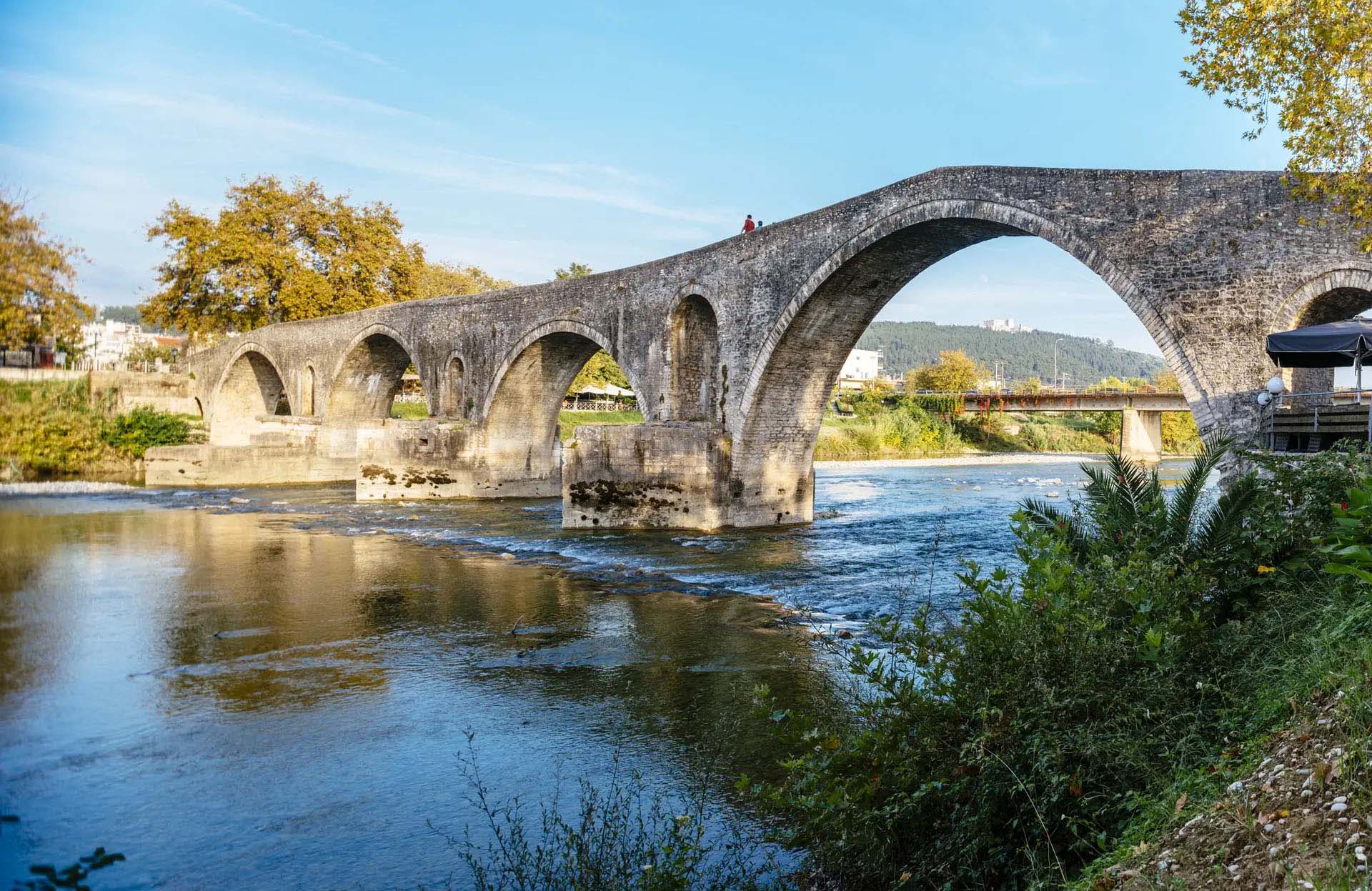
The stone bridge of Arta crosses the Arachthos at the western edge of the town. It is 145 metres long, less than four metres wide, and carried on four semicircular arches of noticeably different sizes. Its foundations suggest a crossing stood here in classical times; the bridge you see took its final form around 1612.
It is the most famous bridge in Greece, and not because of its engineering. A folk song tells that whatever the builders raised by day fell down at night, and that the bridge only stood after the master builder's wife was walled into its foundations. The song is taught in Greek schools, and its opening line — all day they built it, at night it fell down — has become a common expression for a job that never finishes.
In 1881, when Arta was handed to Greece, this bridge became the frontier between the Greek state and the Ottoman Empire.
The capital of the Despotate
After the Fourth Crusade destroyed Byzantium in 1204, a Greek state survived in Epirus, and Arta was its capital. Its rulers built, and much of what they built is still standing.
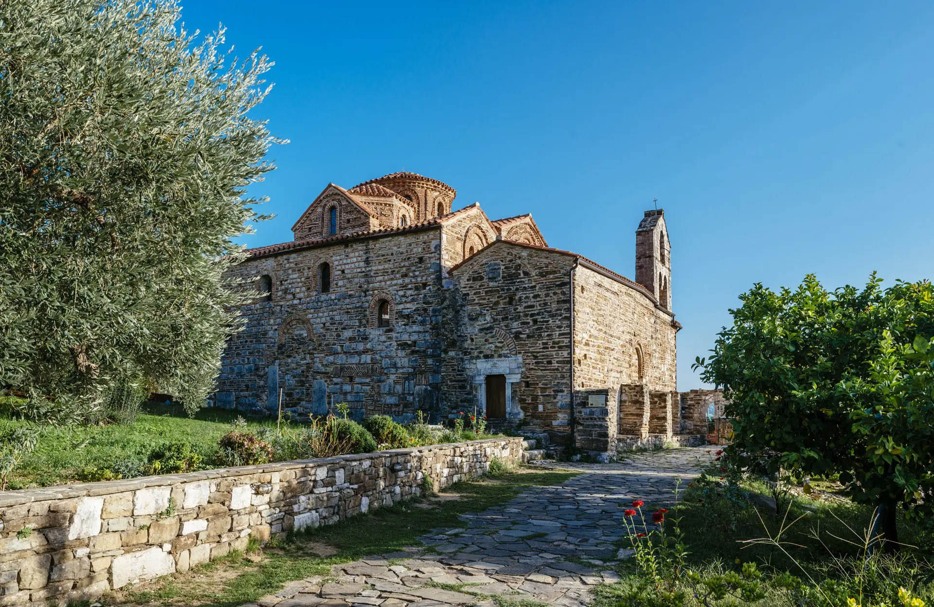
Panagia Parigoritissa dominates the town: a thirteenth-century church on the Peranthi slope, founded by Nikephoros I Komnenos Doukas and his wife Anna Palaiologina Kantakouzene. From the outside it looks like a palace rather than a church, and inside, its dome is carried on a system of columns stacked one above another that has no parallel in Greek architecture.
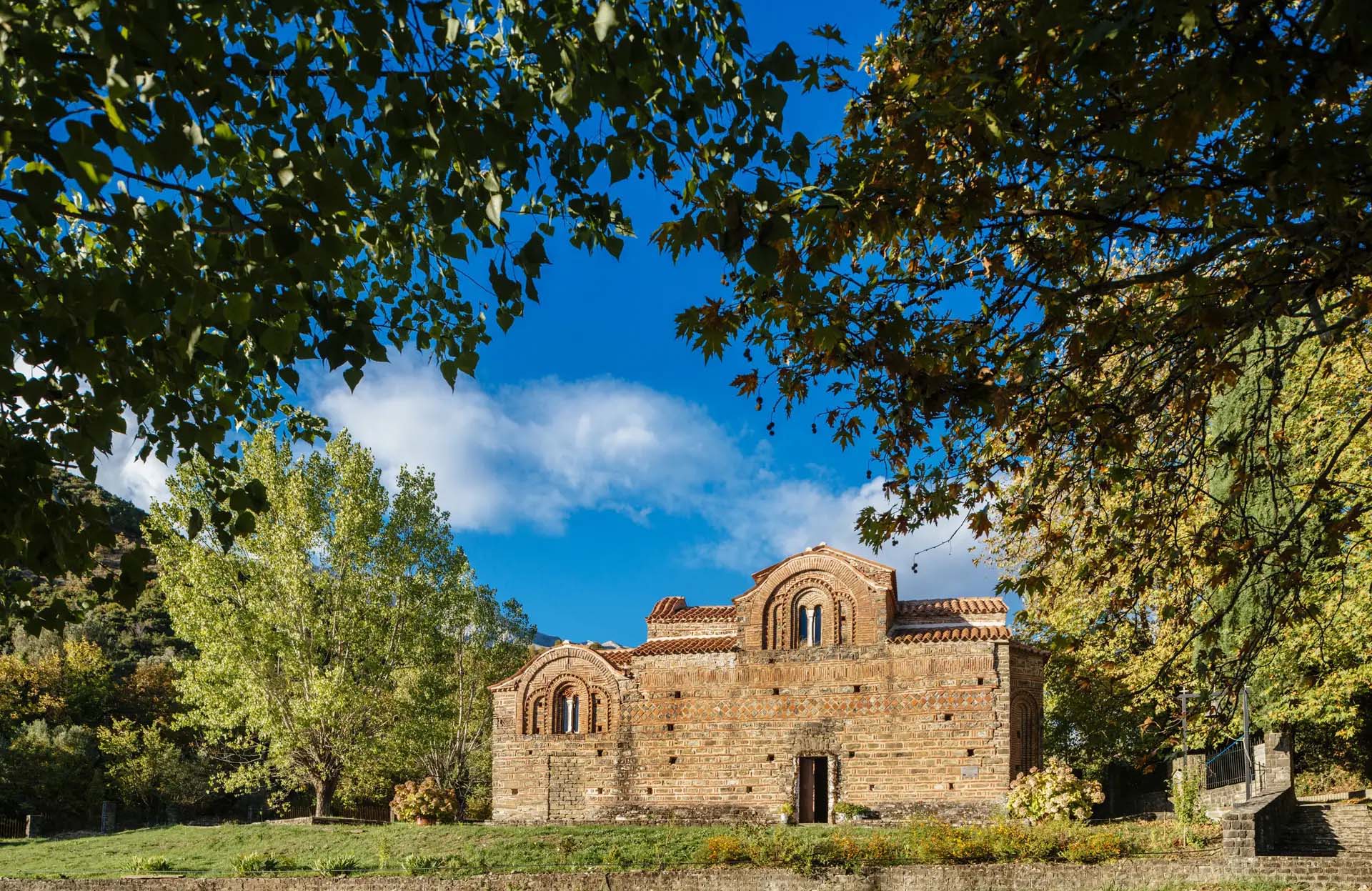
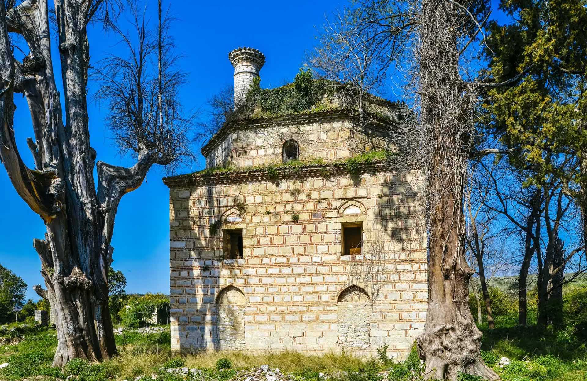
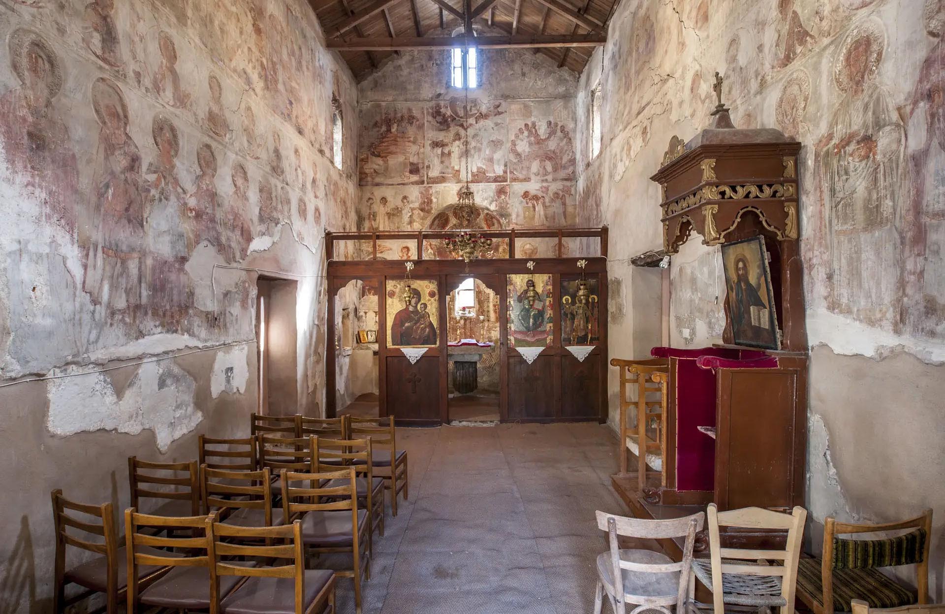
Around it are more: Agios Vasileios tis Agoras, a small late-fourteenth-century church covered in patterned brickwork; the Monastery of Kato Panagia, built by Michael II and still lived in by nuns; the Red Church at Vourgareli, named for the brick that decorates it; and Panagia Vlachernon at Vlacherna, across the river, founded at the end of the eleventh century and rebuilt by Michael II.
The Castle of Arta, also thirteenth-century, stands above the river on the site of the ancient acropolis.
Ambracia
Under the modern town lies the ancient city, which was the capital of King Pyrrhus of Epirus in the third century BC — the man whose costly victories gave English the phrase Pyrrhic victory.
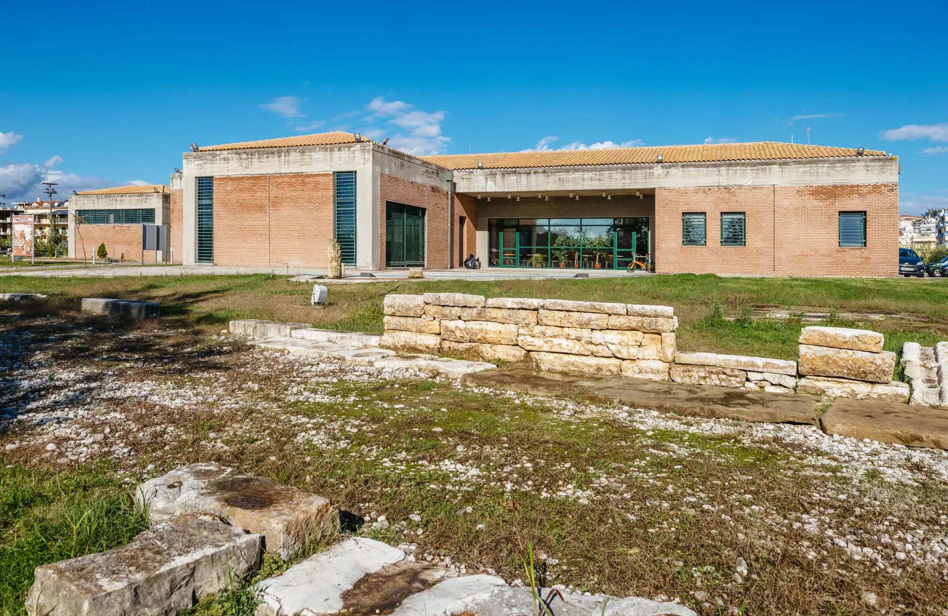
The Archaeological Museum, near the bridge, holds the finds: material from the Palaeolithic period through to Roman times, and a great deal from Ambracia itself.
Nature & Outdoors
The gulf
The Ambracian Gulf covers about 405 square kilometres and connects to the Ionian Sea through a channel three kilometres long and only a few hundred metres wide. That narrow opening is what makes it what it is: the water inside is brackish, warm in summer, and extraordinarily productive.
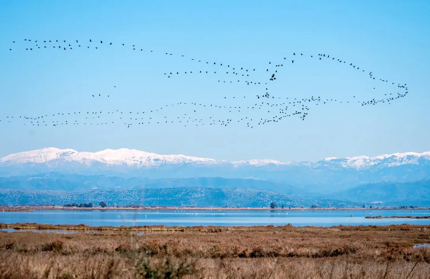
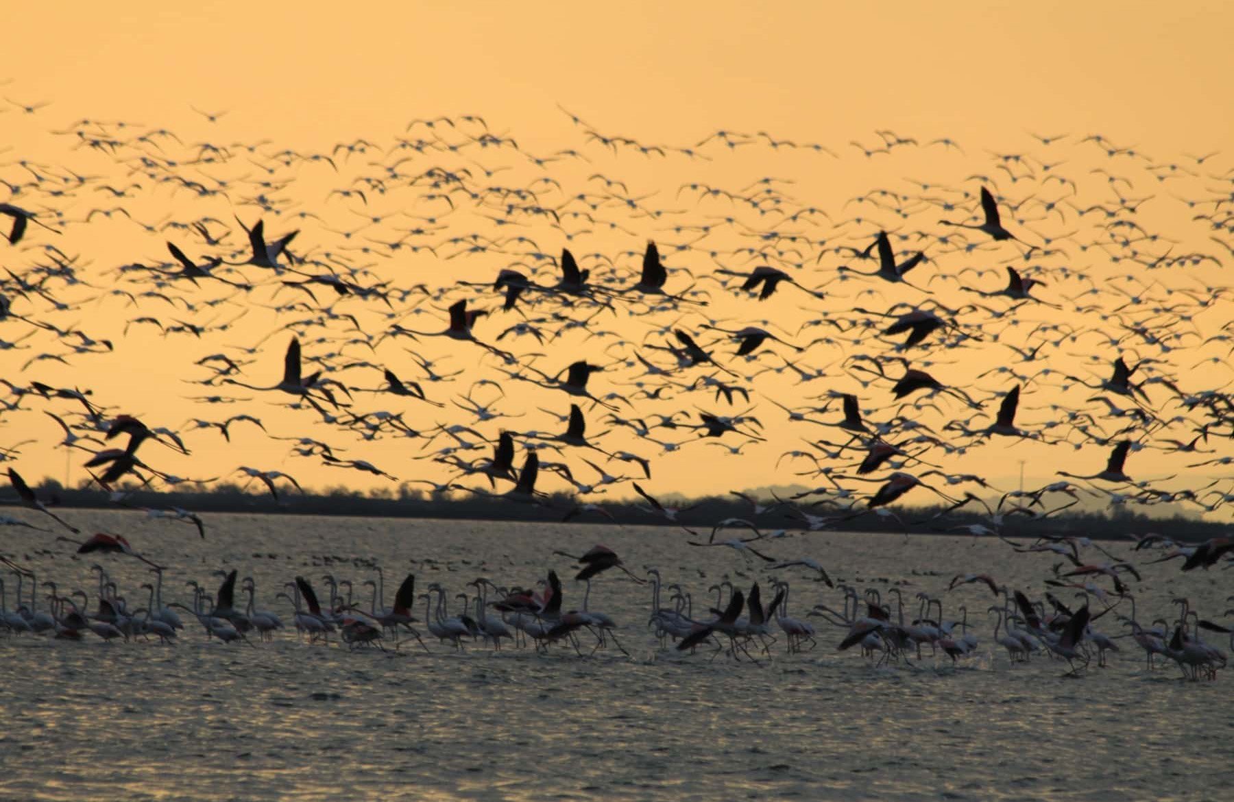
The Arachthos and the Louros rivers empty into its northern end and have built a wetland of twenty lagoons, reedbeds, salt marsh and riverside forest.
The northern lagoons were protected under the Ramsar convention in 1975, and the whole gulf became a national park in 2008.
The dolphins
The gulf holds a resident population of around a hundred and fifty bottlenose dolphins — one of the highest densities anywhere in the Mediterranean. They do not leave, and they do not mix much with populations outside.
Loggerhead turtles come in to feed. Around three hundred bird species have been recorded in the lagoons, and the Dalmatian pelican, a globally threatened bird, is here all year.
Boat trips run out to look for the dolphins, though nobody can promise them.
The mountains
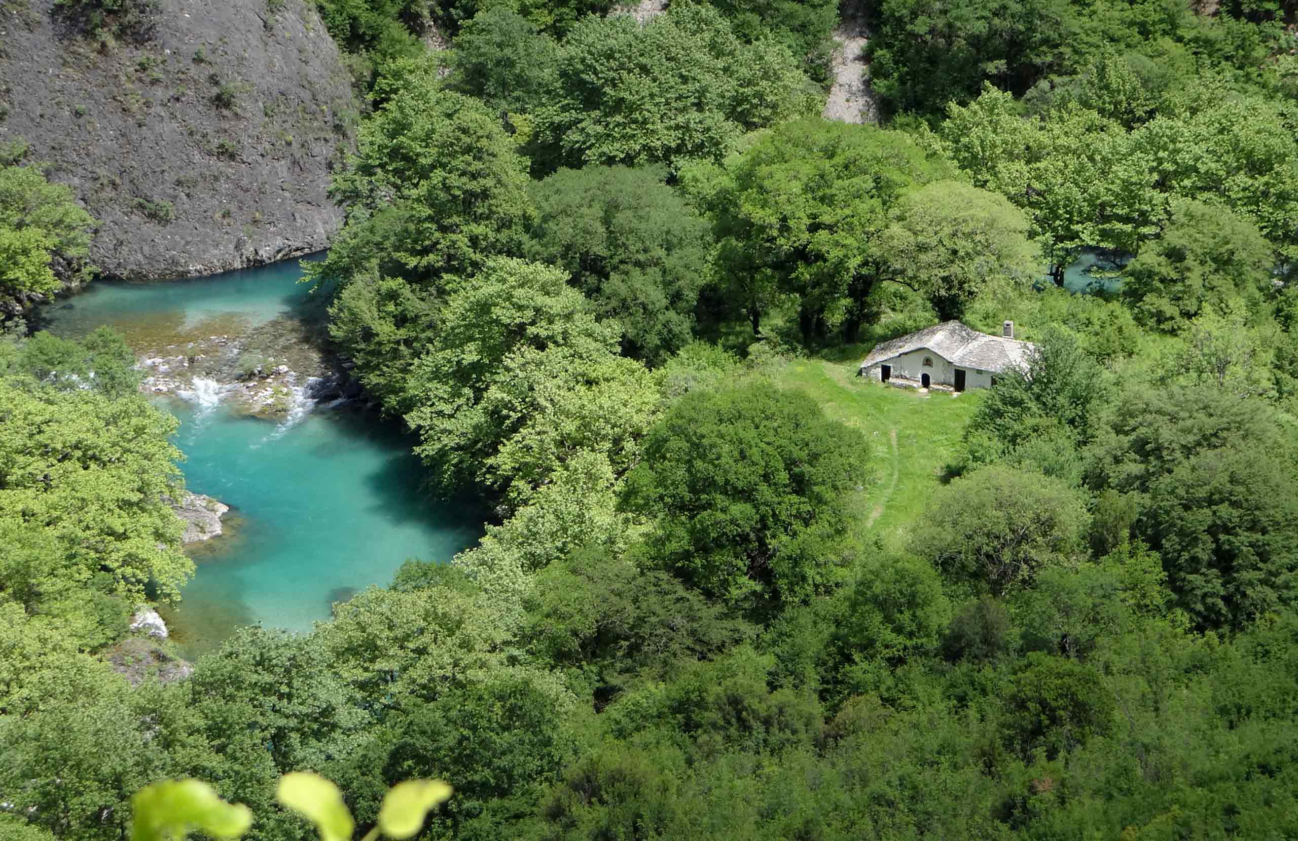
North and east of the plain, the Tzoumerka rise steeply as part of the Pindus range. This is a national park of gorges, waterfalls, stone bridges and fir forest, and the Arachthos runs down through it before it reaches the plain.
Villages & Inland
Koronisia is the one to see. It sits on an islet in the lagoons, reached by a long causeway across the water, with a Byzantine church and a few tavernas. Herons stand in the shallows on both sides of the road.
Kommeno, Salaora and Kopraina are the other settlements on the gulf. Kopraina was built in 1896 as the first port of free Epirus, at a time when Arta was Greek and Preveza was still Ottoman, and it worked until 1945.
In the mountains, Vourgareli is the largest village, with the Red Church nearby, and Theodoriana and Athamanio sit higher up among fir woods and waterfalls.
Activities
The Arachthos is one of the better rivers in Greece for rafting and kayaking, and the sections through the Tzoumerka gorges are run commercially through the spring and early summer.
Dolphin-watching cruises leave from the harbours on the gulf.
The Tzoumerka National Park has marked paths, and the old stone bridges are the usual objective.
Food & Drink
The gulf produces two things people travel for: Ambracian shrimp, small and sweet and usually eaten simply, and avgotaracho, salted and waxed grey mullet roe, which is sometimes called Greek caviar. Both come from the lagoons.
The plain around Arta is planted with oranges, and the fruit is used for spoon sweets, marmalade and liqueur.
Epirus is dairy country, so expect good feta and hard sheep's cheeses, pies with hand-rolled pastry, and kontosouvli — pork on a long spit, cooked slowly.
Where to Stay
Prices shown per night for a sample 3-night stay. Rates and availability vary by season — select your dates for live pricing.
Practical information
Getting there
Arta is about 380 km from Athens and roughly 150 km from Ioannina, on the Ionia motorway. The nearest airports are at Preveza (Aktion), about 50 km away, and Ioannina. KTEL buses run from Athens, Ioannina and Thessaloniki.
Getting around
The town centre is walkable — the bridge, the Parigoritissa, the castle and the museum are all within twenty minutes on foot.
A car is needed for everything else. The gulf villages are twenty to thirty kilometres south, the mountain villages an hour or more into the Tzoumerka on winding roads.
When to go
Spring and autumn are the best seasons: the mountains are green, the rivers are running, and the wetland birds are at their most numerous.
Rafting on the Arachthos works best in spring, when the water is high. Winter is the season for the pelicans and the wintering waterbirds on the gulf.
Summer is hot on the plain, though the mountains stay cool.
Good to know
Check the opening hours of the Byzantine churches before setting out. Several are kept locked and are opened on request, and the ones outside the town keep short hours.
Bring binoculars and insect repellent for the lagoons. The mosquitoes are serious in summer.
The road out to Koronisia runs across open water for several kilometres and is exposed in bad weather.
Book dolphin cruises ahead in July and August; they do not run every day.
This is not a beach destination. The whole coastline of Arta is the northern Ambracian Gulf — lagoon, reedbed and mudflat, not open sea. For swimming, the nearest proper beaches are on the Ionian coast around Preveza and Parga, an hour or more west.
Exploring the Arta Area— been there?Tell others what you saw.
A photo and two lines are enough.
