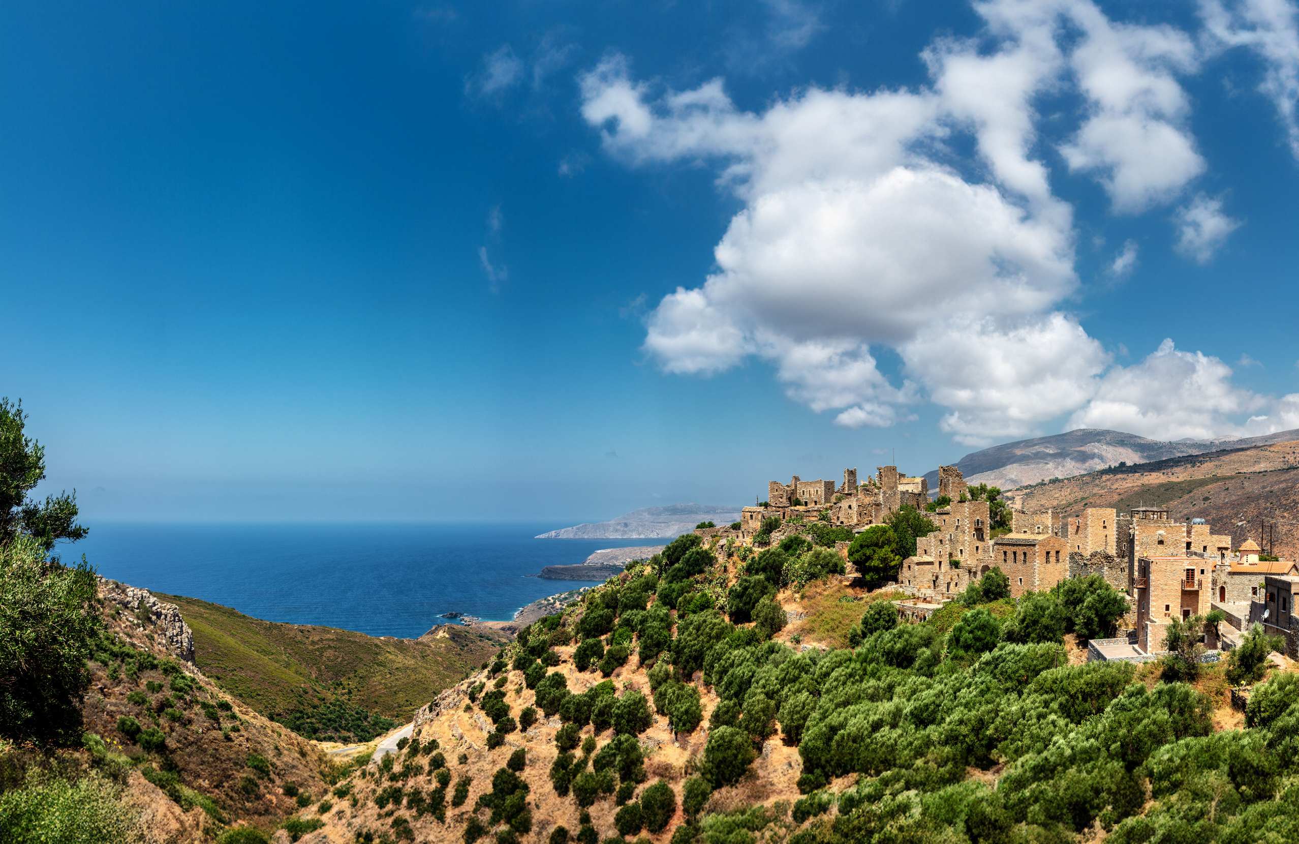
The Mani is the middle of the three peninsulas that hang from the southern Peloponnese — a spine of bare limestone running down to the sea, with almost no soil on it.
It is divided into three parts, and it crosses an administrative boundary. Exo Mani, in the northwest, belongs to Messenia: it is greener, it has the beaches, and Kardamyli and Stoupa are its towns. Kato Mani, around Gythio, and Mesa Mani, the southern half, both belong to Laconia. Mesa Mani is the one people mean when they talk about the Mani: rock, cactus, and tower houses standing empty on the hillsides.
Around eight hundred towers, ninety-six stone villages and well over a thousand Byzantine churches have been recorded here. The Ottomans never settled in the Mani, which is why so much of it survives unaltered — and why the Greek revolution was declared here a week before it started anywhere else.
What travellers posted

Been here? A photo and two lines are enough.
History & Culture
The towers
The tower houses are the reason the Mani looks like nowhere else in Greece. They are stone, up to twenty metres high, four or five storeys, with very small windows and very low doors.
They were built against pirates and invaders. But they were also built against each other. Maniot society ran on extended families, and disputes between them became vendettas that could last generations and were fought from the towers. A family's tower was the measure of its standing, and its height was the measure of its power. Bringing one down meant bringing the family down with it.
Vatheia, seven kilometres north of Cape Tainaron on a hill at 174 metres, is the one everybody photographs: at least seventy towers packed together, most of them now empty. It is first mentioned in 1571 by a Venetian survey. Local tradition holds that all its towers belonged to just four families, which the presence of four olive presses may support.
The churches
Because Ottoman settlers never established themselves here, the churches of the Mani were neither destroyed nor converted. More than 1,800 Byzantine and post-Byzantine churches have been recorded, most of them small, many of them with their wall paintings intact. Mesa Mani has the greatest concentration, and the density has no parallel in Greece.
Among the most important are the Sotiras at Gardenitsa, Ai-Stratigos at Boulari, and Agioi Sergios and Vakchos at Kitta, of the early twelfth century. In Areopoli, the church of the Taxiarches is where the fighters gathered in 1821.
1821
On 17 March 1821, the captains of the Mani assembled at Areopoli — then called Tsimova — under Petrobey Mavromichalis, raised the banner and declared war on the Ottomans. That was about a week before the official start of the revolution, and the town still marks the date every year.
Cape Tainaron
The southern tip of the peninsula is the southernmost point of mainland Greece.
In antiquity a cave here was understood to be the gate to Hades — the opening through which Heracles dragged Cerberus into the light — and a nekromanteion, an oracle of the dead, operated beside it. A Roman mosaic floor is still in place on the ground, along with the remains of baths and a small chapel built from ancient stone on top of the sanctuary.
A lighthouse built by French engineers in the nineteenth century stands at the end, half an hour's walk from where the road stops.

Villages & Inland
Areopoli is the historic centre of the Mani: stone lanes, tower houses, a Byzantine museum in one of them, and the churches of 1821.
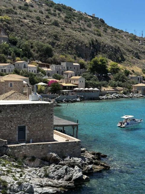
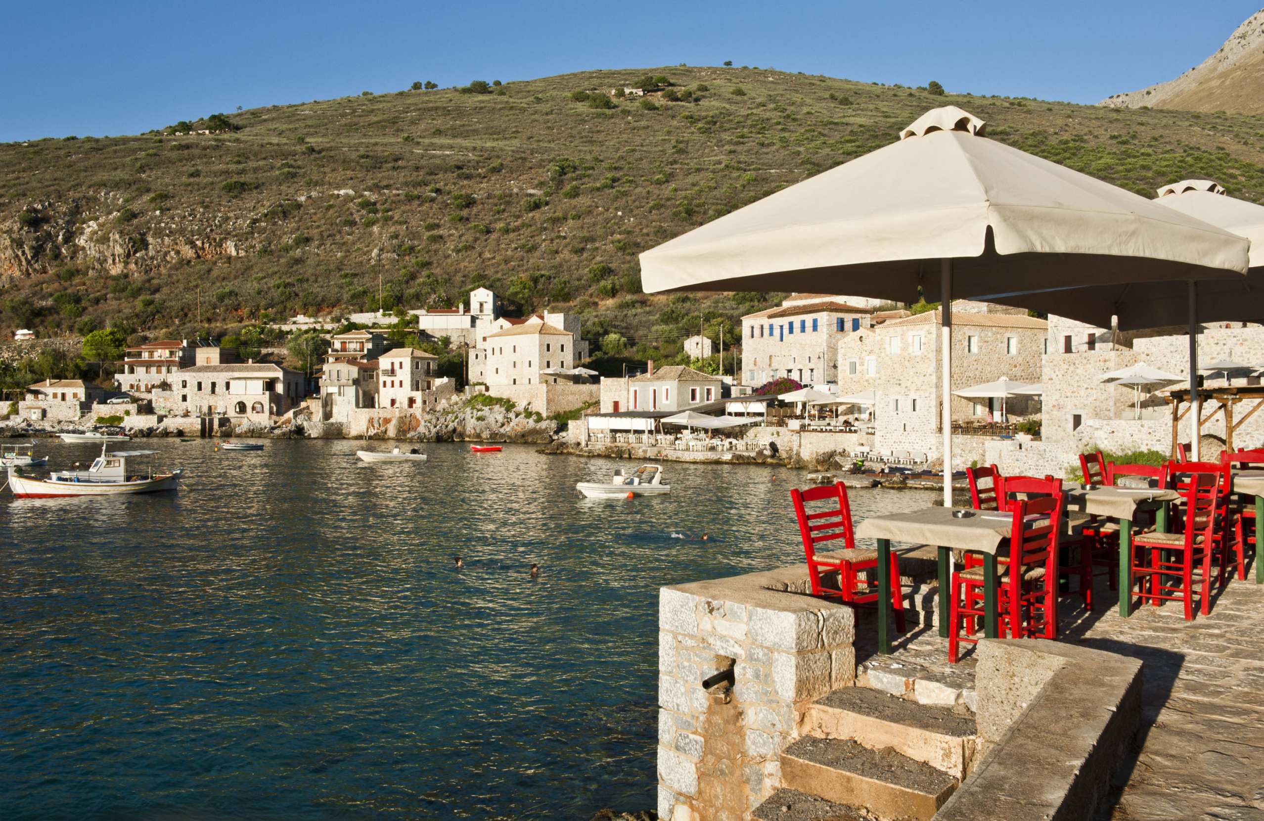
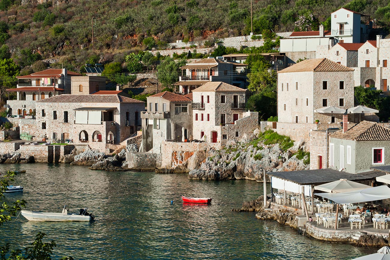
Limeni, below it on the water, is a handful of stone houses around a small bay with very clear water, and the tower of the Mavromichalis family.
Gerolimenas looks older than it is — a merchant built it around 1870 as a shipping point for goods leaving the Mani, including, it is said, quail for the French market.
Vatheia is the tower village, and Kitta, Lagia and Boulari are the ones to stop at for the churches.
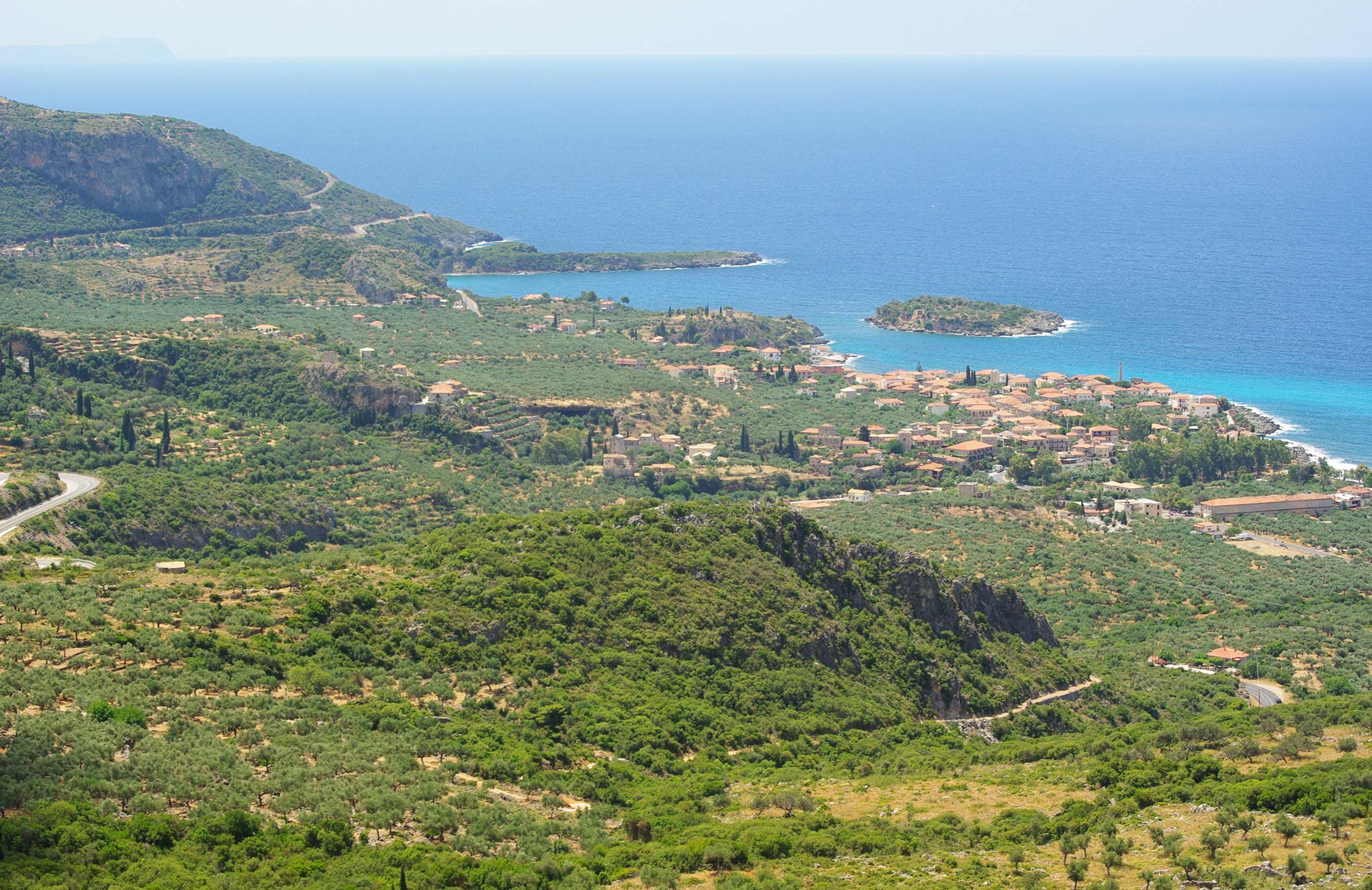
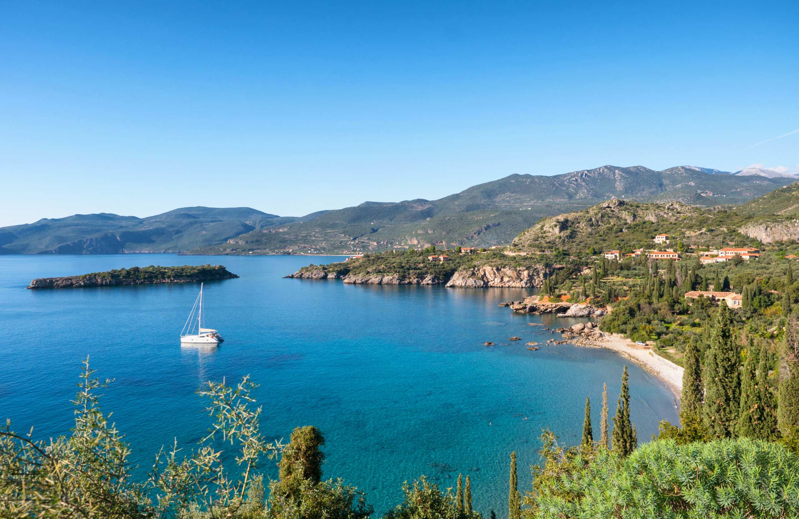
In Exo Mani, which is administratively part of Messenia, Kardamyli and Stoupa are greener and more comfortable, with beaches and a longer season. Above them, Kastania, Tseria and Milia sit on the slopes of Taygetos.
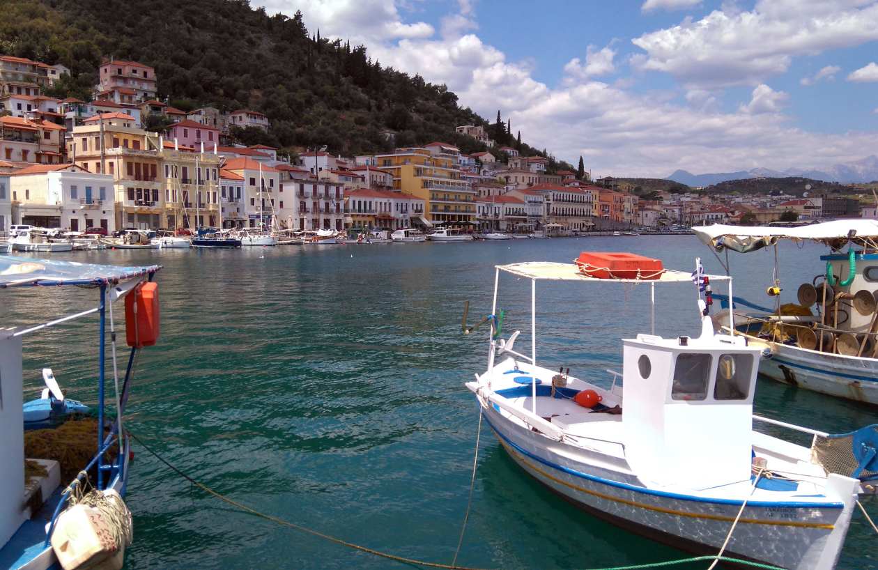
Gythio, on the eastern side, is the port town — neoclassical houses stacked above the waterfront, and the islet of Kranai joined to it by a causeway.
Nature & Outdoors
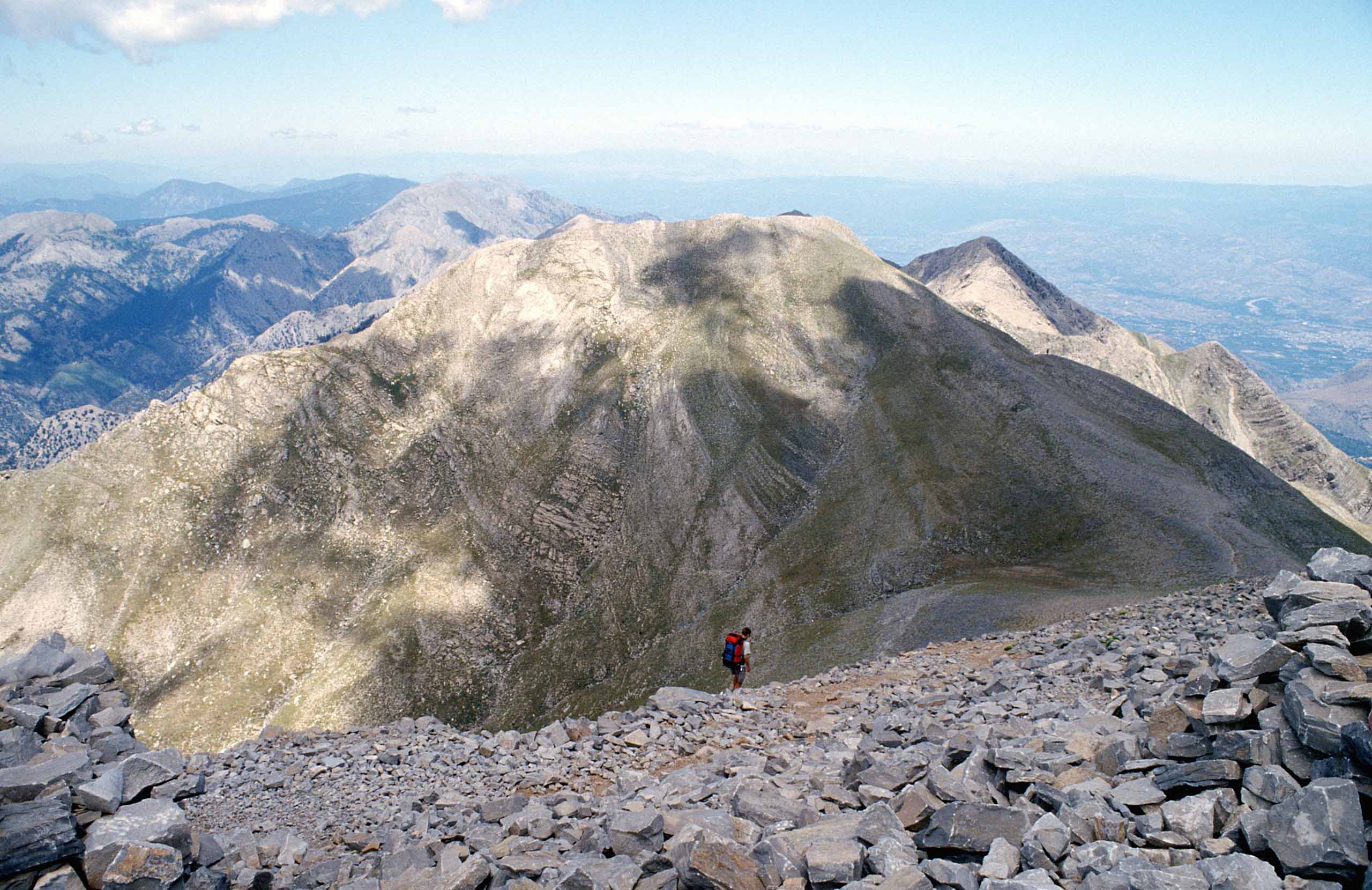
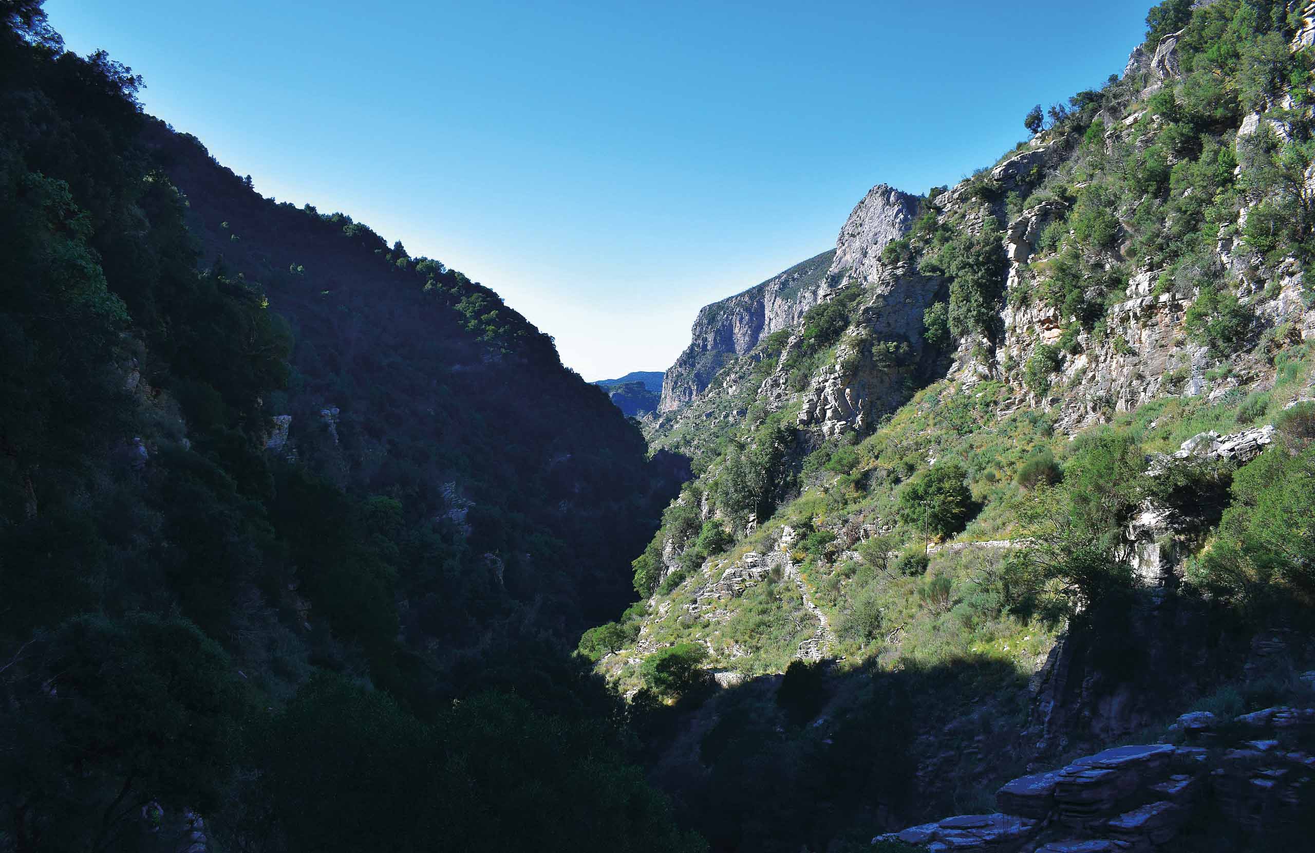
The Taygetos range runs down the spine of the peninsula and reaches its highest point at Profitis Ilias. The Viros Gorge, which comes down to the sea at Kardamyli, is the best-known walk in the Mani, and old stone paths connect the mountain villages above it.
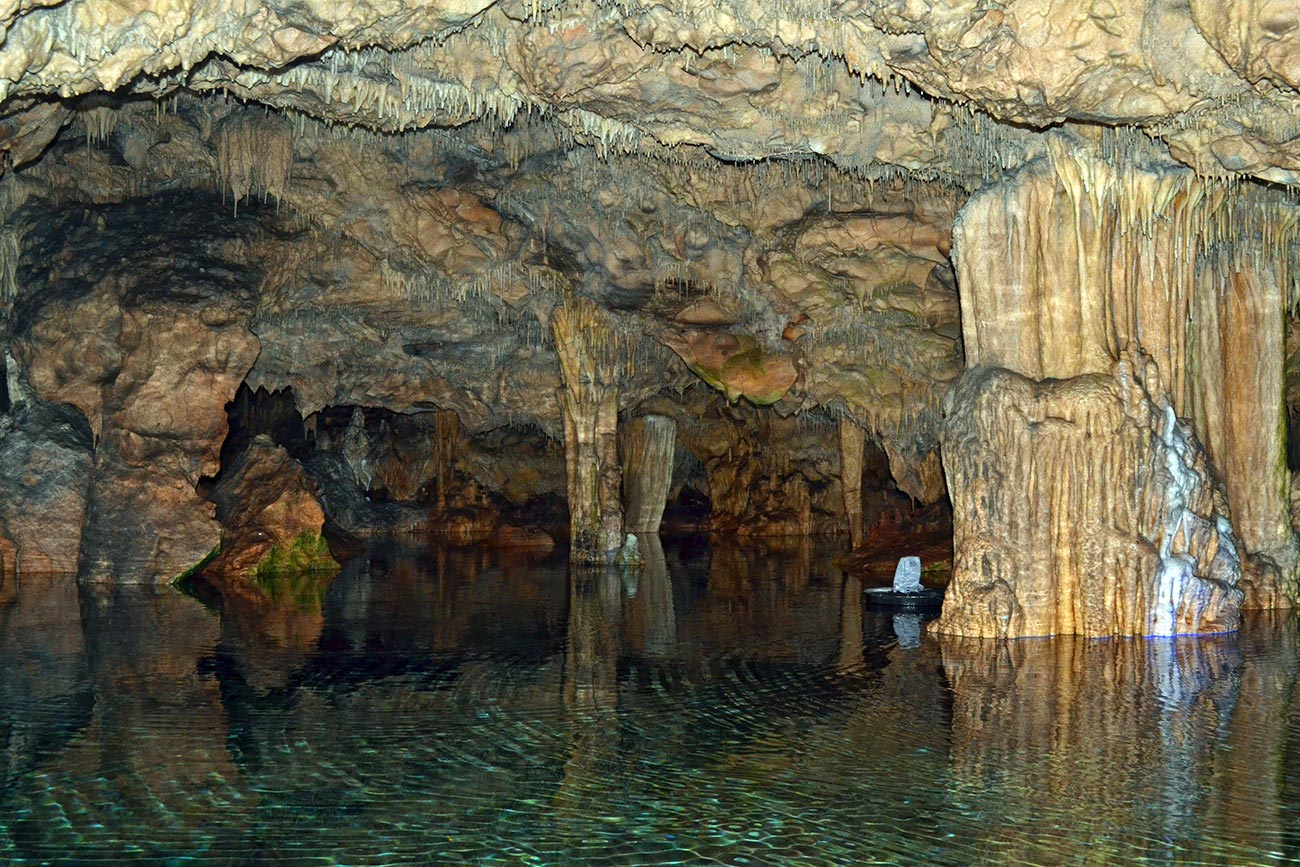
Hundreds of caves open in the limestone, and the largest of them, the Diros Caves, are visited by boat along an underground river.
The coast is rock rather than sand for most of its length, and the water off it is exceptionally clear.
Beaches
The Mani is a rocky coast with beaches in the gaps.
The sandy ones are at the two ends. Stoupa, in Exo Mani, is the most organised — fine sand, shallow water, family beach. Kalogria beside it is smaller. Mavrovouni, south of Gythio, is a long sandy beach open to the wind and used by windsurfers.
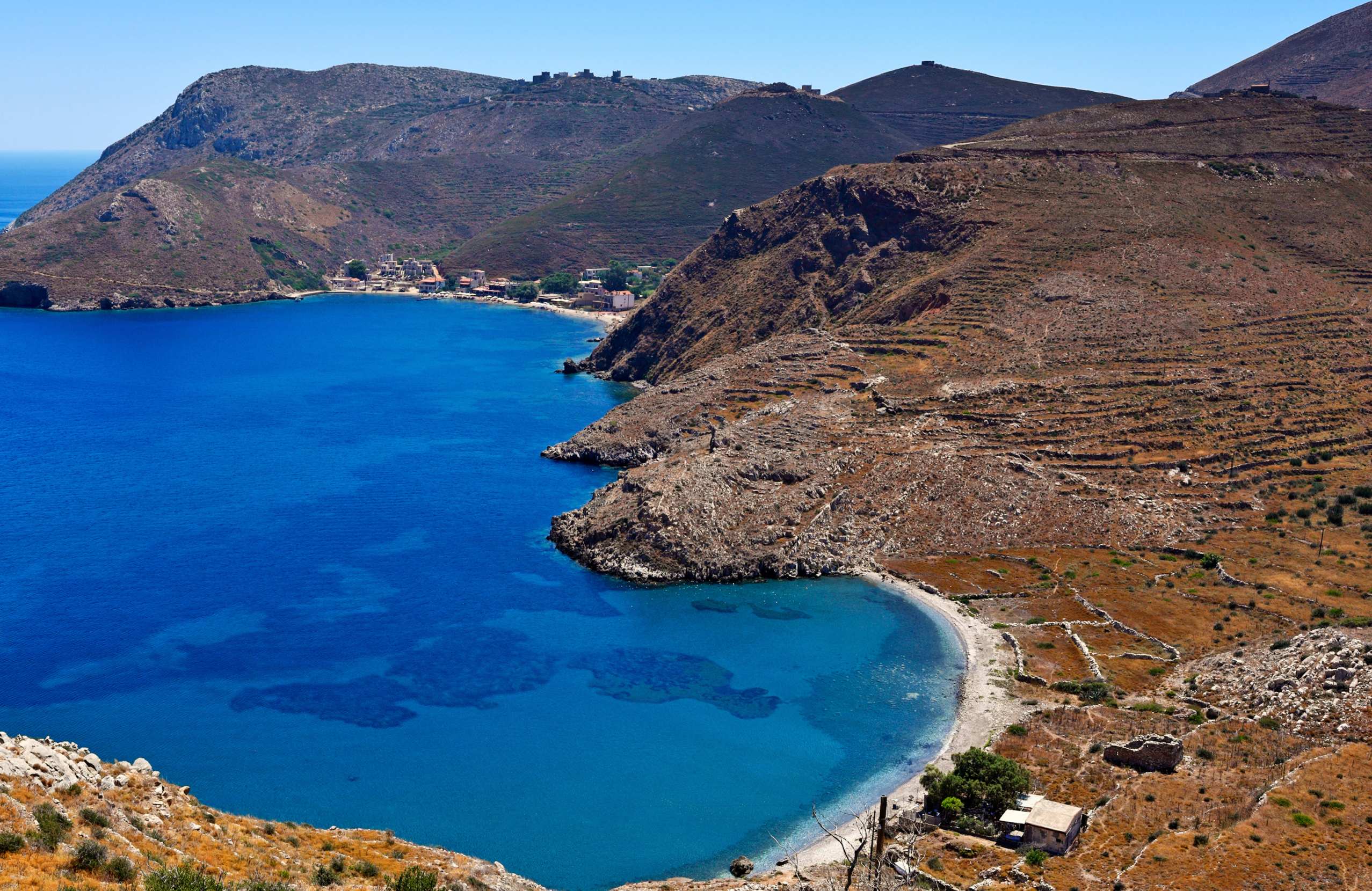
Everything between is pebble and rock. Kardamyli and Foneas are pebble with clear deep water, and Foneas in particular is known for the large rock standing in the middle of it. In Mesa Mani the swimming is off rocks and out of small coves, and Porto Kagio, near the tip, is a closed bay with a couple of tavernas.
Food & Drink
The Mani produces olive oil and not much else, and the oil is the point. The trees grow on terraces cut into rock, in poor soil and hard conditions, which is exactly what produces good oil.
The other things to look for are syglino — pork smoked over aromatic wood and preserved — lalangia, strips of fried dough eaten at feasts, and sfela, a hard, sharp sheep's cheese from the wider Messenian region.
Wild greens, herbs and honey come off the mountain, and the coastal villages cook fish and octopus.
Where to Stay
Prices shown per night for a sample 3-night stay. Rates and availability vary by season — select your dates for live pricing.
Practical information
Getting around
A car is essential. The roads are narrow, winding and often single track, and the distances take much longer than they look — Kardamyli to Cape Tainaron is around a hundred kilometres and most of a day if you stop.
Many of the Byzantine churches are down unmarked tracks, and most are locked. A good map matters here.
When to go
April to June and September to October are the right months. Mesa Mani has almost no shade and no water, and July and August are punishing.
Spring is when the terraces flower and the walking is best. Winter is mild on the coast but many places close.
Good to know
Bring water everywhere. Mesa Mani is a limestone desert and there is very little between villages.
The churches are locked. Some villages keep a key with a resident, and asking usually works, but do not count on getting into any particular one.
The towers are private property or unstable, or both. Vatheia can be walked through but not entered.
The last stretch to Cape Tainaron is on foot, about half an hour each way over rough ground, with no shade.
Exploring the Mani Area— been there?Tell others what you saw.
A photo and two lines are enough.
