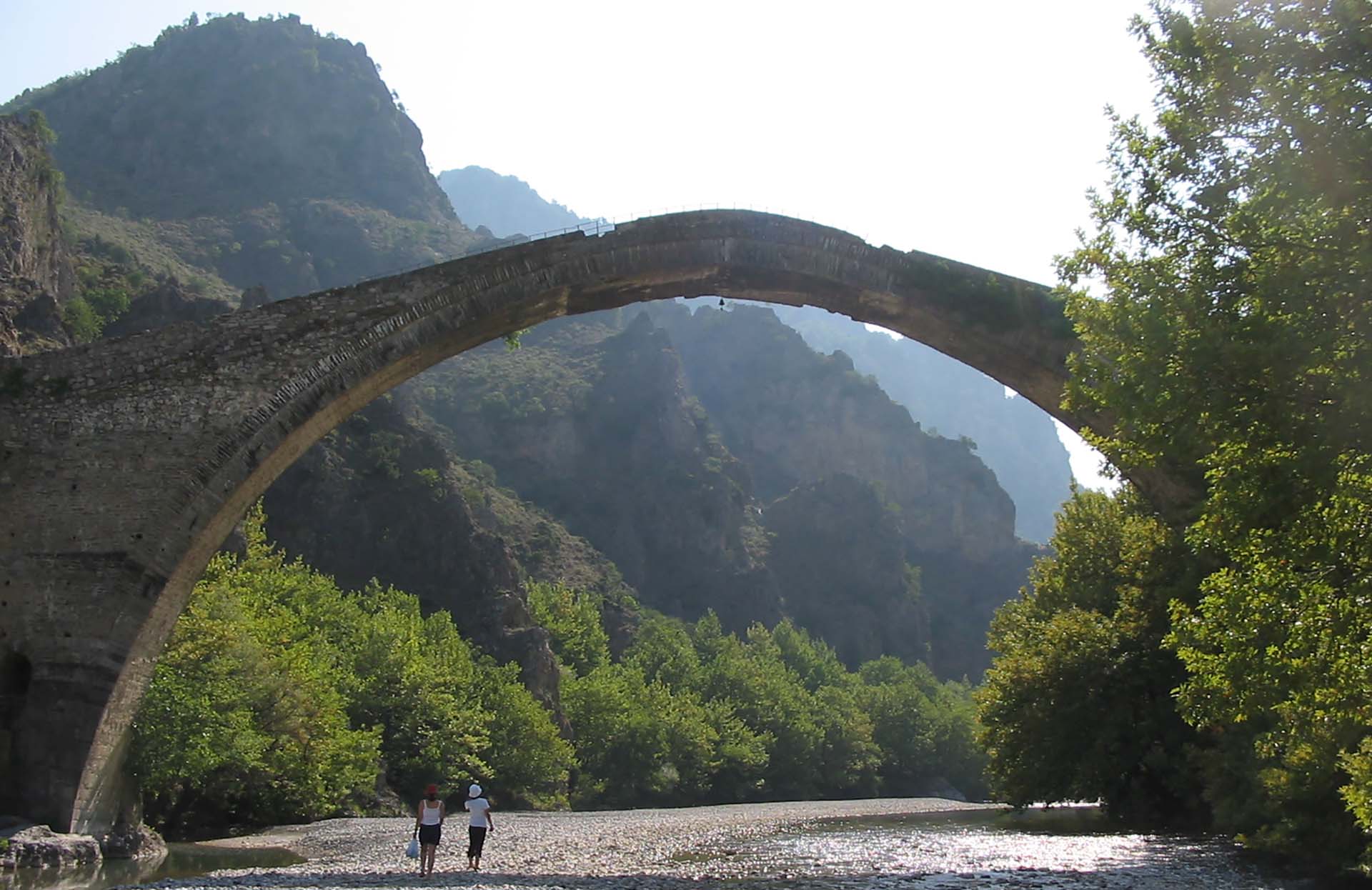
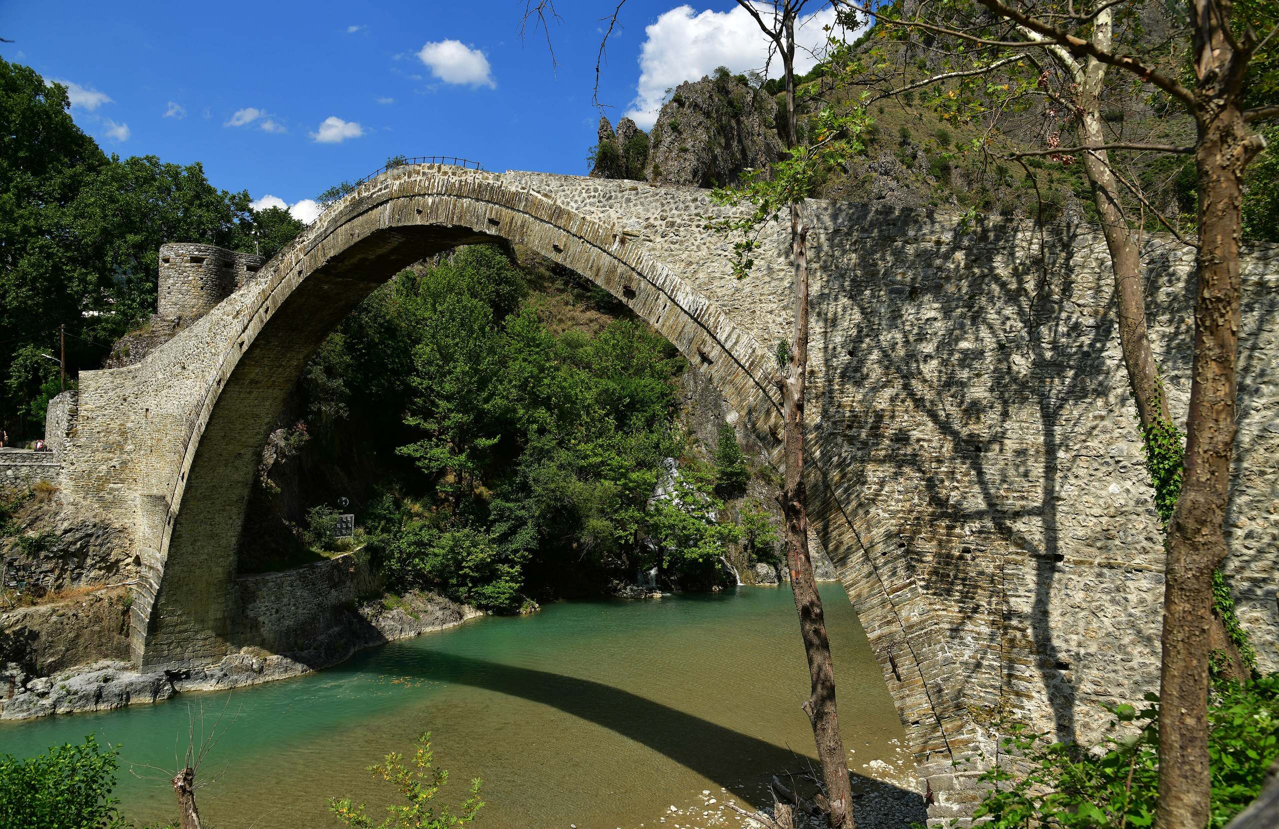
The Aoos River rises in the Pindus mountains of Epirus, near Metsovo, and flows north-west to Albania, where it is called the Vjosa. About 70 to 80 kilometres of its course are in Greece. The easiest place to see the river is Konitsa, a small town near the border. There the Aoos comes out of a gorge between Mount Tymfi and Mount Smolikas, under a single-arch stone bridge built in 1870. A marked path leads from the bridge through the gorge to the Stomio monastery in about two hours. In spring, companies based in Konitsa run rafting and kayaking trips on the river. Higher up, the Aoos passes through the forests of the Northern Pindos National Park and the village of Vovousa. The Voidomatis River joins it below Konitsa.
Geography
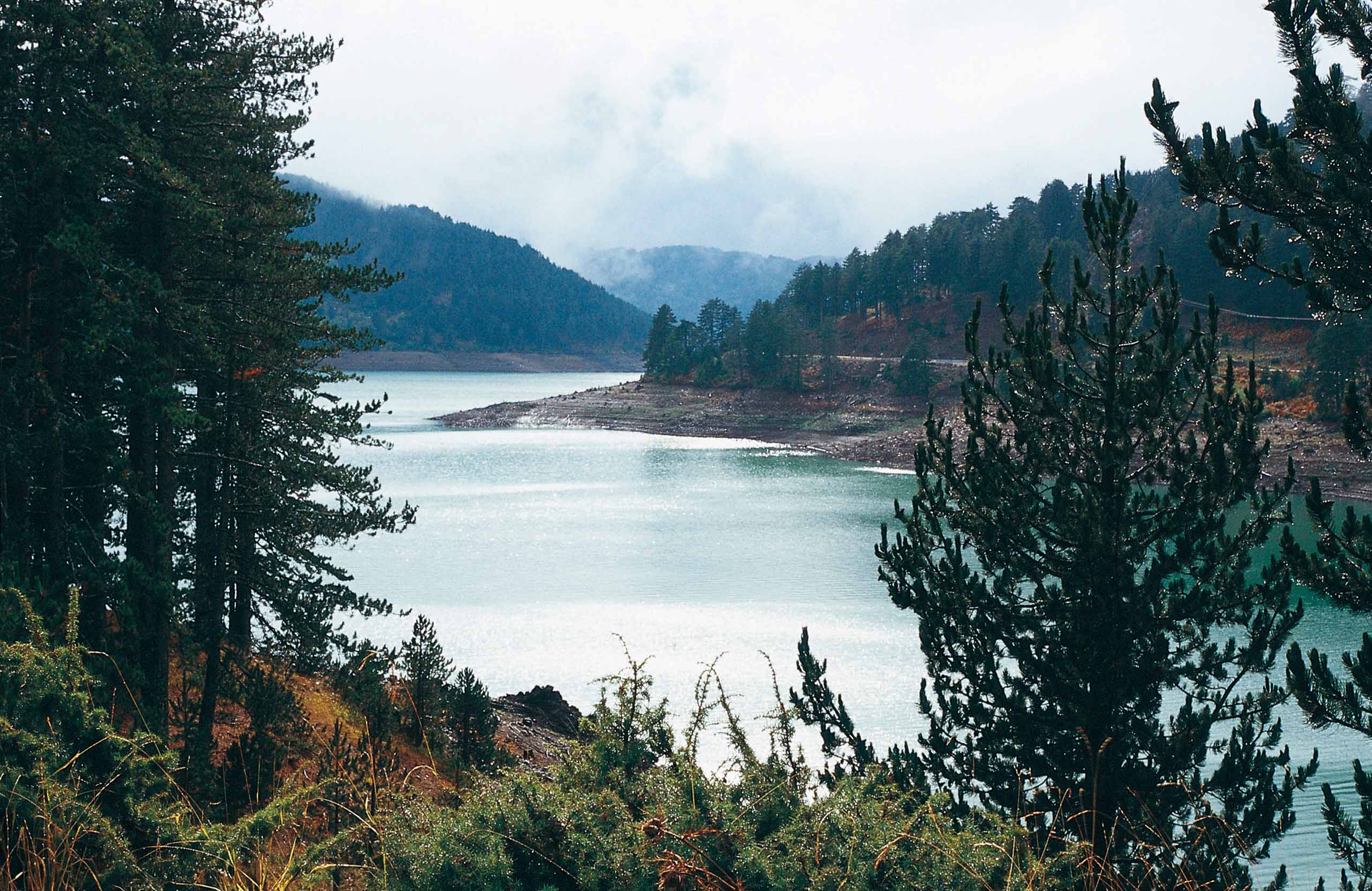
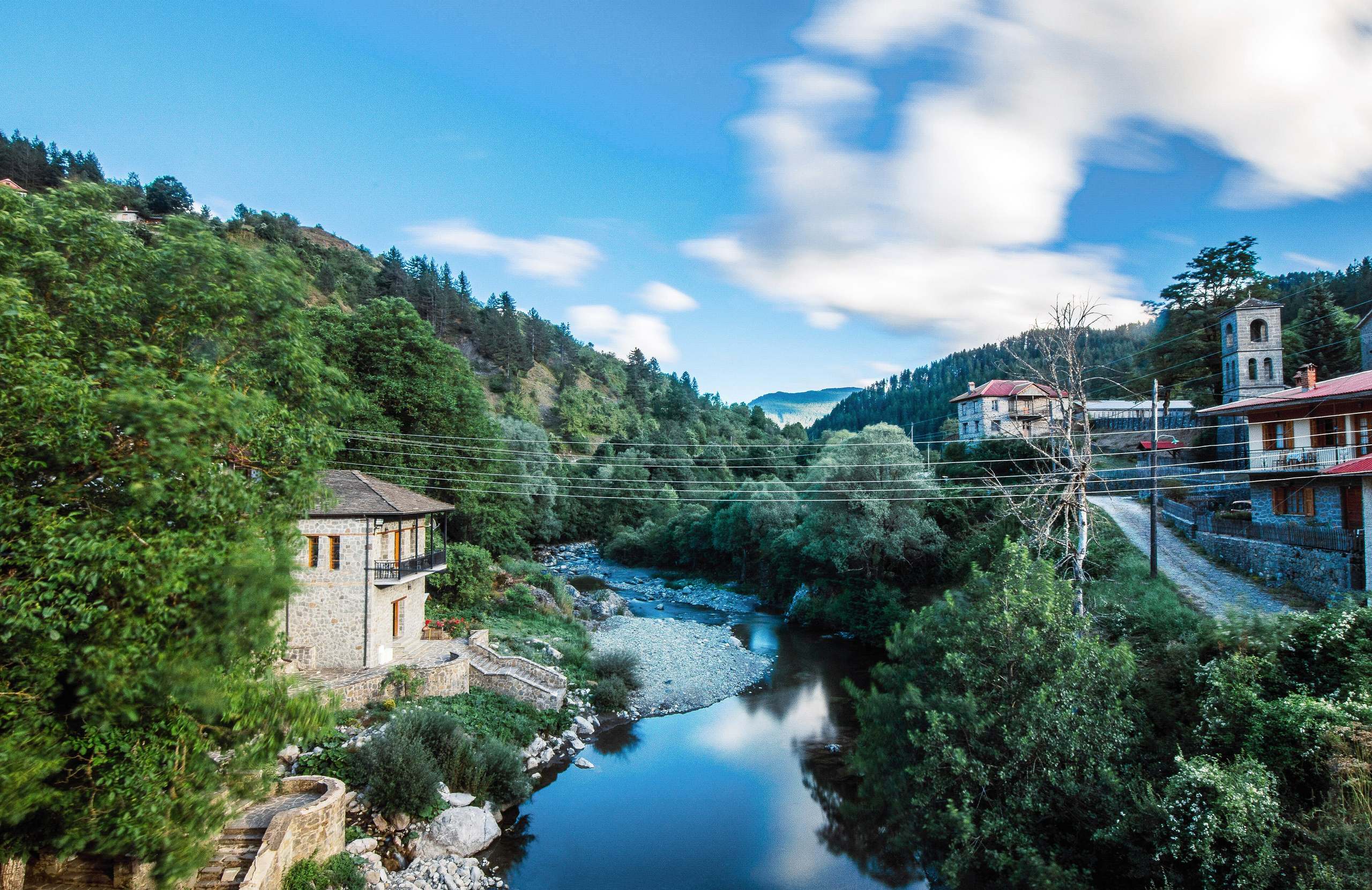
The Aoos rises in the Pindus mountains near Metsovo, a mountain town in Epirus. Its first waters are held in the Aoos Springs Lake, a reservoir at about 1,350 metres that was made by a dam in the 1980s. From there the river flows north-west for 70 to 80 kilometres inside Greece. It passes through Vovousa, a village that it cuts in two, and then runs between Mount Smolikas to the north and Mount Tymfi to the south.
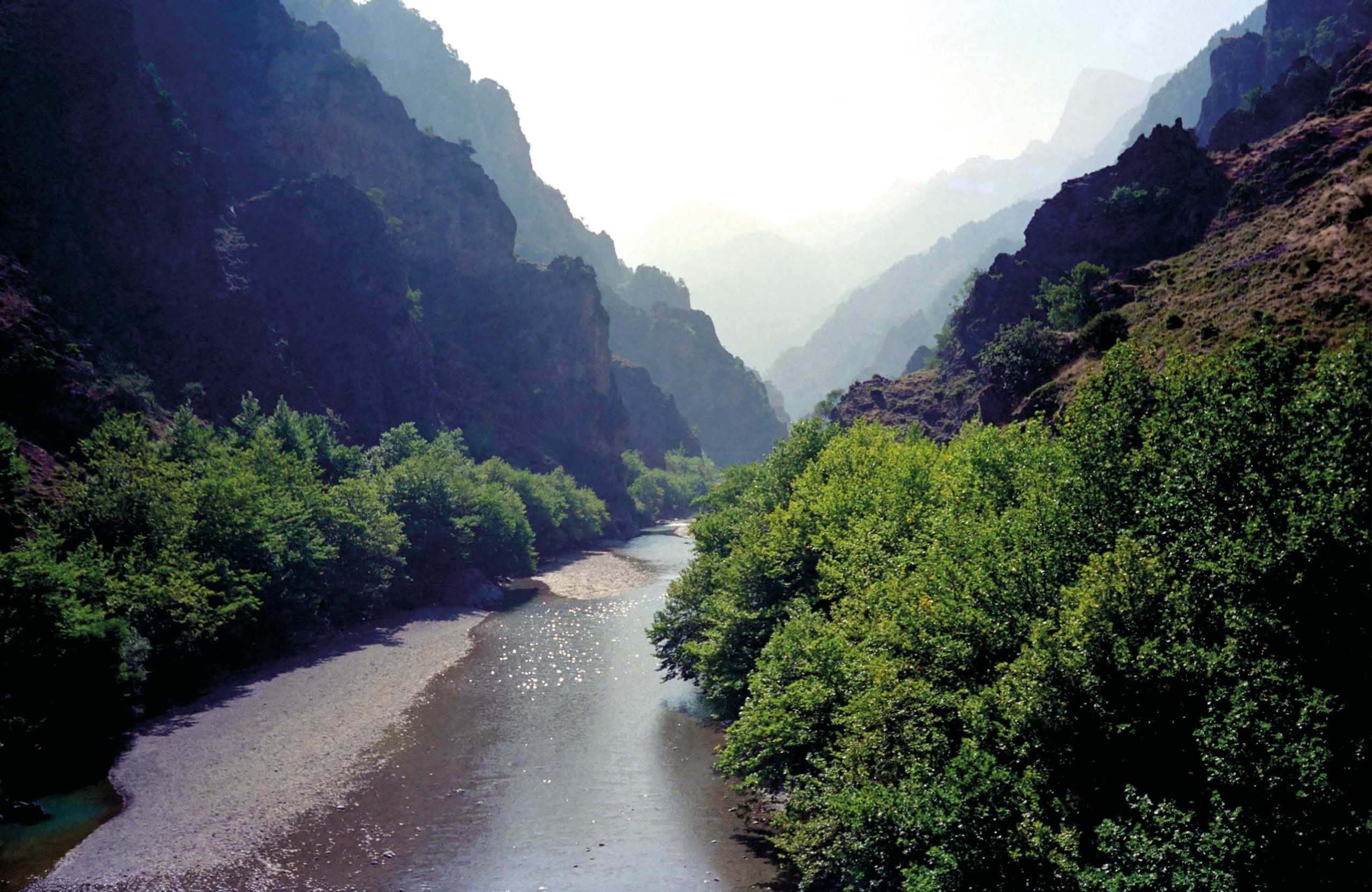
The last part of this valley is a gorge about 8 kilometres long, which ends at the town of Konitsa. Below Konitsa the river crosses a small plain, where the Voidomatis River joins it. At the border with Albania it meets a second river, the Sarantaporos, and leaves Greece near the monastery of Molyvdoskepastos. In Albania the river is called the Vjosa. It reaches the Adriatic Sea north of the city of Vlorë, about 270 kilometres from its source.
Activities
The simplest way to see the Aoos is the walk through the gorge. A marked path starts at the old stone bridge of Konitsa, the town where the gorge ends, and follows the river to the Stomio monastery. It is about 6 kilometres long and takes one and a half to two hours each way. From the monastery, longer marked routes climb to Drakolimni, a small lake high on Mount Tymfi, and go on to the village of Vrysochori. In summer people also go swimming in the river between the Konitsa bridge and the bridge at Bourazani, downstream.
Rafting and kayaking companies are based in Konitsa. The main run starts at a bridge between the villages of Palioseli and Vrysochori and ends at the Konitsa bridge. It is 15 to 20 kilometres long, takes four to eight hours and has difficult rapids, so it is only for experienced adults. Shorter and easier runs are offered near Konitsa and further downstream, towards the border.
History & Culture
The stone bridge of Konitsa stands where the Aoos leaves its gorge, at the entrance to the town of Konitsa. It was built in 1870 by a master builder named Ziogas Frontzos. It has a single arch about 20 metres high and more than 35 metres wide. A small bell hangs under the arch. It rang in strong wind and warned people that the crossing was dangerous. Visitors cross the bridge on foot.
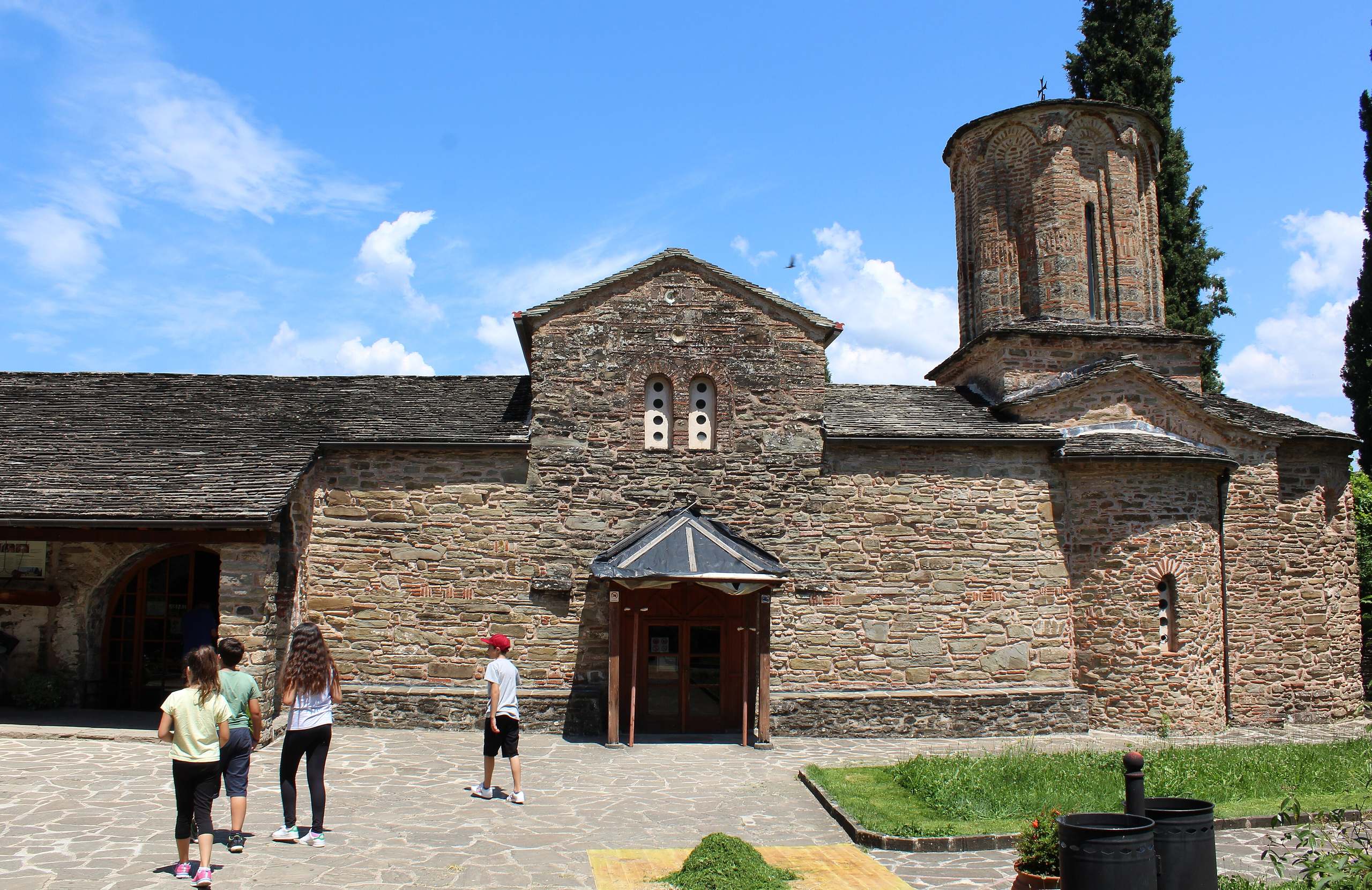
Other monuments stand along the river. In Vovousa, a village in eastern Zagori, a stone bridge from 1748 joins the two halves of the village across the water. Inside the gorge, the Stomio monastery stands at about 650 metres, above the narrowest part. It was built on this spot in 1774, and its church survived when the monastery was burned in 1943. Monks live there. Near the border, the monastery of Molyvdoskepastos is linked by tradition to a Byzantine emperor of the 7th century.
Nature & Outdoors
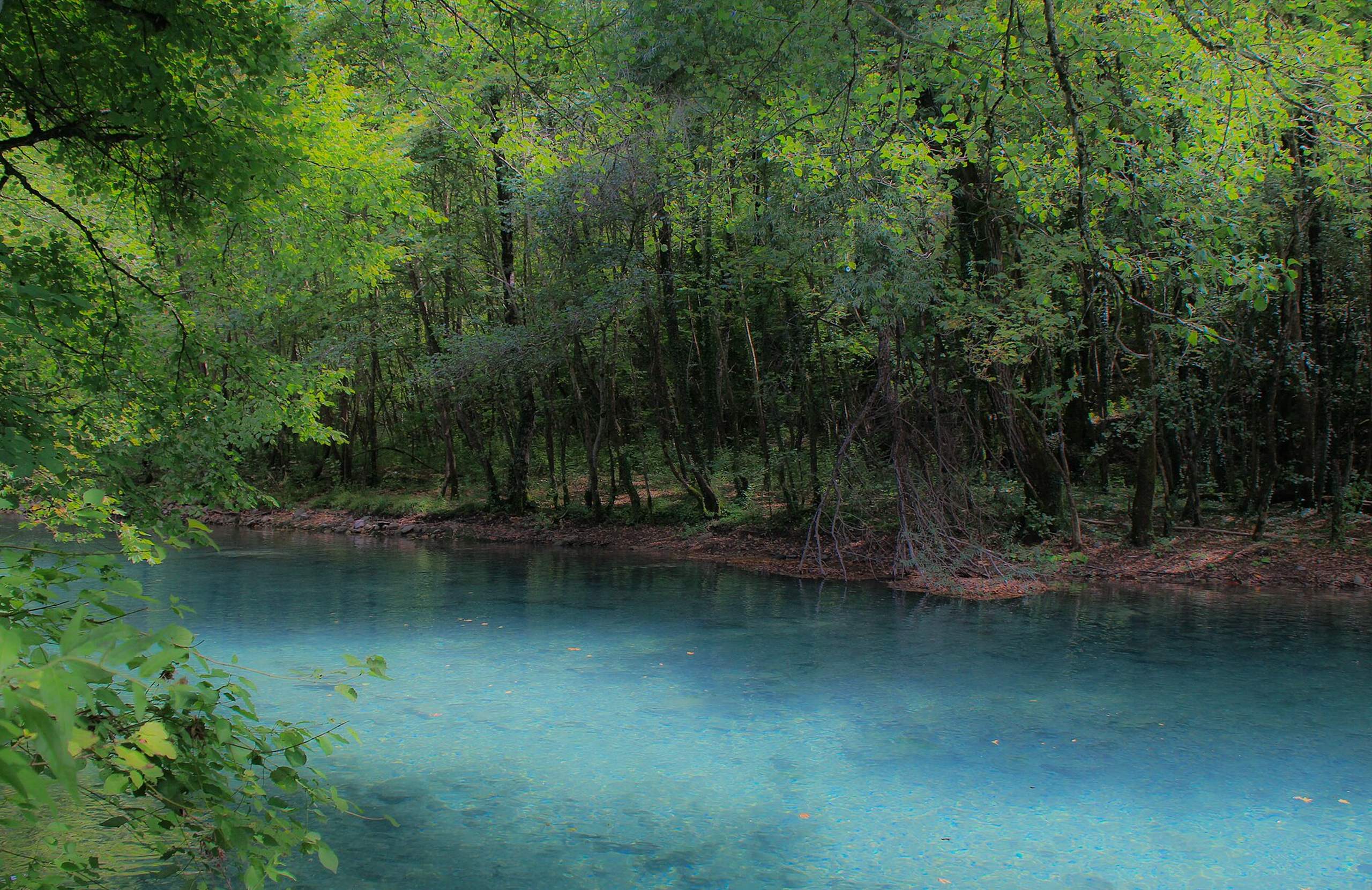
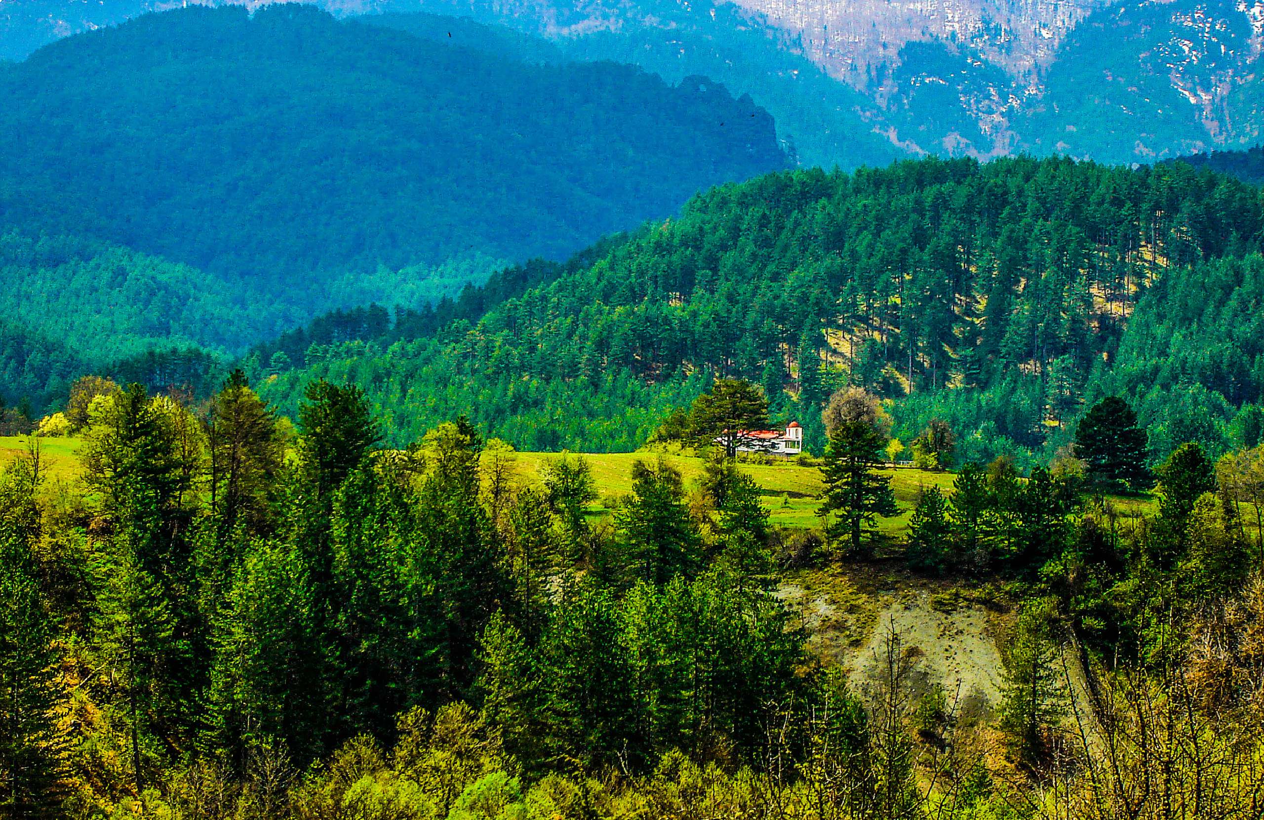
Above the gorge, the Aoos flows through the Northern Pindos National Park, created in 2005. Forests of black pine and fir cover the valley around Vovousa, the village on the upper river, together with oak and maple. A stream called Arkoudorema comes down from the Valia Calda valley and forms natural pools near the village. Brown bears, wolves and otters live along the river, and chamois live on the rocky slopes. These animals avoid people, so do not expect to see them.
The gorge belongs to the Vikos–Aoos National Park and to the Vikos–Aoos UNESCO Global Geopark. Below the dam at its source, the Aoos flows freely all the way to the sea. In 2023 Albania made its part of the river a national park. In the same year Greece protected the stretch between the Northern Pindos National Park and the border.
Practical information
Getting there
Konitsa, the town where the gorge ends, is the base for the river. It is north of Ioannina, the main city of Epirus. The old stone bridge is at the entrance to the town, and the path into the gorge starts there. The upper river is a separate trip. Vovousa, the village on the upper Aoos, is reached by long mountain roads. The Aoos Springs Lake is near Metsovo, a mountain town east of Ioannina. Asphalt roads reach all these places, but drive with care in winter.
When to go
Rafting on the main run is done in spring, from March to May, when the river is full. Check with the companies in Konitsa, because the dates follow the water level. Summer is the season for swimming and for the walk through the gorge to the Stomio monastery. The strength of the current changes with the season, so look at the water before you swim. On 8 September, the feast day of the monastery, hundreds of people walk up from Konitsa.
Good to know
The main rafting run is only for experienced adults. Beginners and families usually raft on the Voidomatis River nearby, which is much gentler. The Stomio monastery, inside the gorge, is a working monastery of monks, so dress modestly and check whether it is open to visitors before you walk there. The path to it starts at the east end of the Konitsa bridge and is well marked.
Getting around
The lower and upper river are far apart by road, so plan them as separate days. The walk into the gorge starts at the old stone bridge of Konitsa, the town at the end of the gorge, and you return the same way. The bridge at Bourazani and the monastery of Molyvdoskepastos are downstream from Konitsa, on the road towards the border. For rafting and kayaking, ask the companies in Konitsa about transport to the start of the run.
Aoos River— been there?Tell others what you saw.
A photo and two lines are enough.
