Exploring the Magnesia Area

Magnesia is the eastern corner of Thessaly: a plain that runs into a gulf, a mountain that runs into the sea, and a long tail of land pointing south towards the Sporades.
Its capital is Volos, and behind the city rises the Pelion peninsula, both of which have their own pages here.
The rest of Magnesia is quieter and less visited. On the plain outside Volos are two of the oldest organised settlements in Europe. To the north lies a lake that was drained in 1962 and brought back forty years later. And the southern end of the regional unit — Almyros, Pteleos, Trikeri — is a coast that Greeks use and almost nobody else does.
What travellers posted

Been here? A photo and two lines are enough.
History & Culture
Sesklo and Dimini
Two low hills a few kilometres outside Volos hold Neolithic settlements among the earliest in Europe.
Dimini was first occupied in the Late Neolithic, around the early fifth millennium BC. What makes it unusual is its plan: six stone enclosure walls, built in pairs and added progressively around the hill, with houses between them and a central courtyard at the top. Archaeologists describe it as the most complete picture of a Neolithic settlement found anywhere in Greece.
It was not abandoned when the Neolithic ended. People lived there continuously into the Bronze Age, and from the middle of the fifteenth century BC Mycenaean houses were built over the earlier ones. A wide street and five large houses of the twelfth century BC have been uncovered, along with two tholos tombs that the excavators attribute to local rulers.
Sesklo, a few kilometres west, is the other, and it is older still.
Demetrias
South of Volos, on the shore of the gulf, are the remains of Demetrias, a city founded at the beginning of the third century BC by Demetrios Poliorketes and used as a royal seat by the Macedonian kings. Its theatre survives.
The museum
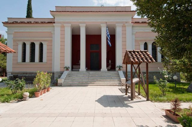
The Athanasakeion Archaeological Museum of Volos — the two names refer to the same building — holds the finds from all of this: the Neolithic material from Sesklo and Dimini, the painted grave stelae of Demetrias, and the archaeology of the whole regional unit.

Nature & Outdoors
The lake that was killed and brought back
Until 1962 there was a large lake below the northern slopes of Pelion. Its ancient name was Voivis; more recently it was called Karla.
It covered about 195 square kilometres and was the second largest wetland in Greece. Around it lived a fishing culture that went back to prehistory, including a settlement of more than a hundred huts at Kalamaki inhabited only by men during the fishing season.
The state decided to drain it — the arguments were flooding, mosquitoes, malaria and the value of the farmland. Work began in 1956, a ten-kilometre tunnel was cut to send the water into the Pagasetic Gulf, and by 1962 the lake was gone. The ecological consequences were severe and the promised farmland was less productive than expected.
In 2000 the state reversed itself. A European-funded programme created a reservoir of about 38 square kilometres, roughly a fifth of the original. Water returned, and so did the birds.
There is a museum on the shore covering the lake's history and the culture that lived from it.
The gulf
The Pagasetic Gulf is almost closed, entered through a narrow channel at the southern tip of Pelion. That makes it sheltered, warm and calm, and it is one of the better sailing grounds in Greece — with the Sporades a few hours beyond the entrance.

Villages & Inland
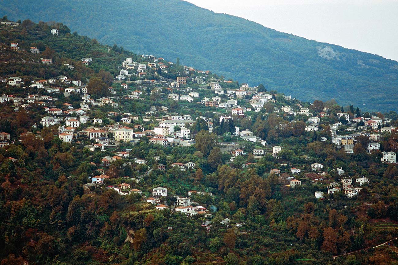
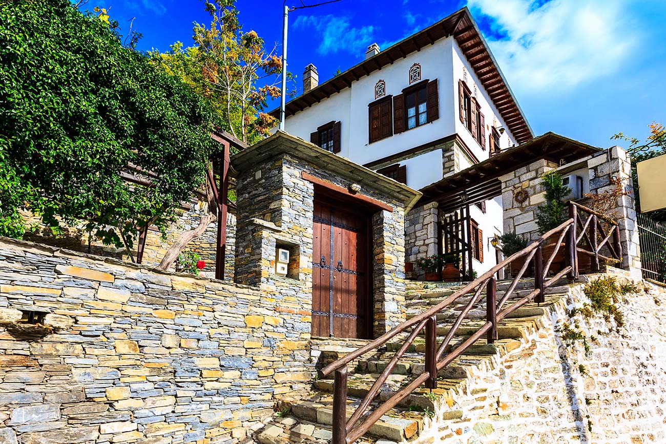
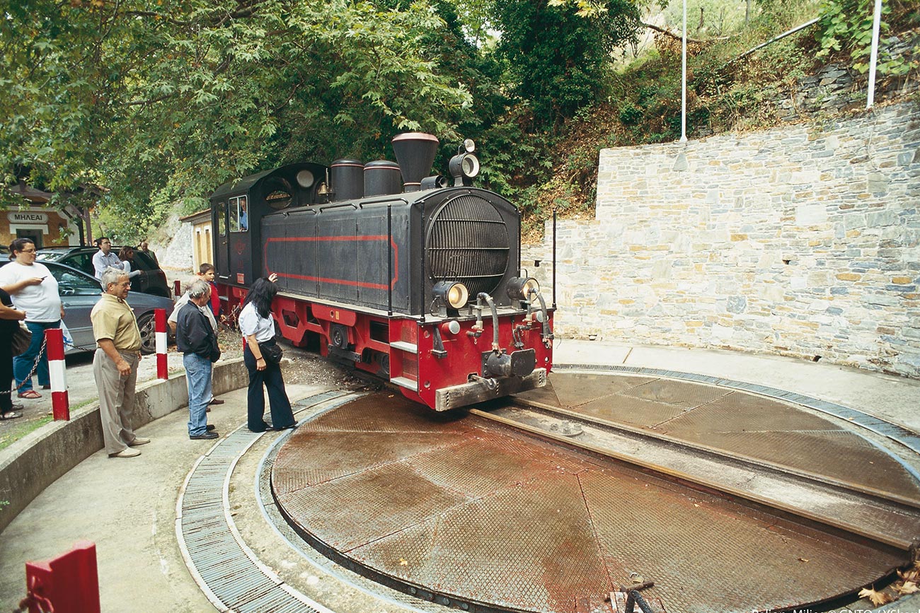
The villages that most people come to Magnesia for are on Pelion — Makrinitsa and Portaria above Volos, Zagora and Tsagarada on the eastern slopes, Milies at the end of the old narrow-gauge railway. They are stone-built, set in chestnut and beech woods, and they are covered on their own page.
The southern part of Magnesia, beyond the Pelion road, is different: farming country running down to a quiet coast.
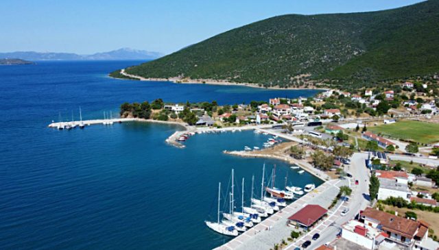
Almyros is the market town, with its own archaeological museum. Amaliapoli and Achilleio are small coastal villages on the western shore of the gulf, and Pteleos sits inland above its harbour at Pigadi.
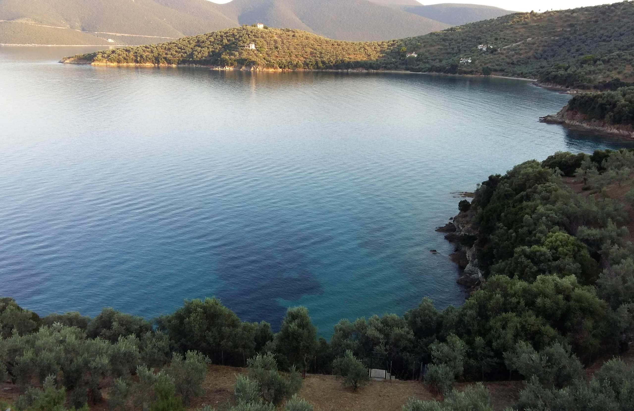
At the far southern tip of Pelion, Trikeri is a village of white houses on a hill above the channel into the gulf. Below it, Agia Kyriaki is a working boatyard village, and offshore lies the islet of Palaio Trikeri, with a monastery, a few houses and no cars.
Beaches
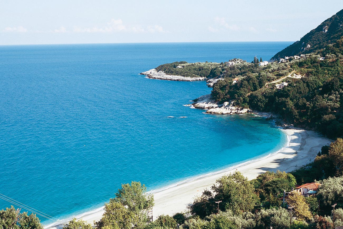
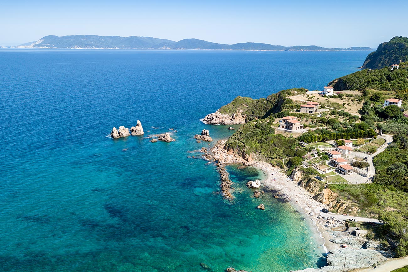
The best-known beaches in Magnesia are on the eastern side of Pelion, where the mountain drops into the Aegean — Papa Nero, Mylopotamos, Horefto, Damouchari.
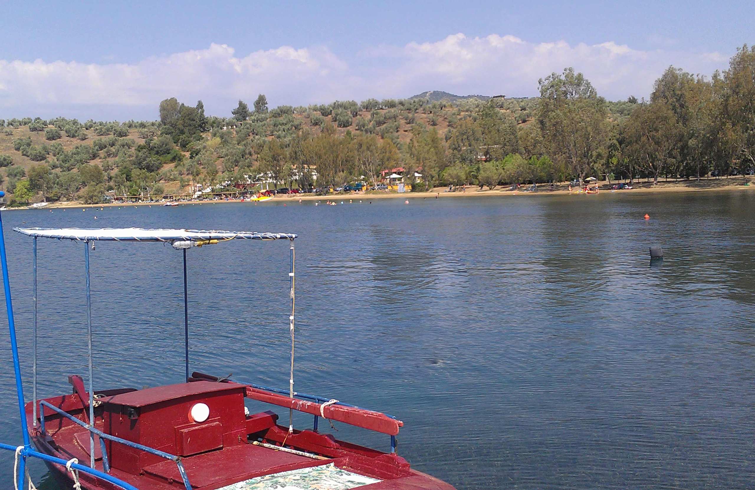
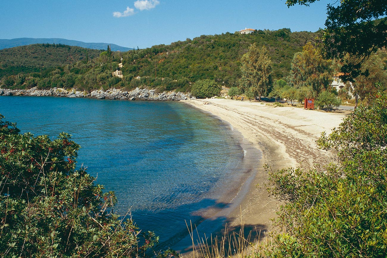
On this side, the western shore of the Pagasetic Gulf is calmer and shallower, sheltered and warm, and the beaches are mostly sand and small pebbles with tamarisks behind them. Nies and the coast towards Pteleos are the same.
The area around Trikeri and Agia Kyriaki, at the southern tip, has small pebble coves reached down tracks, and boats run out to Palaio Trikeri in summer.
None of this coast is developed in the way the eastern Pelion beaches are.
Food & Drink
The regional unit's food culture is built around tsipouro and the small plates that come with it. In Volos this has produced a specific institution, the tsipouradiko, where each round of drink arrives with a new plate you did not order — usually seafood, and usually not the same twice.
The plain around Almyros produces olive oil, and the mountain villages produce honey, chestnuts and apples.
Where to Stay
Prices shown per night for a sample 3-night stay. Rates and availability vary by season — select your dates for live pricing.
Practical information
Getting there
Volos is the gateway, about 330 km from Athens and 210 km from Thessaloniki, both by motorway. The city has a railway station and a port with ferries to the Sporades. Nea Anchialos airport is 25 km south.
Getting around
A car is needed for anything outside Volos. The southern part of the regional unit is spread out, Lake Karla is about 30 km north, and Trikeri at the tip of Pelion is nearly two hours from the city on a narrow road.
Buses connect the main towns but not the archaeological sites or the lake.
When to go
Spring and autumn are the best for the archaeological sites, the lake and the walking, and the birds at Karla are most numerous outside summer.
Summer is for the gulf and the coast. Winter brings snow to Pelion and a working ski centre.
Good to know
Check the opening hours of Sesklo and Dimini before going. They are small sites with limited staff and they do not always keep the same days.
The Karla museum and observation points are run locally and the hours are limited.
The road to Trikeri is long, narrow and slow. Allow more time than the distance suggests, and check the boat times to Palaio Trikeri before setting off.
Exploring the Magnesia Area— been there?Tell others what you saw.
A photo and two lines are enough.
