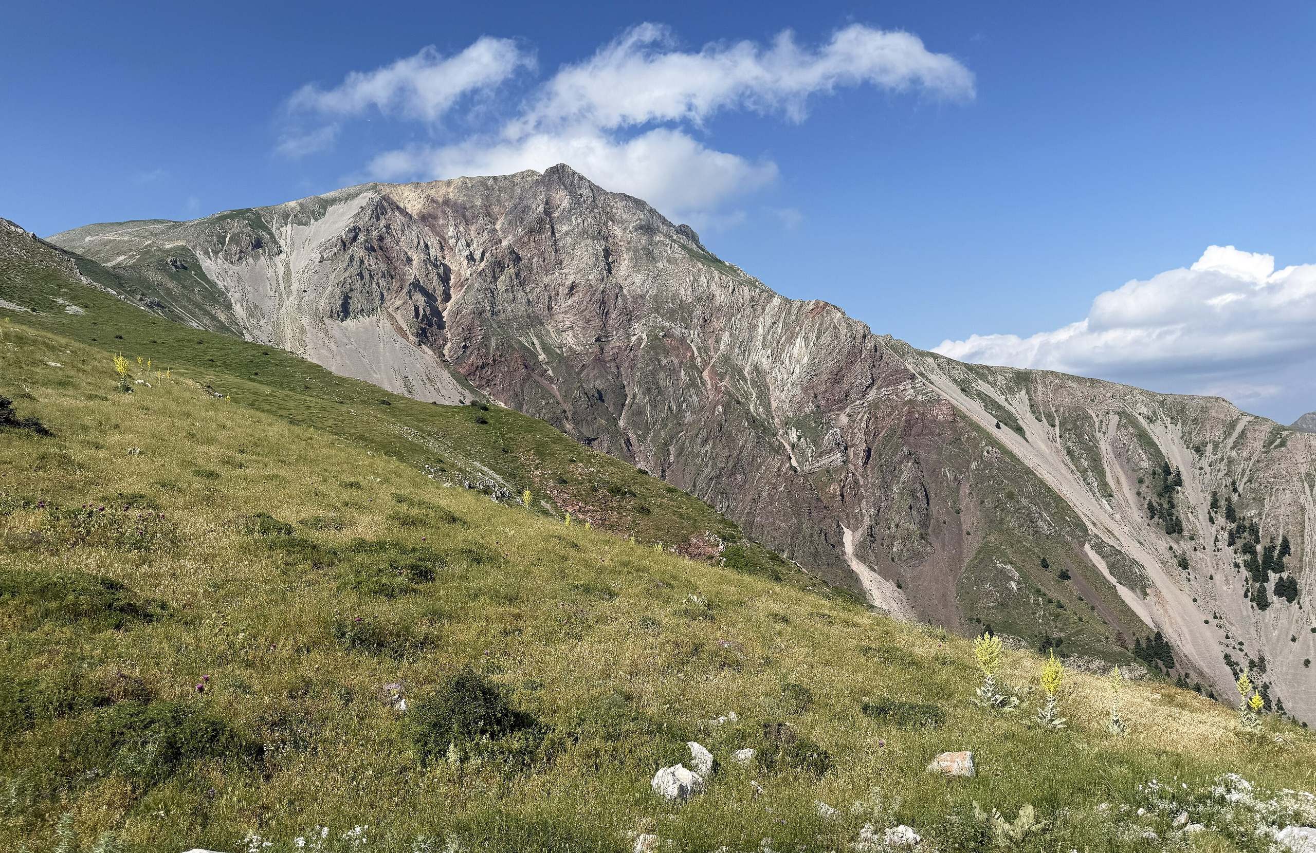
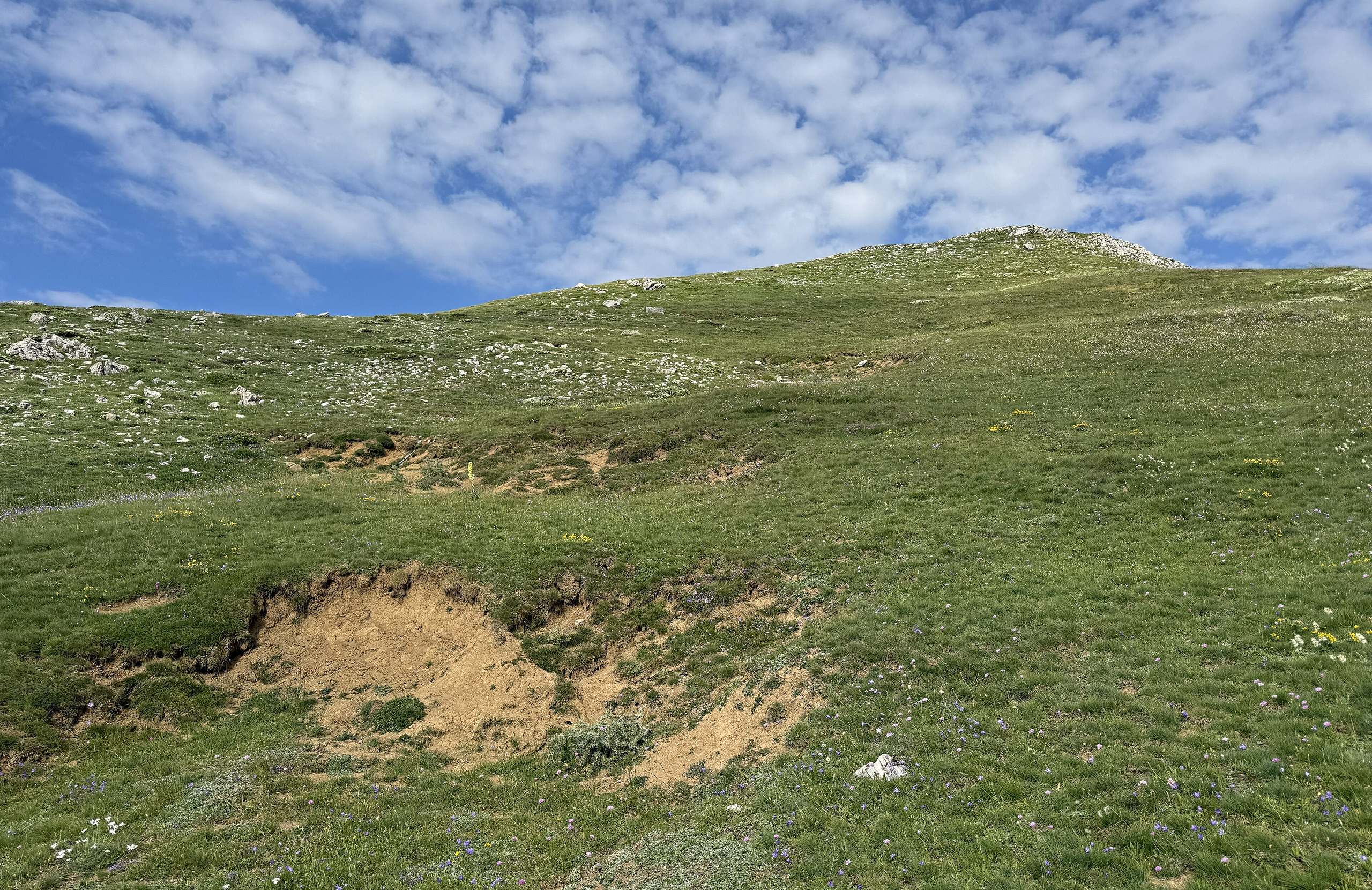
Mount Tymfristos, also known as Velouchi, rises above the town of Karpenisi in Central Greece. It is part of the Pindus range, and its summit is 2,315 metres high. People come here mainly to ski. The ski centre is on the plateau of Diavolotopos, at about 1,850 metres, and an asphalt road reaches it from the town. The same plateau is the start of the walk to the summit, which takes about two hours in summer. Fir forest covers the lower slopes, and open grassland lies above it. Villages with stone houses stand low on the mountain, among them Korischades near Karpenisi and Mavrilo on the eastern side. A mountain refuge next to the ski centre takes walkers and skiers who want to sleep on the mountain.
Geography
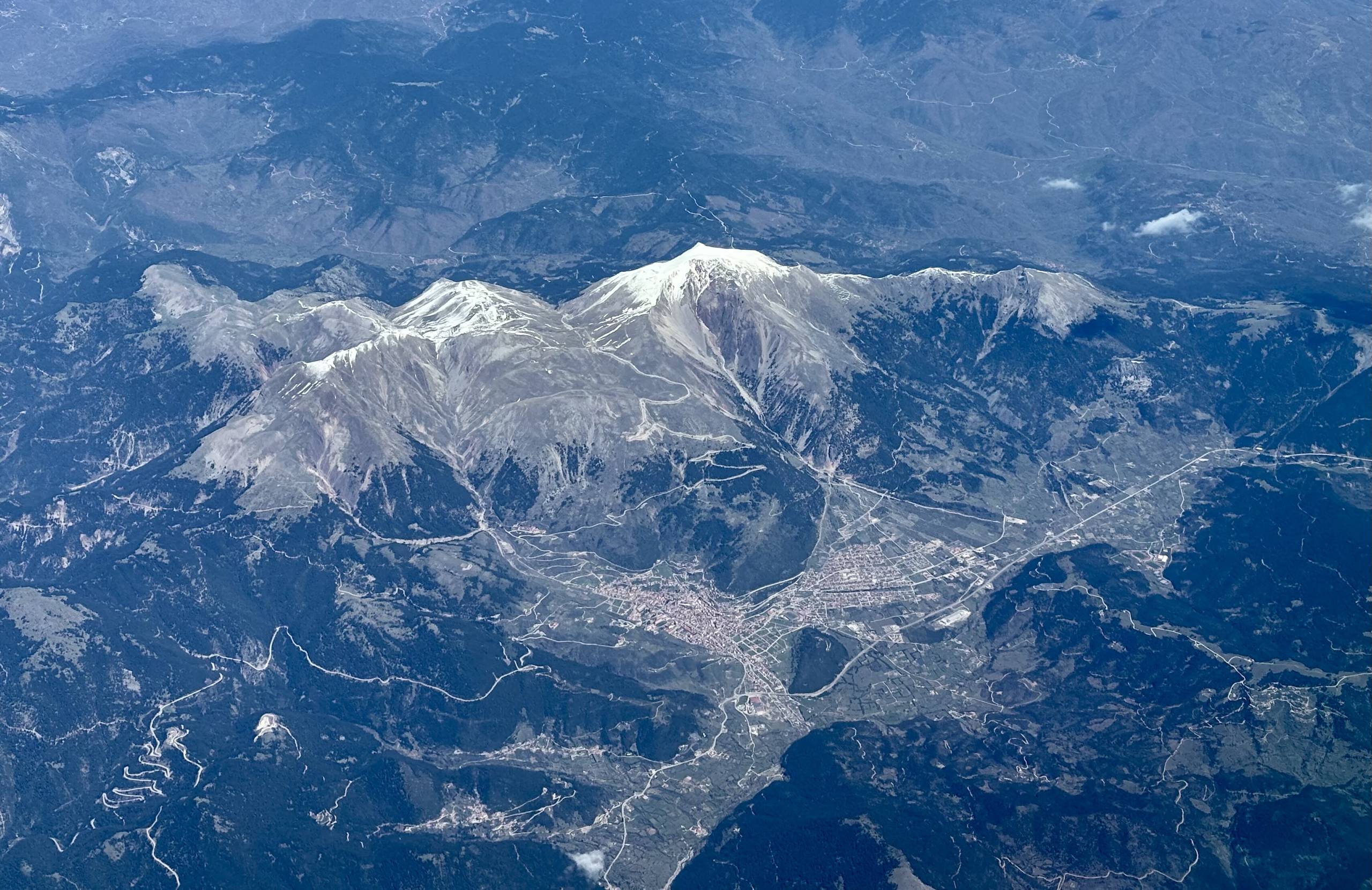
Mount Tymfristos, also known as Velouchi, stands in the southern part of the Pindus range. Its highest point is 2,315 metres above sea level. The border between Evrytania and Phthiotis, two regional units of Central Greece, crosses the mountain. The town of Karpenisi lies below its south-western side, at about 970 metres. Above the town, at about 1,850 metres, is the plateau of Diavolotopos, and the summit ridge rises from this plateau.
Water from the eastern side runs to the Sperchios River, which begins on this mountain. Water from the western side runs to the Tavropos (Megdovas) River and then to the Achelous River. The Agrafa Mountains are to the north and the Vardoussia Mountains to the south-east. Forest covers the lower slopes, and grass covers the ground higher up. The main road between the city of Lamia and Karpenisi passes the southern side of the mountain through a tunnel about 1.4 kilometres long.
Activities
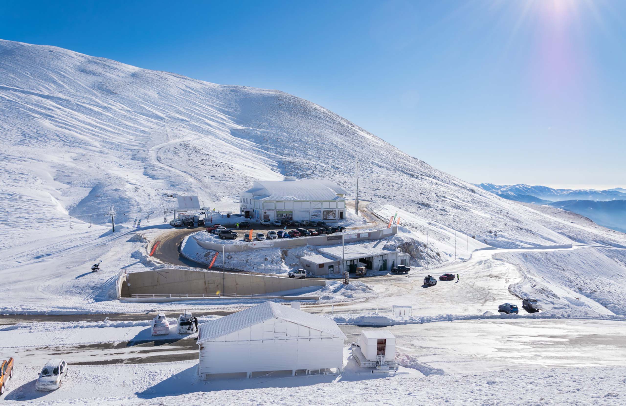
Most visitors come to Velouchi for skiing. The ski centre is at Diavolotopos, a plateau about twelve kilometres by road from the town of Karpenisi. It opened in 1974, and its runs lie between about 1,800 and 2,100 metres. It has more than fifteen runs, with chairlifts, a drag lift and a moving belt for beginners. The season depends on the snow, so check whether the centre is open before you go.
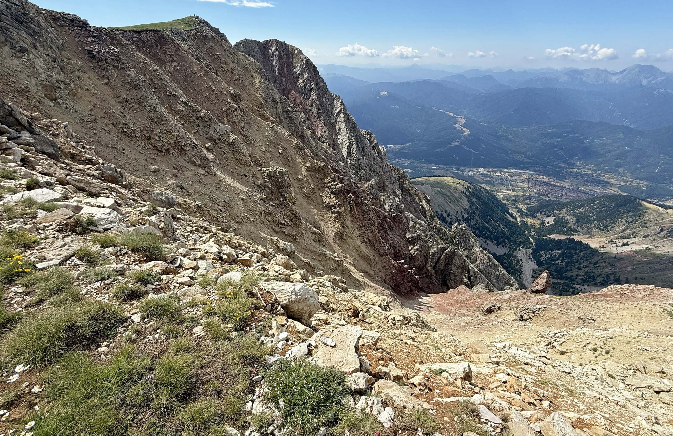
The walk to the summit also starts at the ski centre. The path is about two kilometres long and climbs about 450 metres, and the way up takes between one and a half and two hours. Red marks show the way, but some of them have faded. In summer the walk is easy. In winter the upper slopes are often frozen and the wind is strong, so the climb then needs winter equipment and experience.
A longer marked path from Karpenisi climbs through fir forest to the ski centre. It is a hard climb of about 900 metres.
Villages & Inland
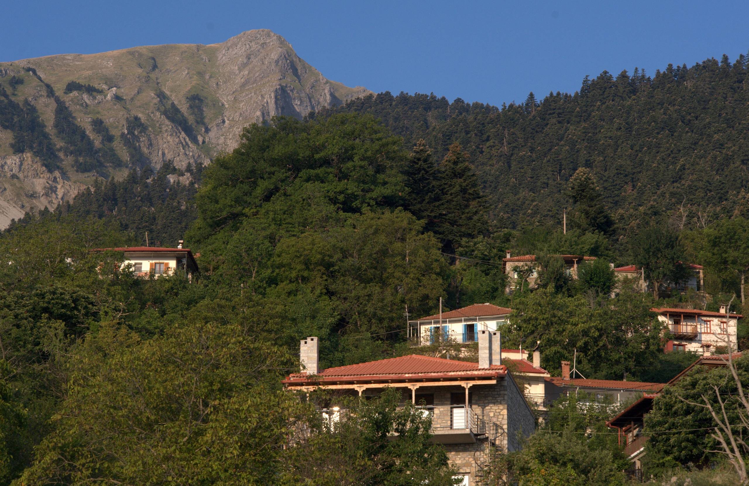
The villages of Velouchi stand on its lower slopes, below 1,000 metres. The town of Karpenisi is at the foot of the south-western side.
Near Karpenisi
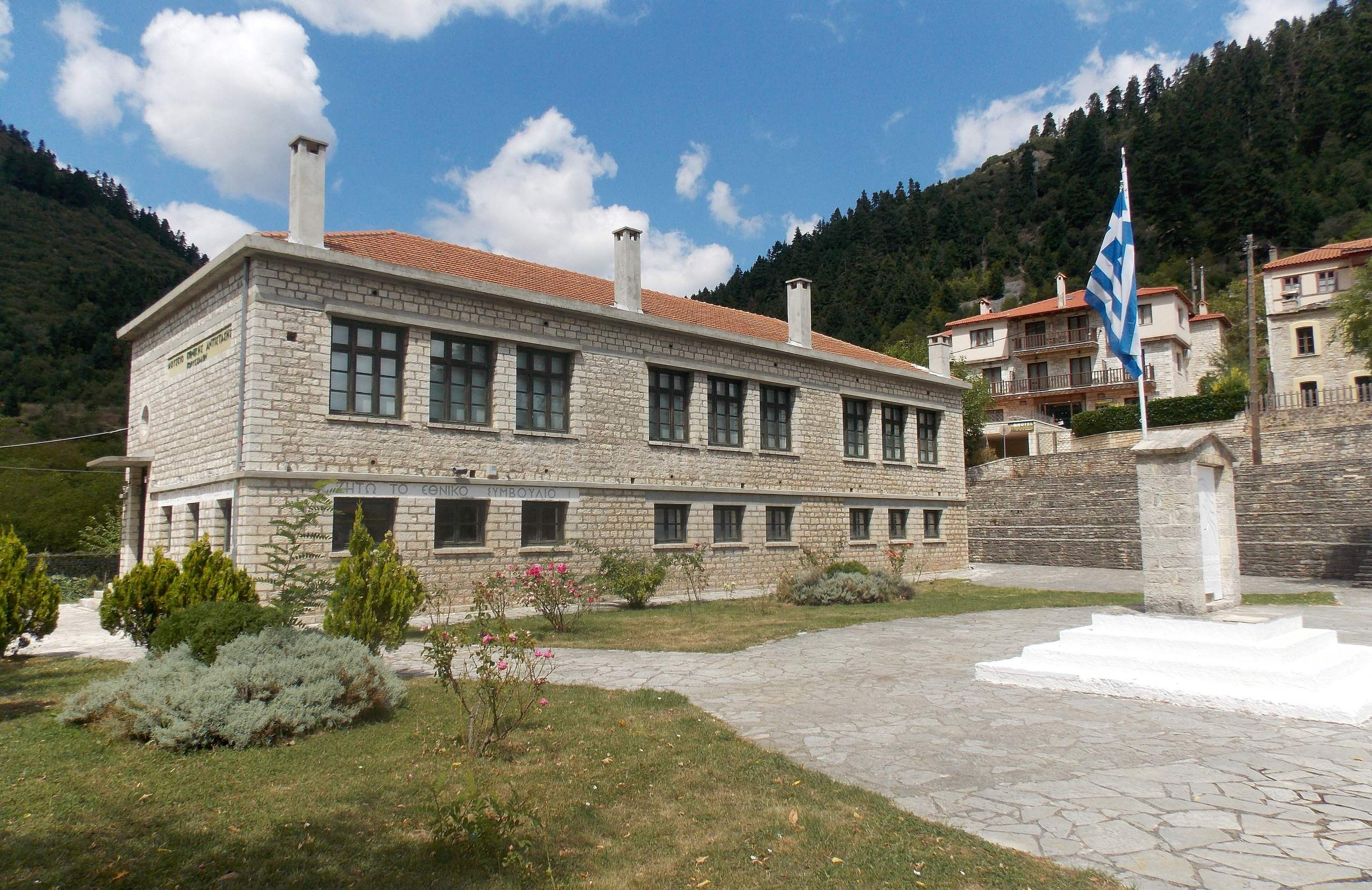
Korischades is four kilometres from the town, at 940 metres. Its stone houses have wooden balconies and upper floors that stand out over the street. In May 1944, during the German occupation, a council elected by the Greek resistance met in the village school. The school is now the Museum of National Resistance.
The eastern side
Mavrilo stands at 920 metres, among fir and chestnut trees. The village made gunpowder from the 17th century, and twelve powder mills worked here during the Greek War of Independence. A copy of a mill can be visited by arrangement. The church of Agios Dimitrios dates from 1728 and has wall paintings. Tymfristos, a village with the same name as the mountain, has stone houses and paved lanes. It looks over the valley of the Sperchios River.
Nature & Outdoors
Fir forest covers the lower slopes of Velouchi. The tree is the Greek fir, a species that grows naturally only in Greece. The road from the town of Karpenisi to the ski centre climbs through this forest, and so does the walking path.
Above the trees the ground is open mountain grassland. Part of the mountain, about 35 square kilometres, belongs to Natura 2000, the European network of protected areas. Wolves and wild boar live here, and birds of prey nest on the mountain. Several of its mountain plants grow only in Greece.
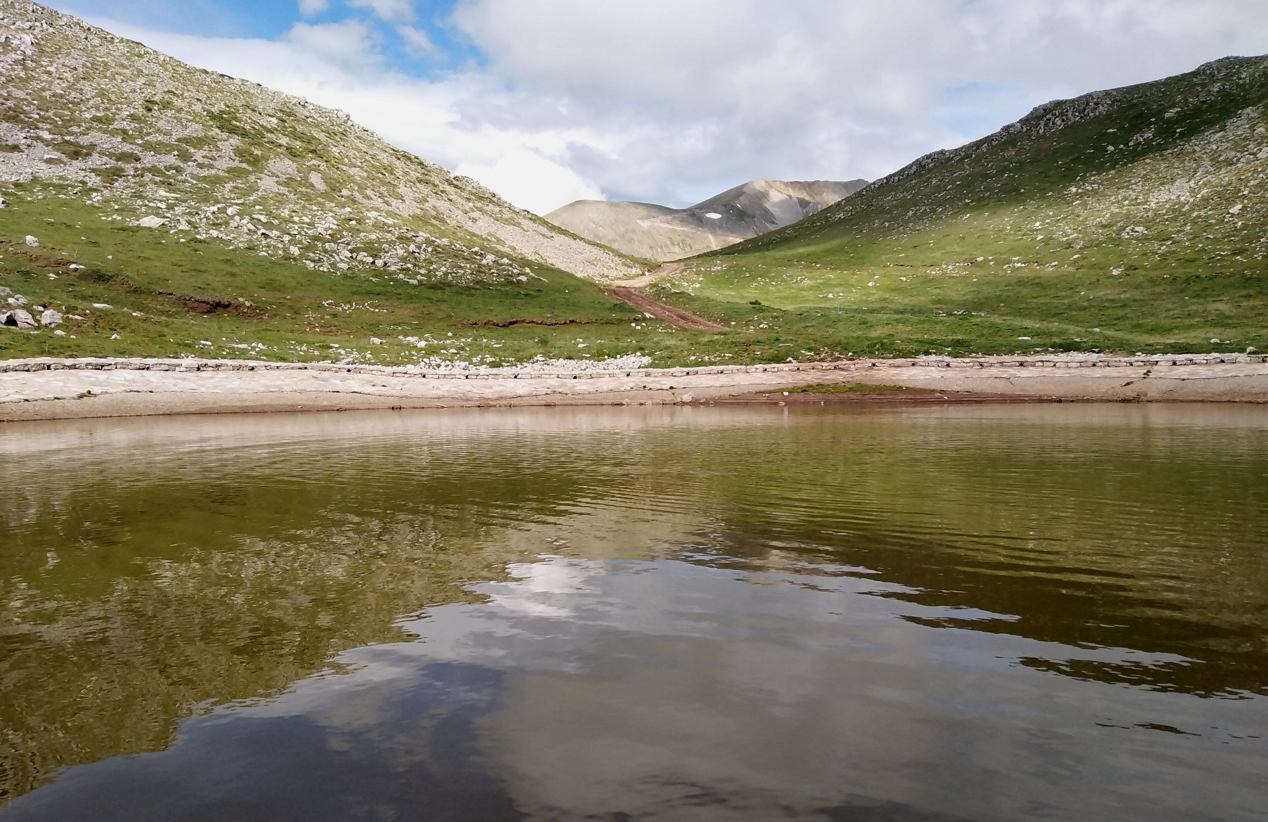
Near the ski centre, at about 1,900 metres, there is a small lake. It is a few minutes' walk from the lifts, and in summer it is full of frogs.
Practical information
Getting there
The base is the town of Karpenisi, about 290 kilometres from Athens and 75 kilometres from the city of Lamia. The drive from Athens takes about four hours, and intercity (KTEL) buses run to Karpenisi from both cities. An asphalt road climbs about twelve kilometres from Karpenisi to the ski centre. It is cleared often in winter, but check it after heavy snow. On the eastern side, the village of Tymfristos is on the road between Lamia and Karpenisi, and the village of Mavrilo is about 45 minutes from Karpenisi.
When to go
Skiing depends on the snow. The season usually falls between late December and early spring, so check whether the ski centre is open. For walking, late spring and early autumn are the most comfortable months. In summer the walk from the ski centre to the summit is easy, but the long climb from the town of Karpenisi is hot. In winter the summit is for people with winter equipment and experience, and strong north winds are common on the ridge.
Good to know
A mountain refuge stands next to the ski centre, at 1,875 metres. It has about thirty places. Call before you go to ask whether it is open and to book, and bring a sleeping bag. The weather on the mountain changes fast, so carry warm and windproof clothes in every season. In the village of Korischades, check the opening hours of the Museum of National Resistance. In the village of Mavrilo, the powder mill opens only by arrangement, so call first.
Mount Tymfristos (Velouchi)— been there?Tell others what you saw.
A photo and two lines are enough.
